Ventspils Port Side Access Route
Route, Accessible, Accessible to parents with baby-strollers, Accessible toilet, Parking lot for handicaps
Object list
Watch the route video:
Description:
Accessible city walking route
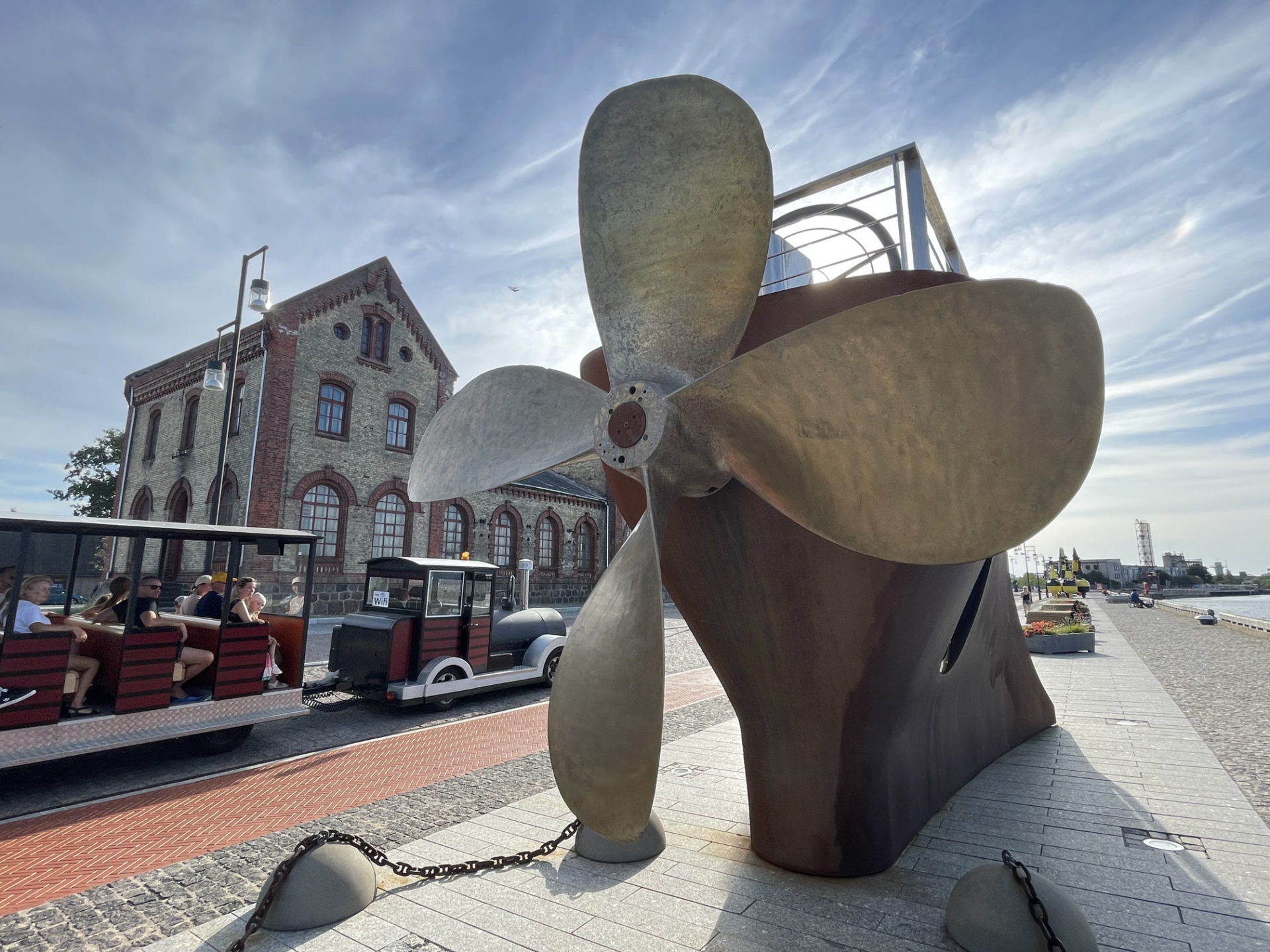
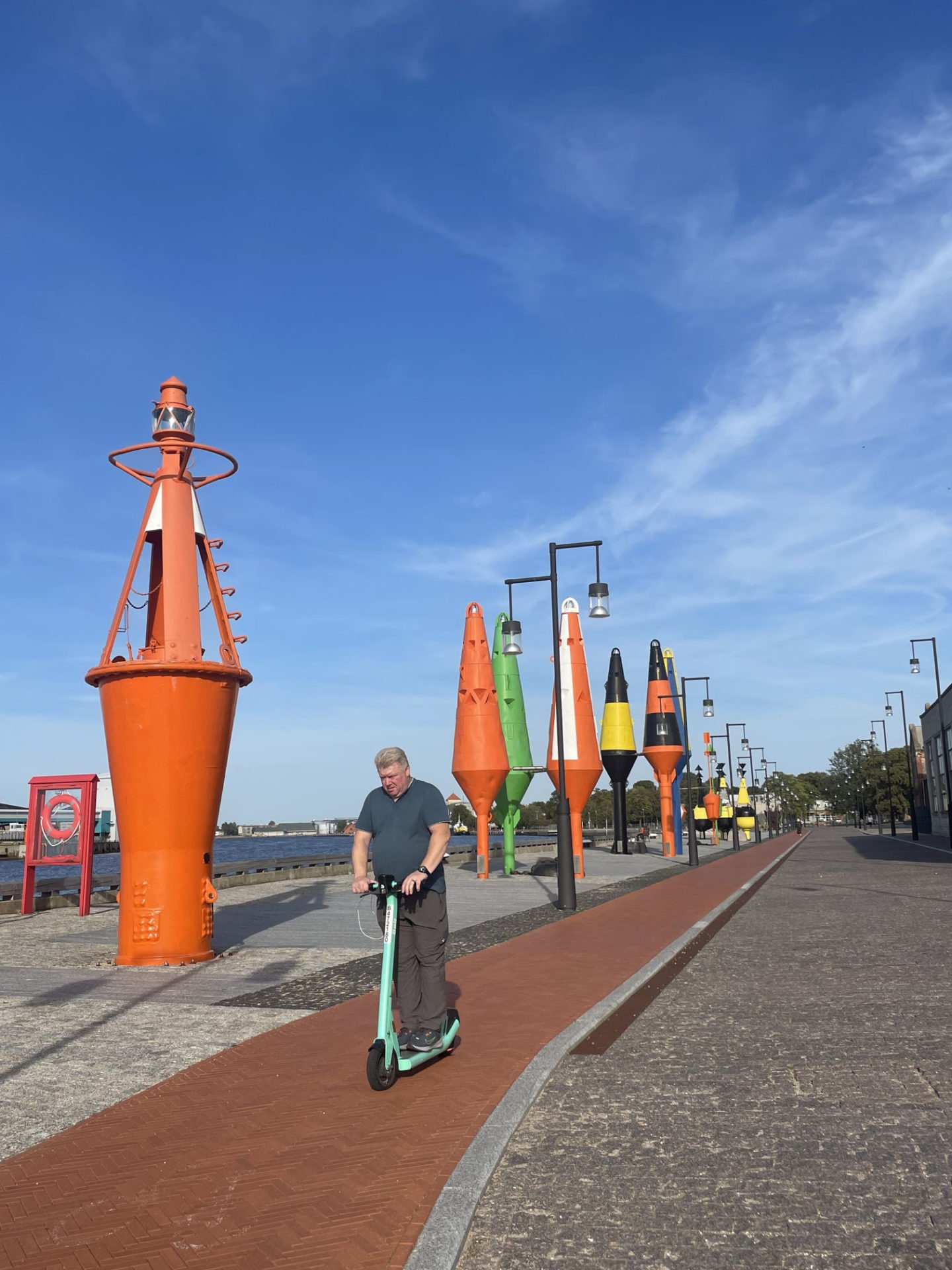
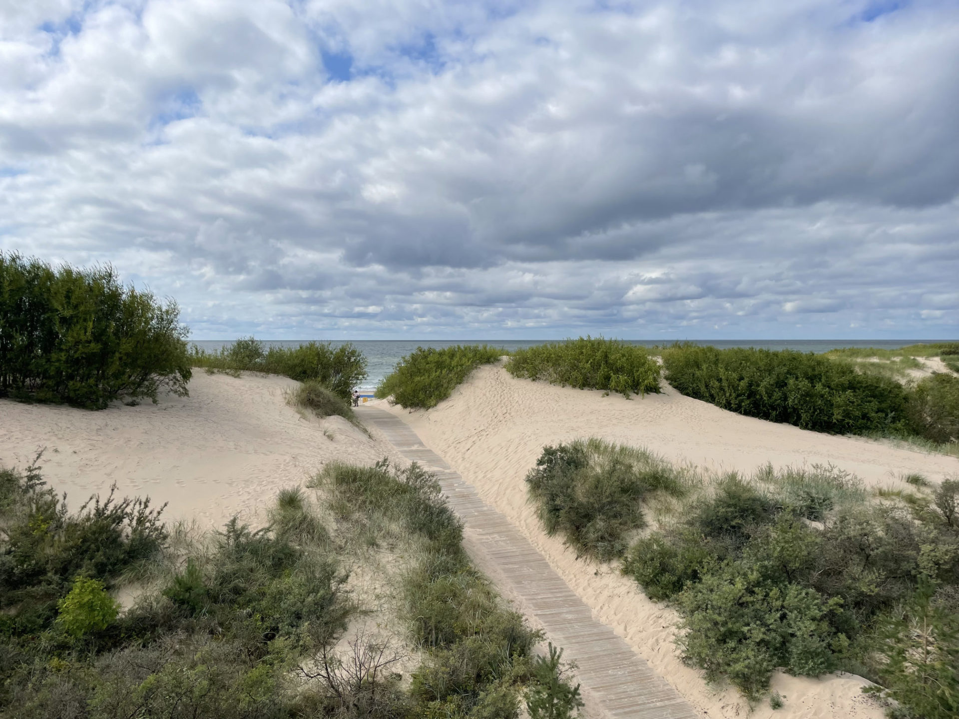
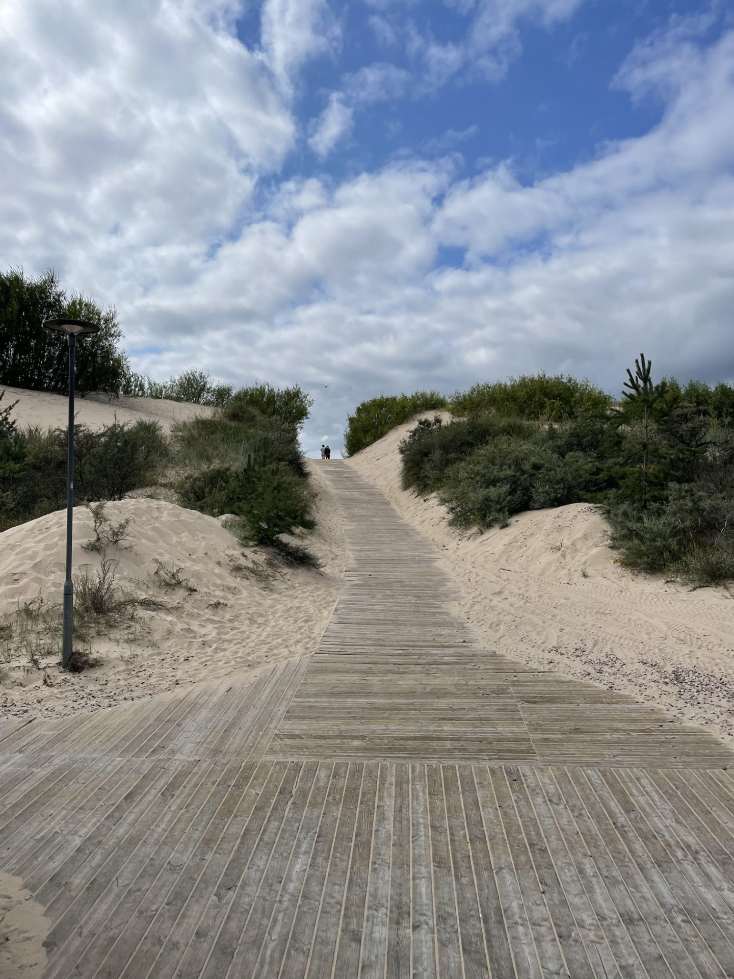
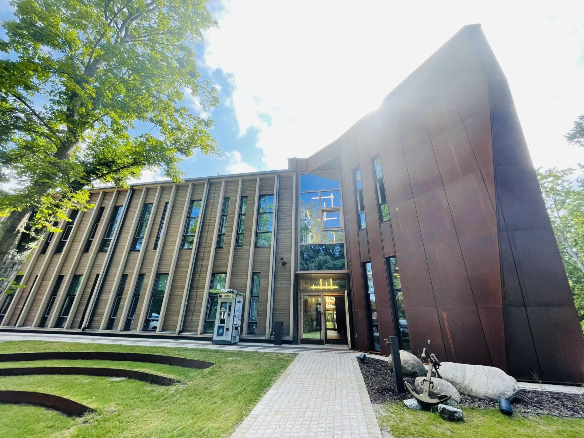
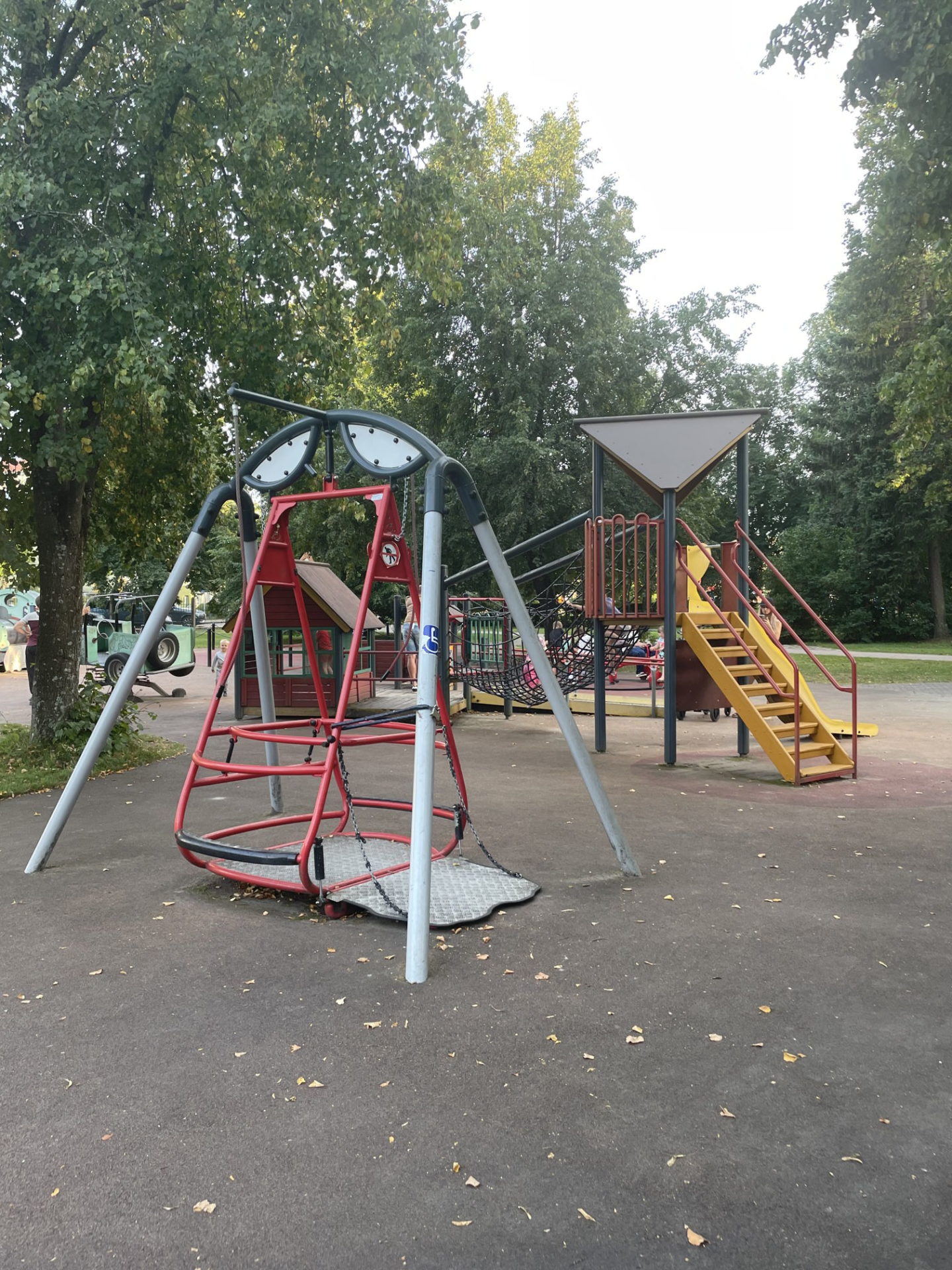
The route shows the key touristic attractions in the two districts of Ventspils city – Ostgals (Eng – Portside) and Vasarnīcu (Eng – Summerhouses) and allows you to take a longer walk along the Ostas Street Promenade, Southern Mole and Seaside Park, as well as offers more active recreation in the so called Kids’ town, i.a. with wheelchair adapted swings.
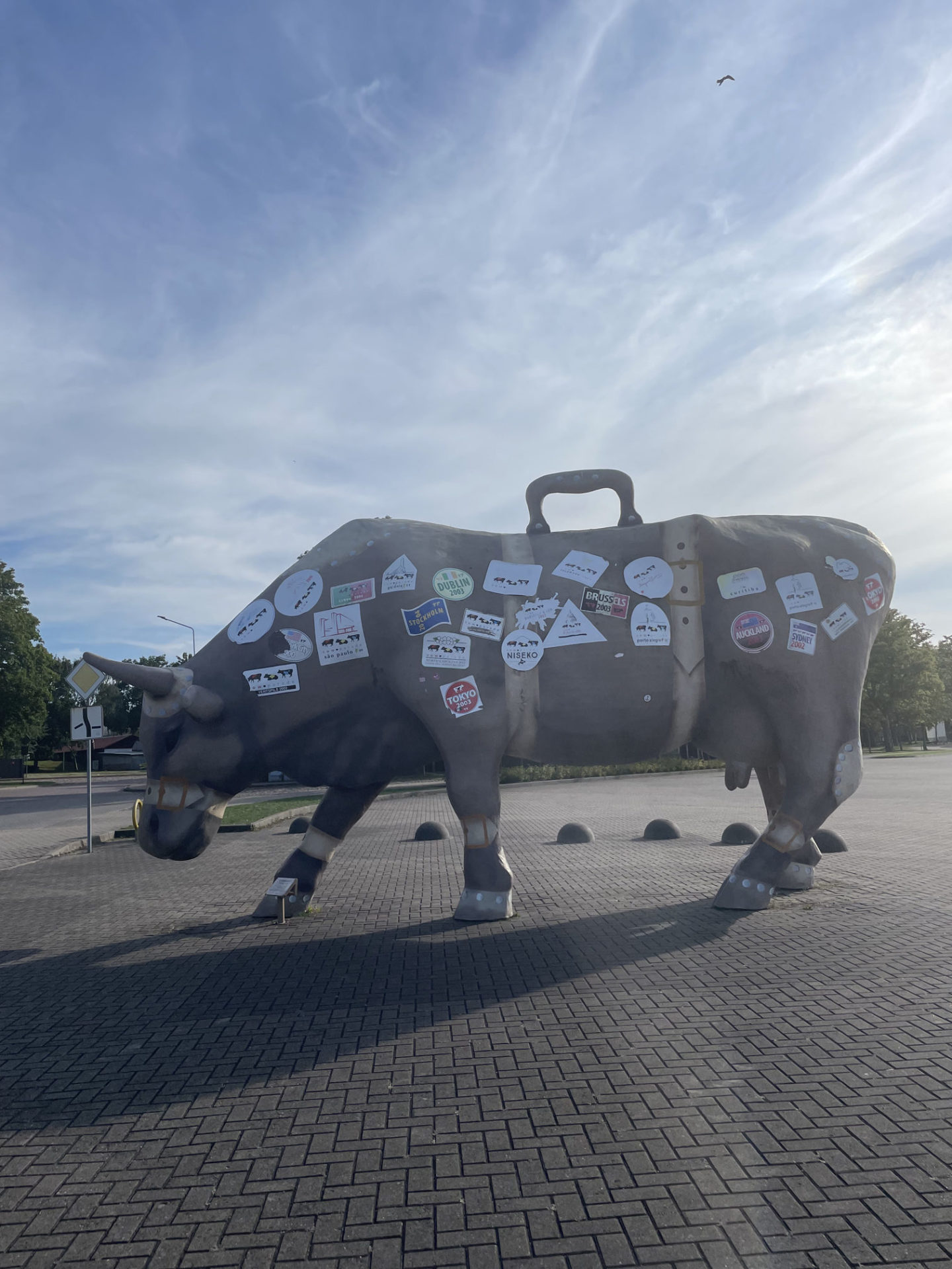
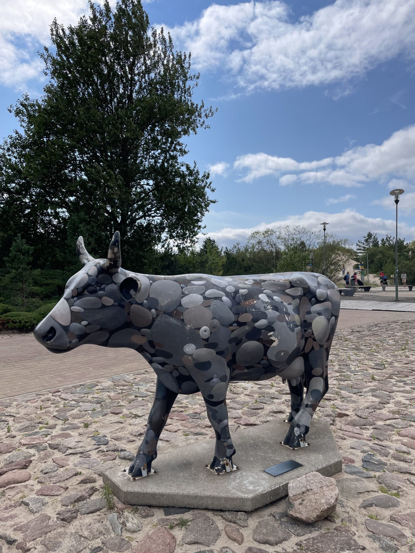
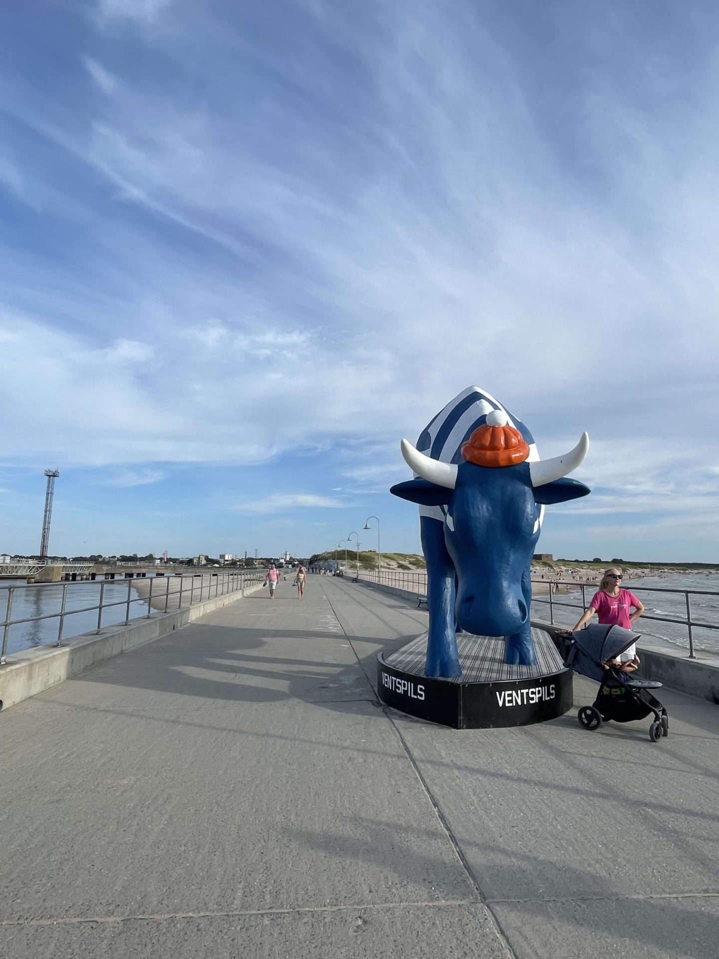
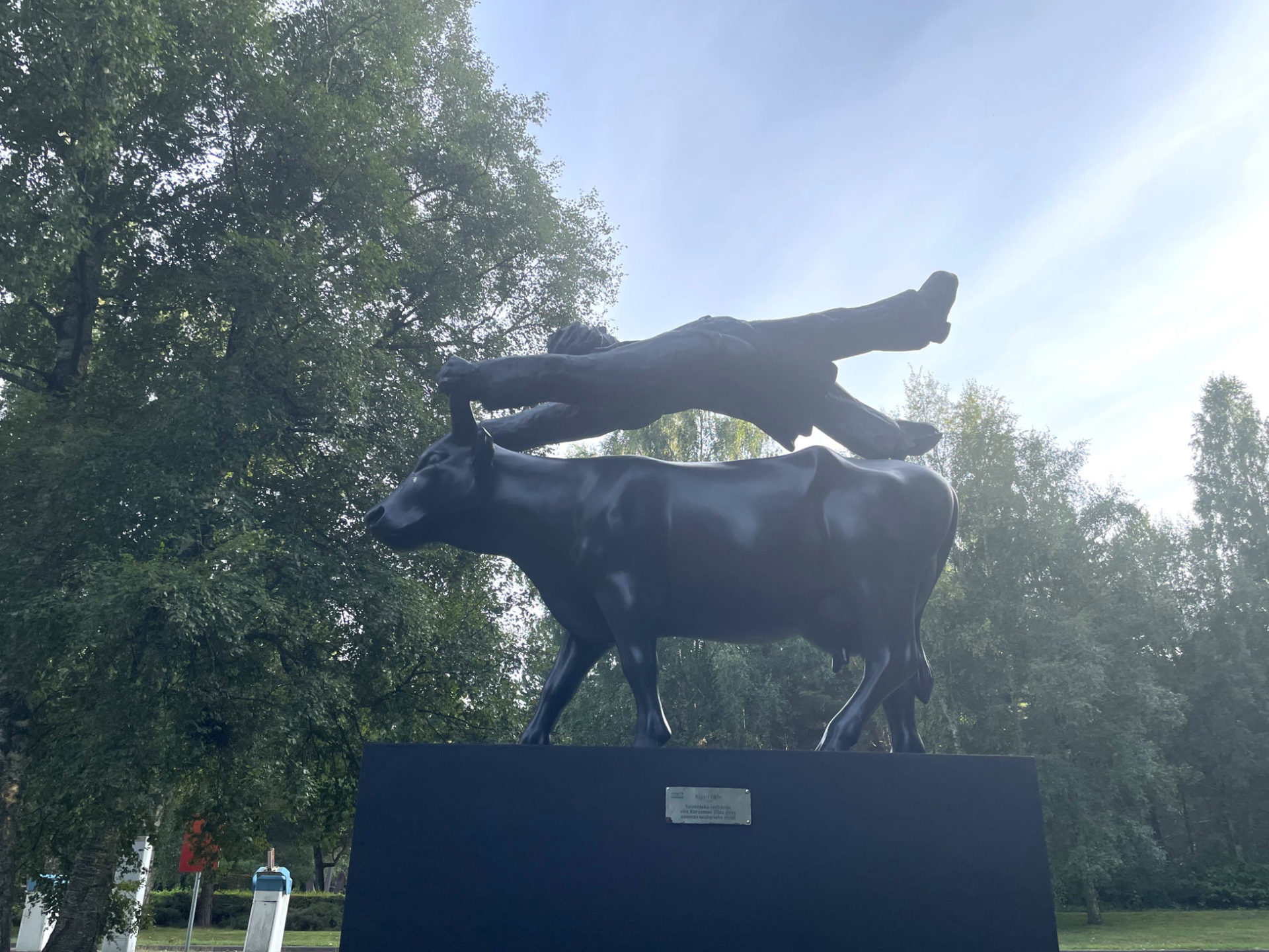
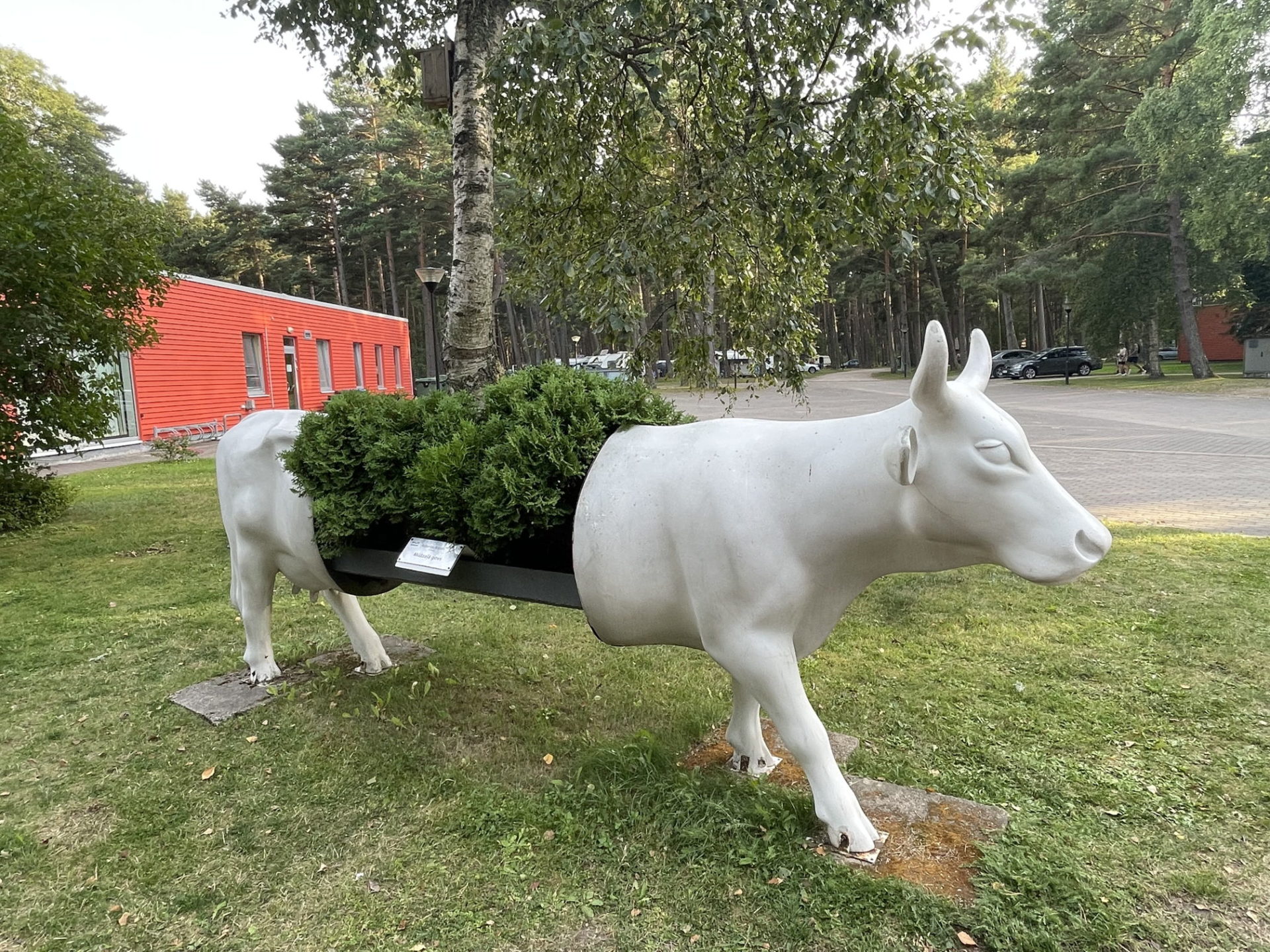
Compared to the 4 km short Ventspils City Centre access route, this is gonna be a bit more challenging route in terms of its length – 9km. Nevetheless, this route is also accessible in a wheelchair and is drawn with a key theme of COWS😊 To remind, why there are so many cow statues in Ventspils –because in 2002 and 2012 two art projects named “Cow parades” were held in the city. And now about 30 cow sculptures of different size, color and look, created by Latvian and foreign artists, can be found in the streets, squares and parks of Ventspils. You’ll definately come accross many of them on this route!
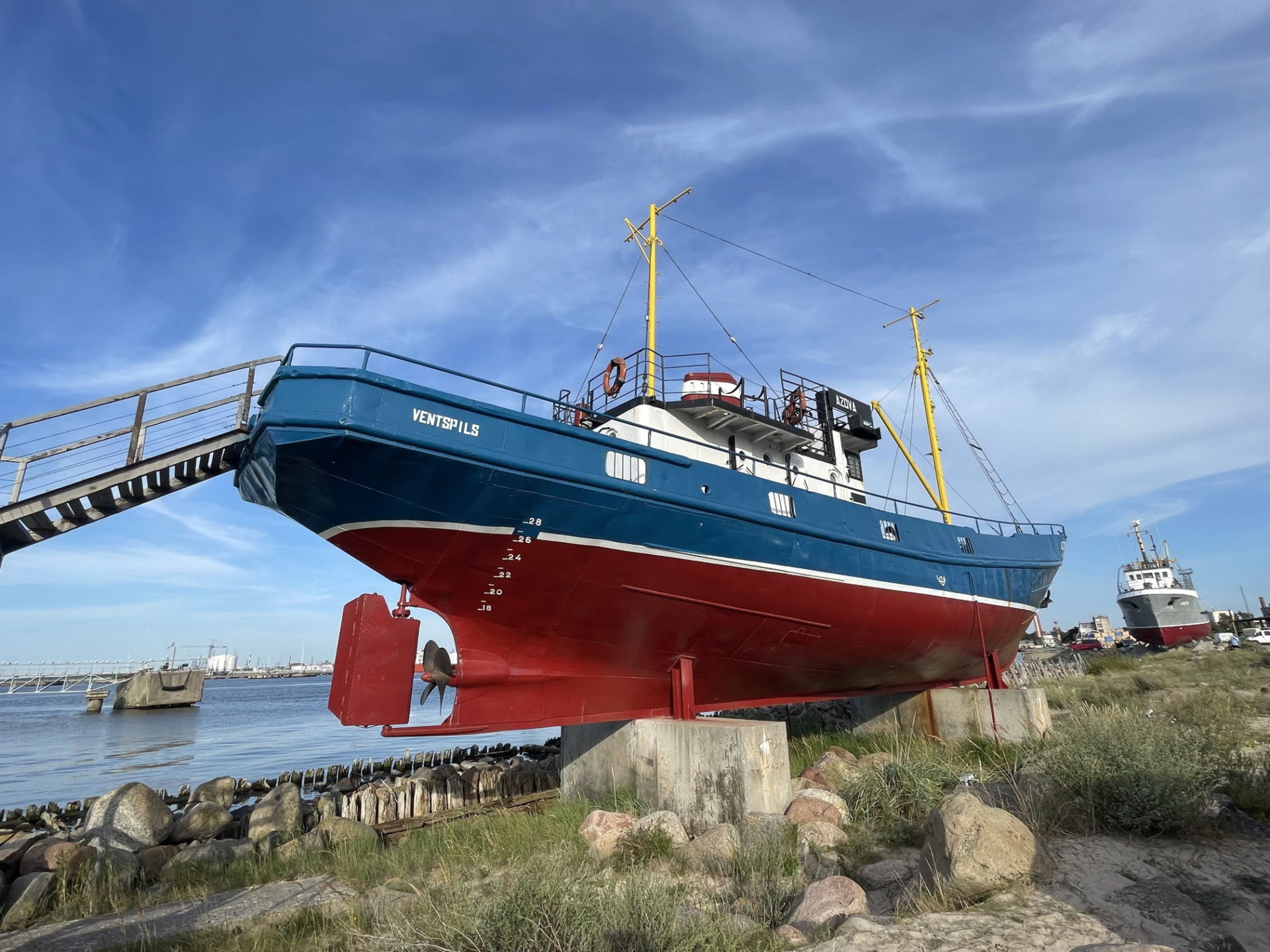
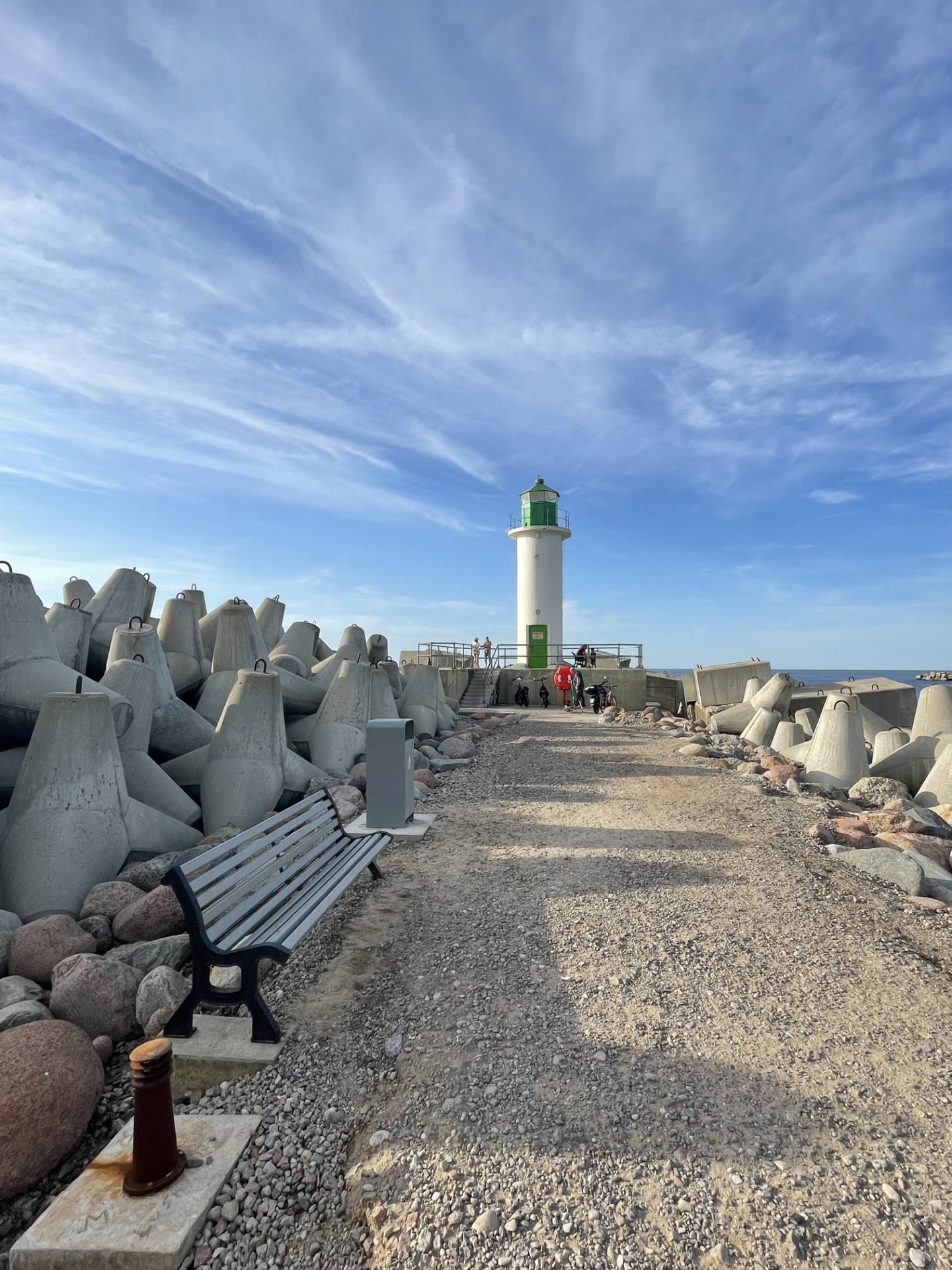
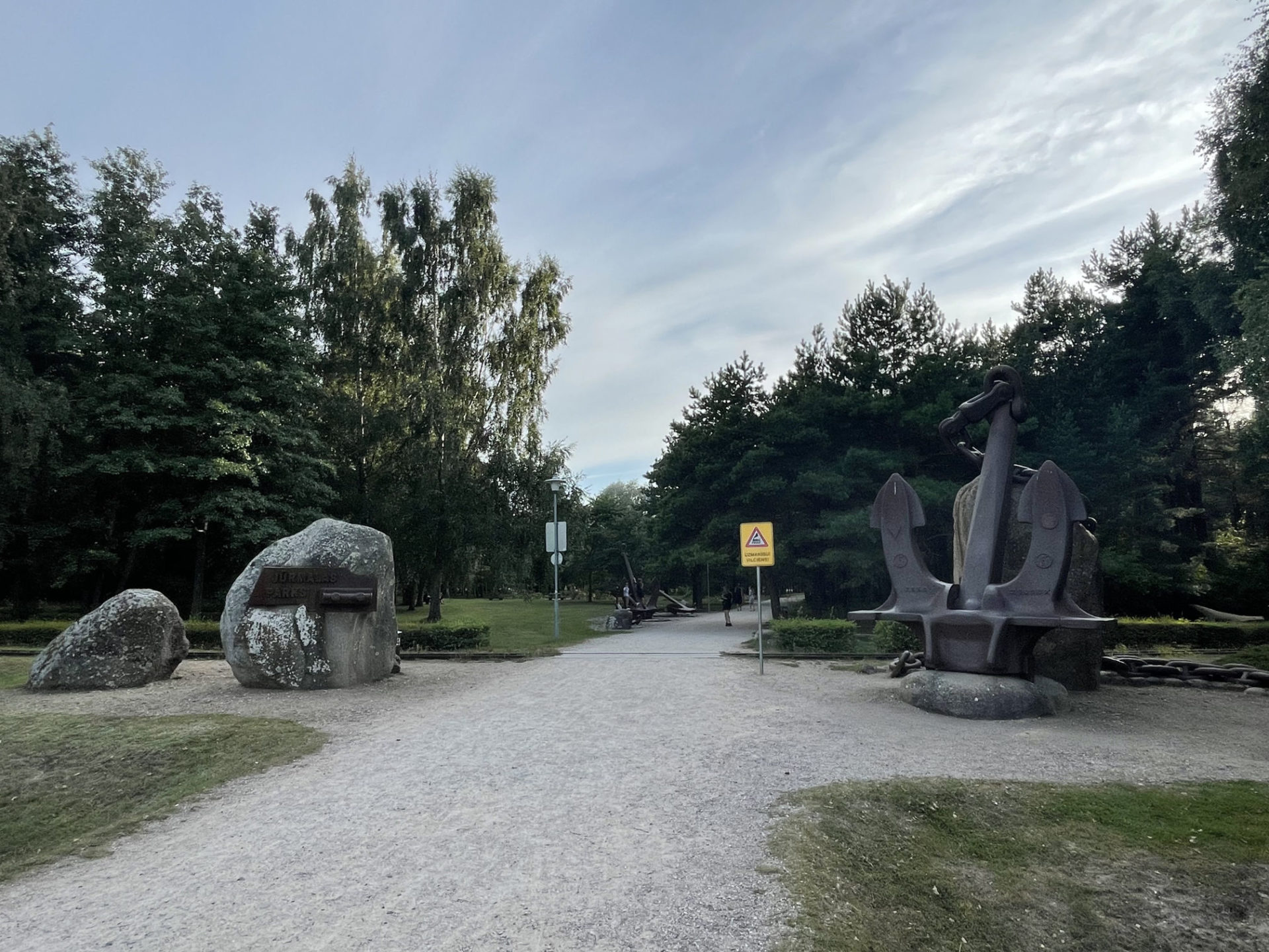
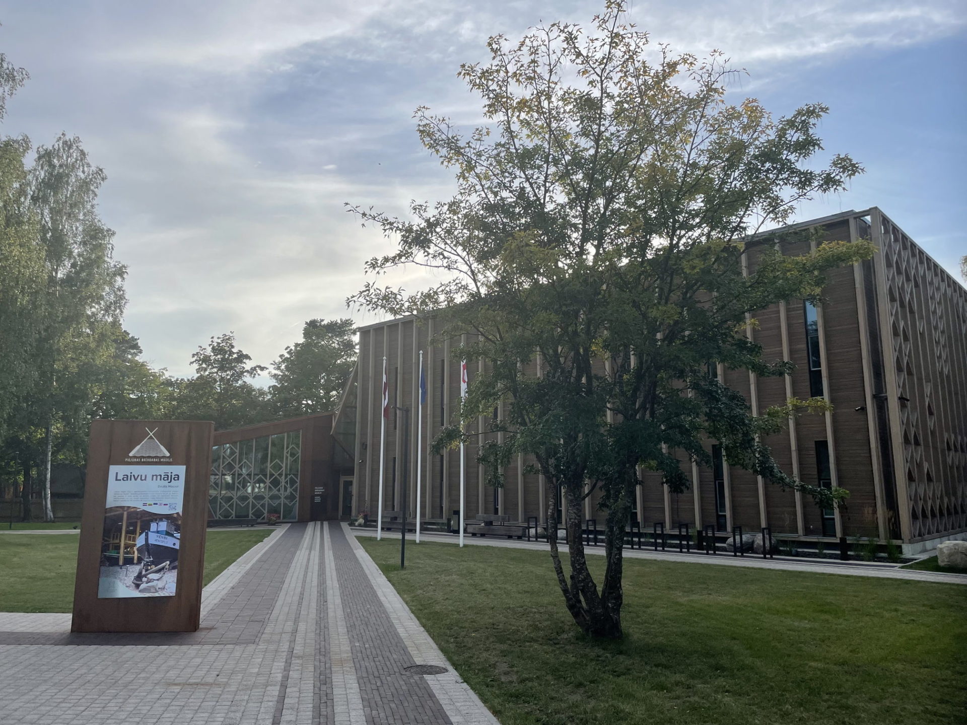
Main objects of interest on the route: Cow – Traveller, Ostas Street promenade, Cow – Milky way, Flower sculpture – “Underwater world”, Stone cow, Fishing ship – Azov, Cow – Sailor, Southern pier, Cow sculpture – “Levitation of the owner over Kurzeme blue cow on the night of the summer solstice”, Ventspils Jūrmala Park and Anchor Trail, Seaside Open Air Museum, Evergreen Cow, Children’s Town with flower sculpture – “Duck Family” and wheelchair swings, Cow – Life is beautiful.
More routes in Ventspils can be found here: visitventspils.com/app/uploads/2023/05/eng_ventspils_pastaigu_karte.pdf
You can also get the paper version of the map at the Ventspils Tourism Info Centre.
Accessibility
Facilities
Rules to follow
Download the GPX of the trail
In order to open the GPX file with the trail route on a mobile phone or computer, please install one of the hiking apps or maps, e.g., Wikiloc, Outdooractive, ViewRanger, OS Maps or any other GPX file reading programme or application.
15 Photos
