Ventspils City Centre Access Route
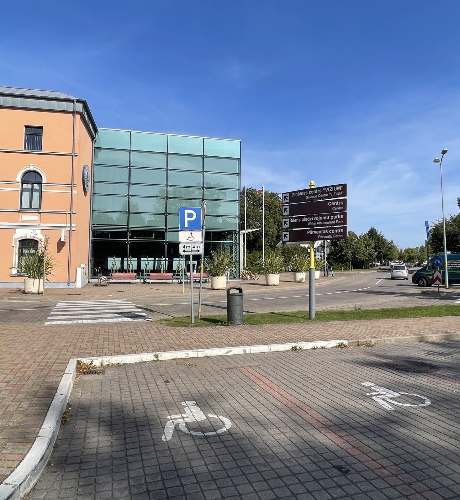
Route, Accessible, Accessible to parents with baby-strollers, Accessible toilet, Parking lot for handicaps
Object list
Watch the route video:
Description:
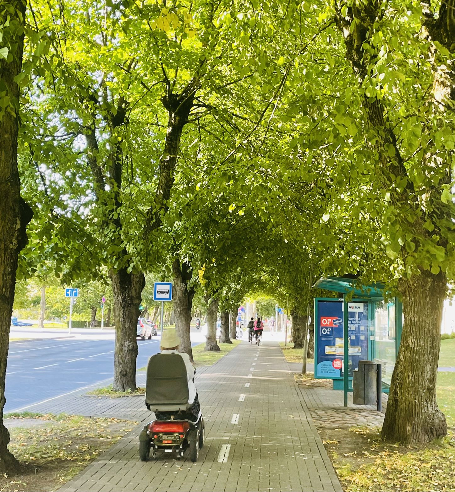
Accessible city walking route
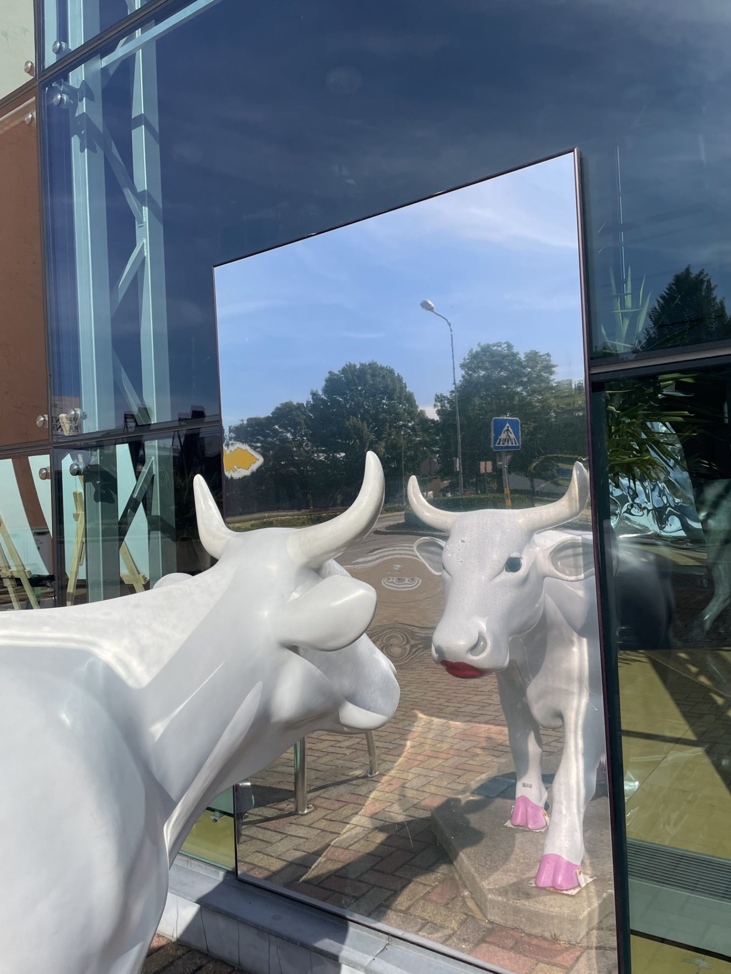
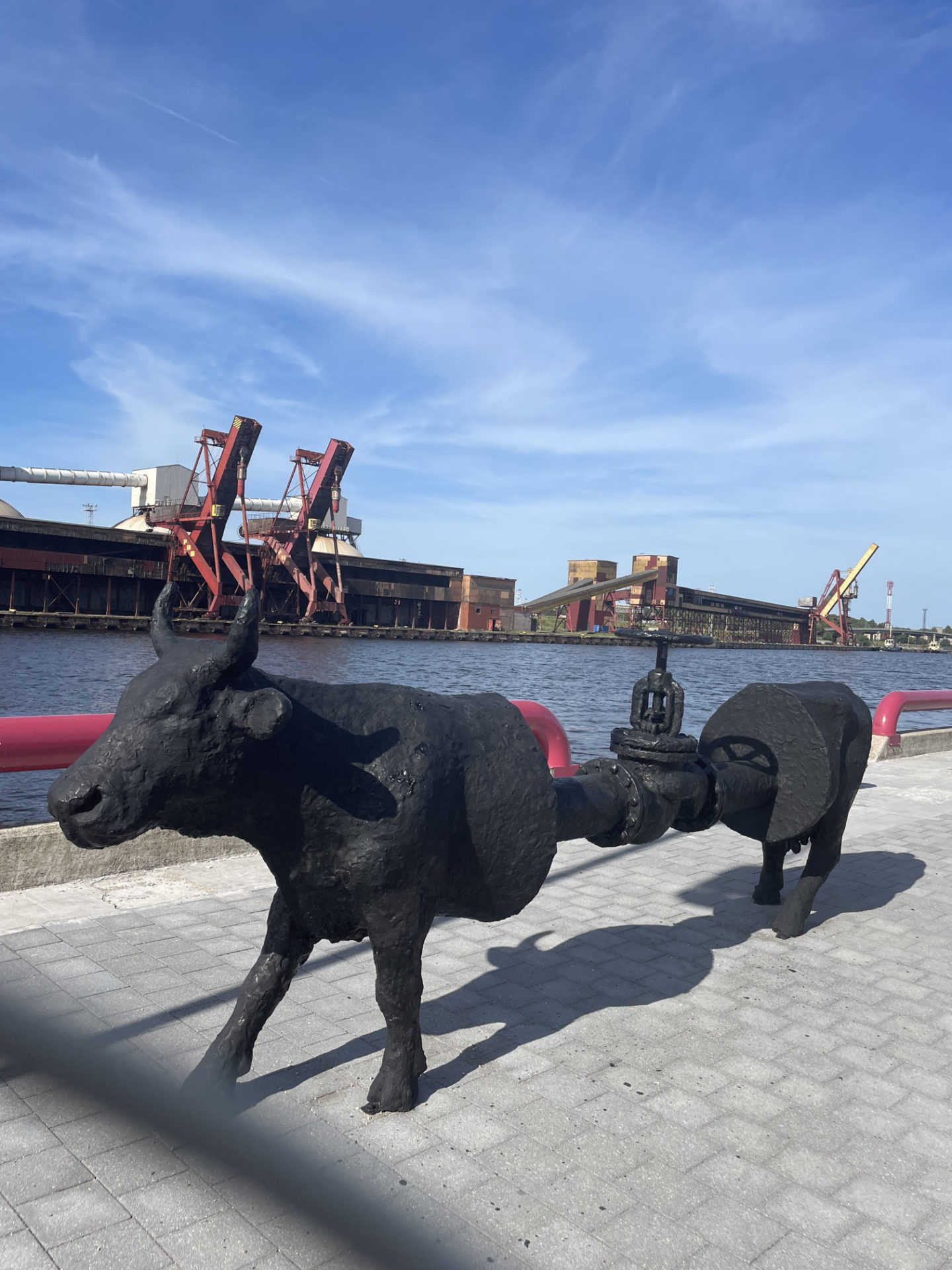
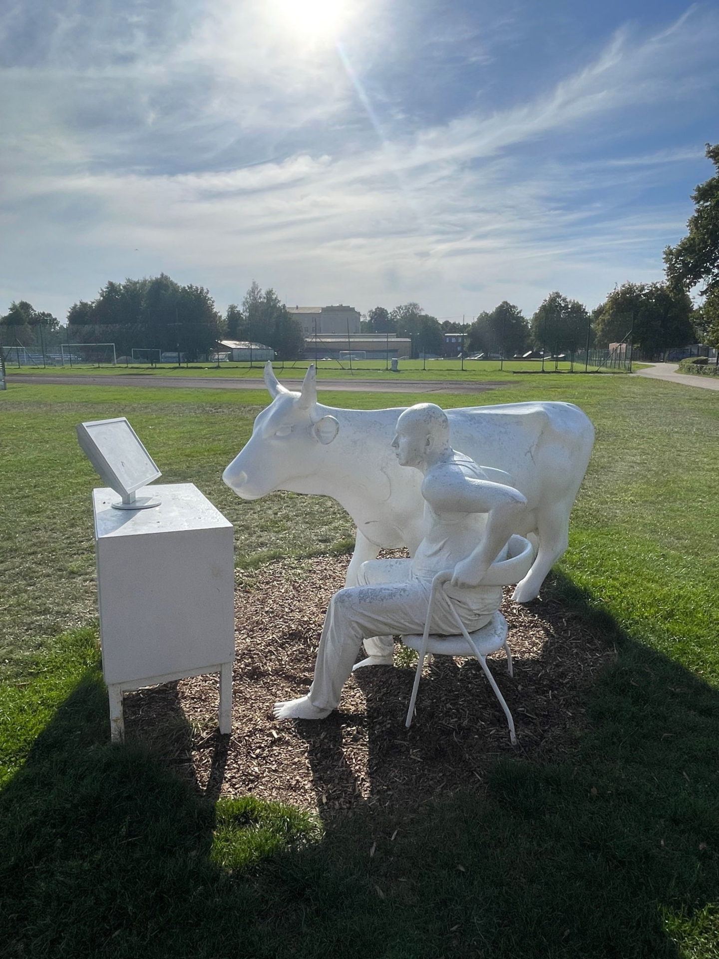
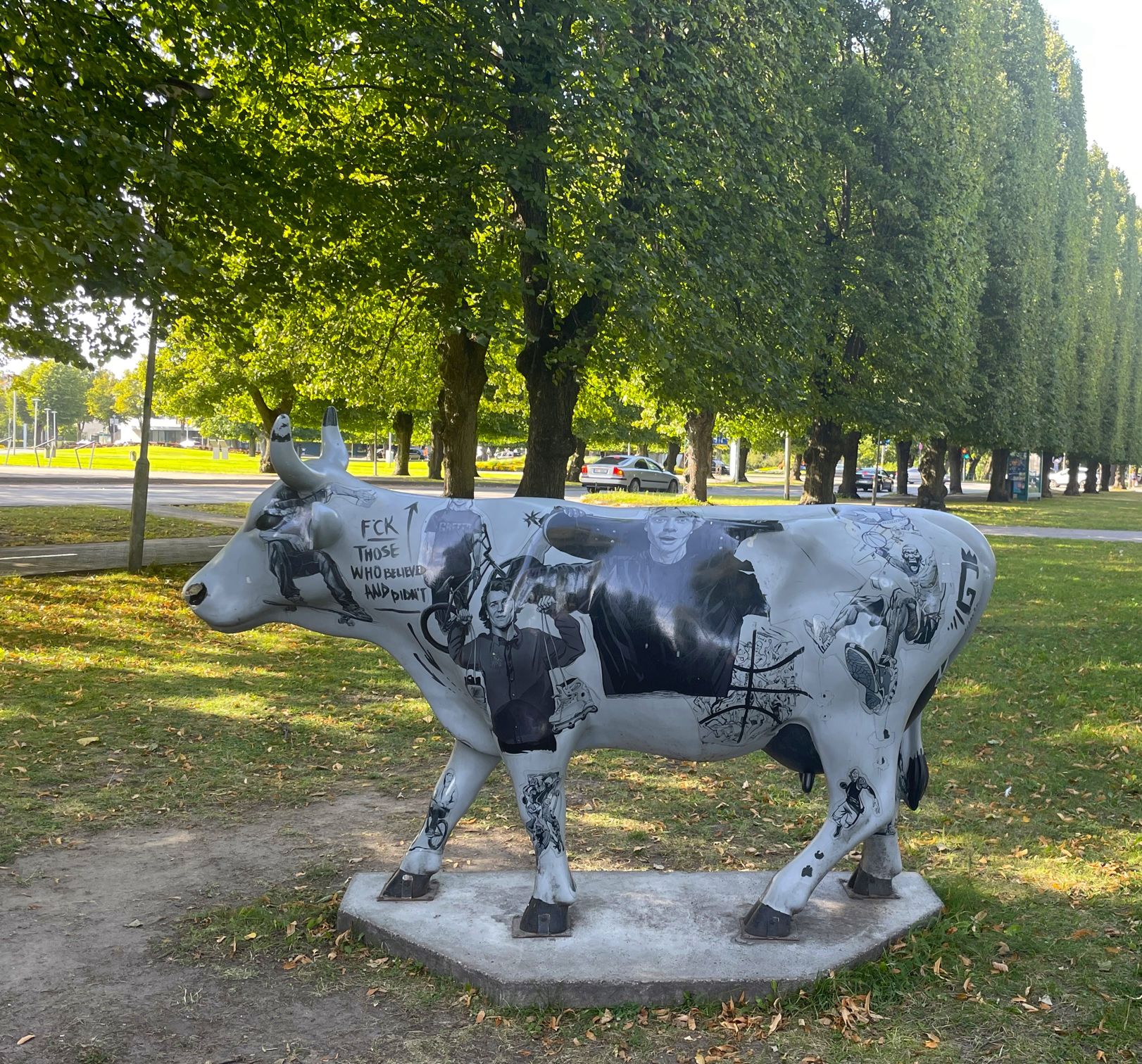
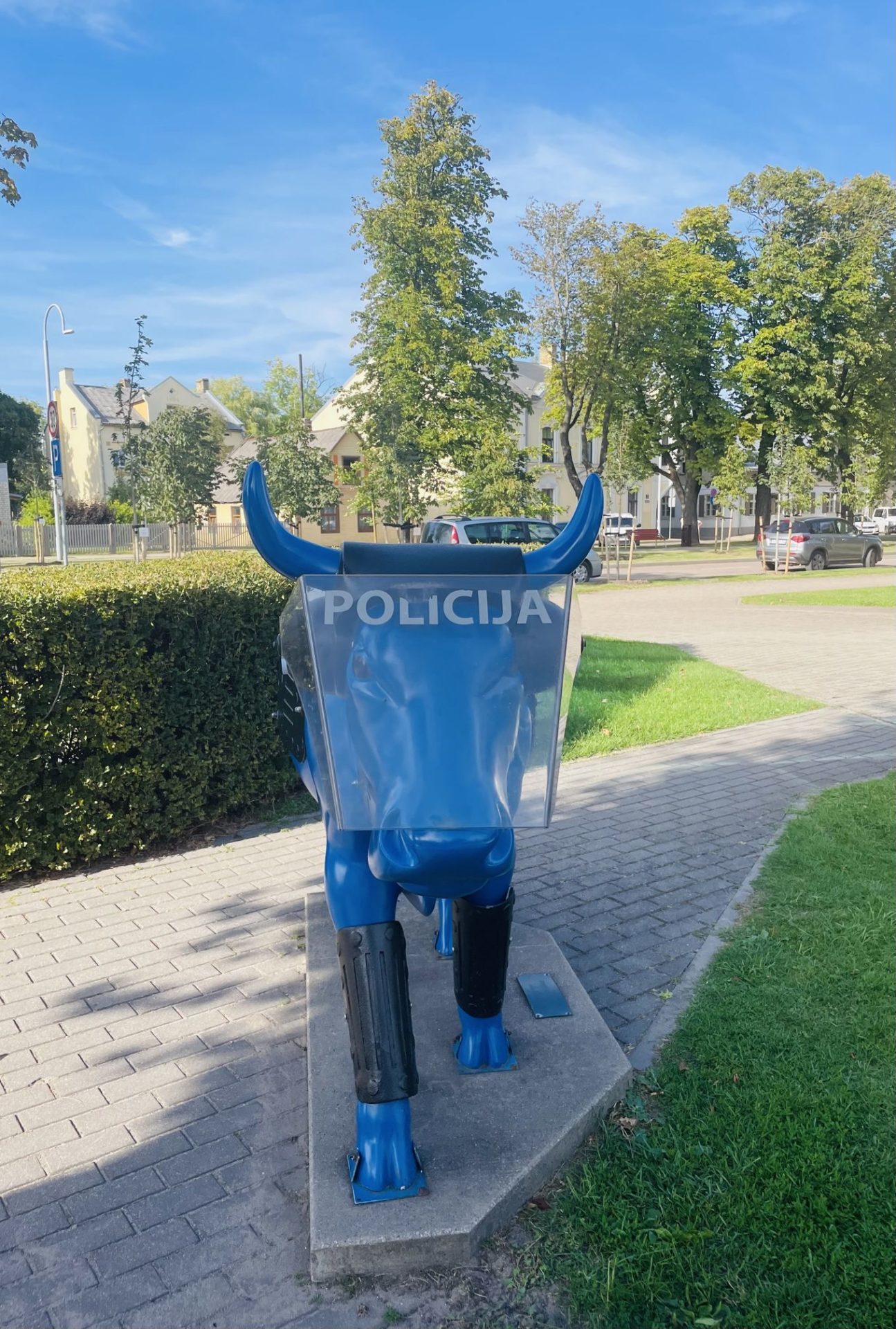
The route shows the key touristic attractions in the centre of Ventspils and allows you to get to know the central part of the city. It’s gonna be a very pleasant 4km walk, accessible for all. The route is drawn with a key theme of COWS😊 And why cows? Yes, why there are so many cow statues in Ventspils? Starting with 2002, few art projects named “Cow parades” have been held in the city. And now about 30 cow sculptures of different size, color and look, created by Latvian and foreign artists, can be found in the streets, squares and parks of Ventspils. So go ahead and find some!
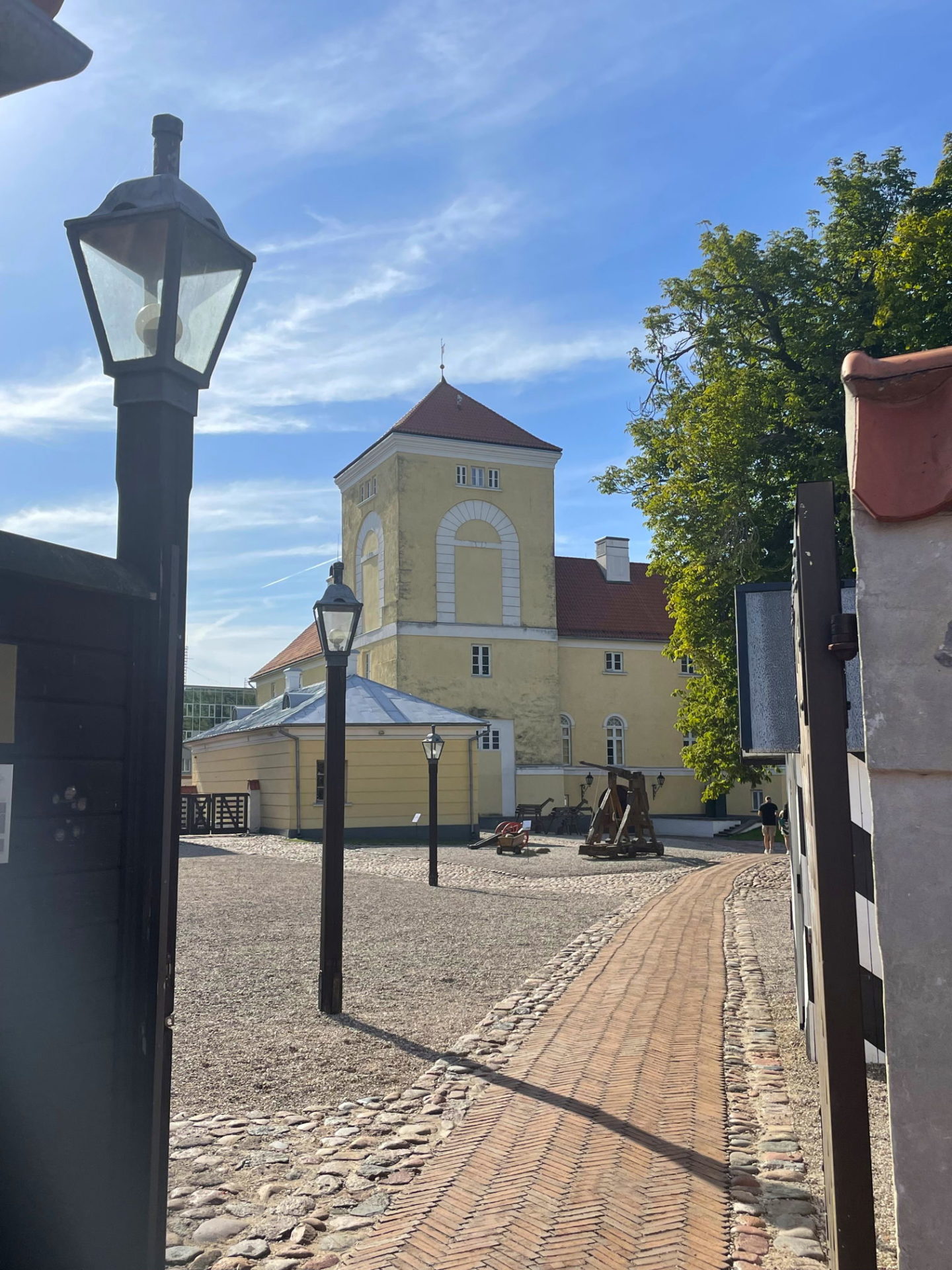
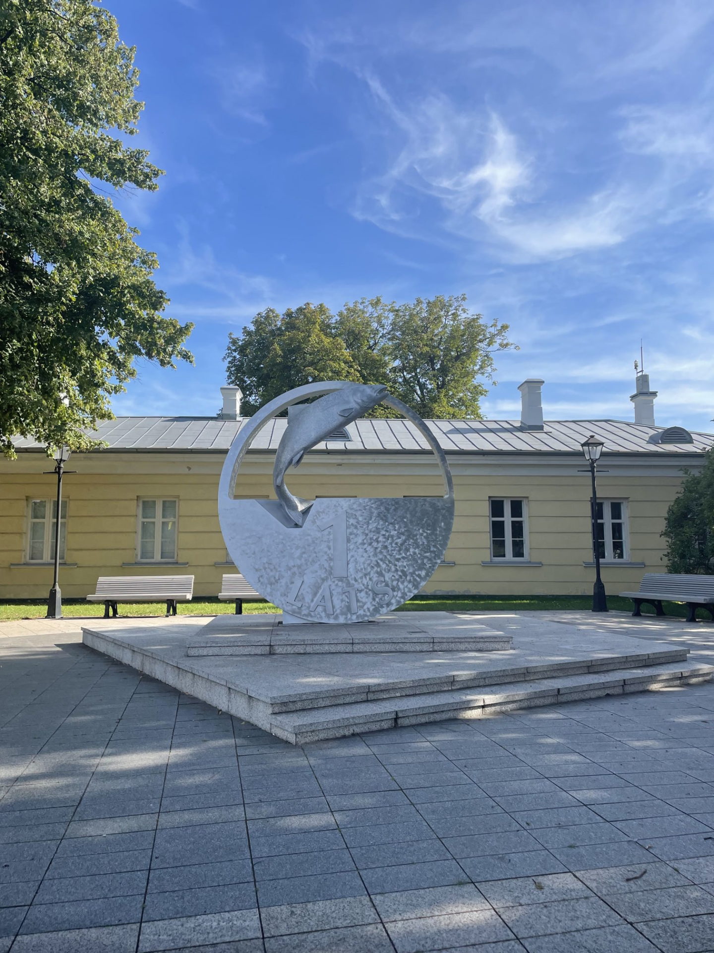
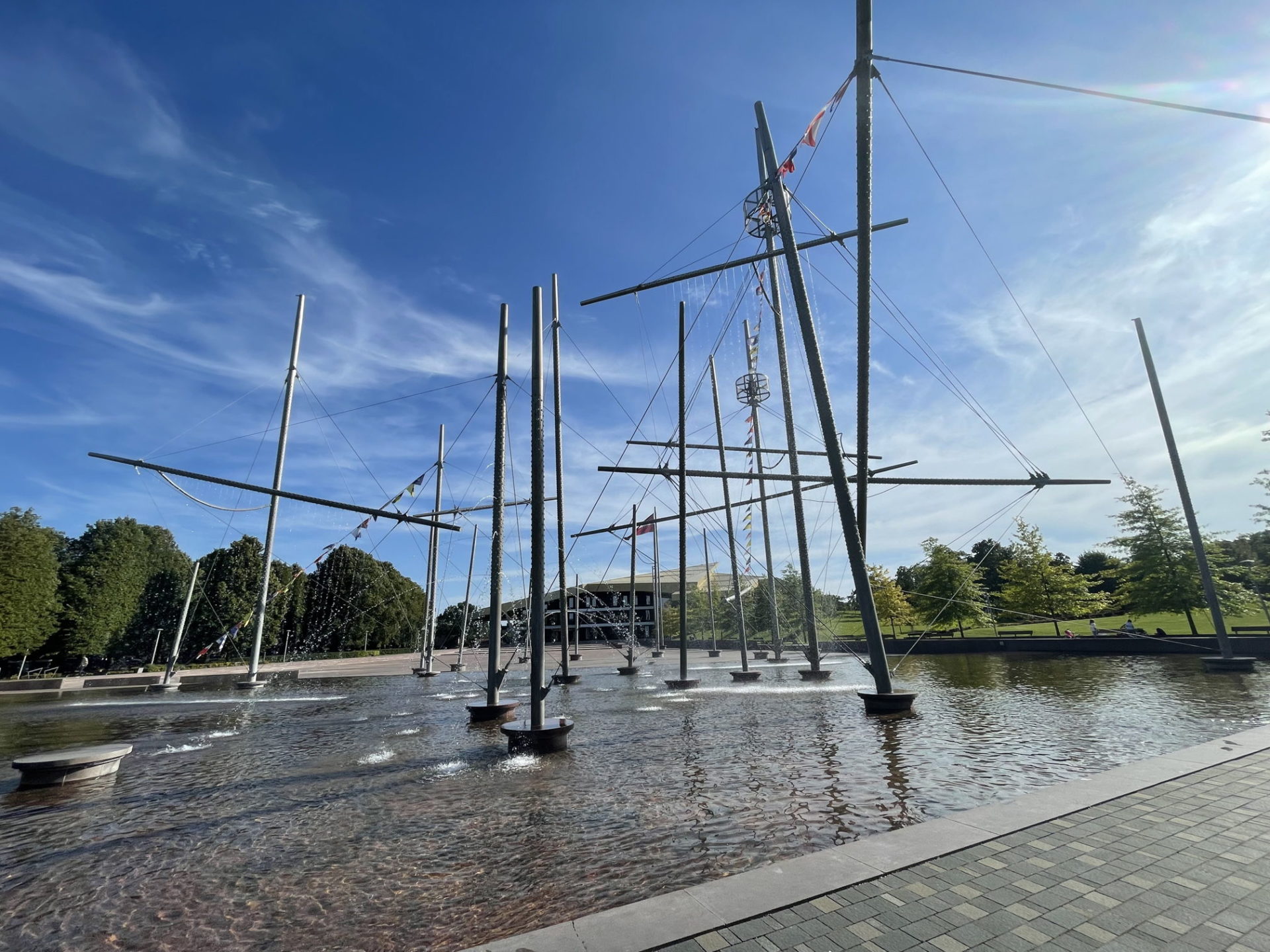
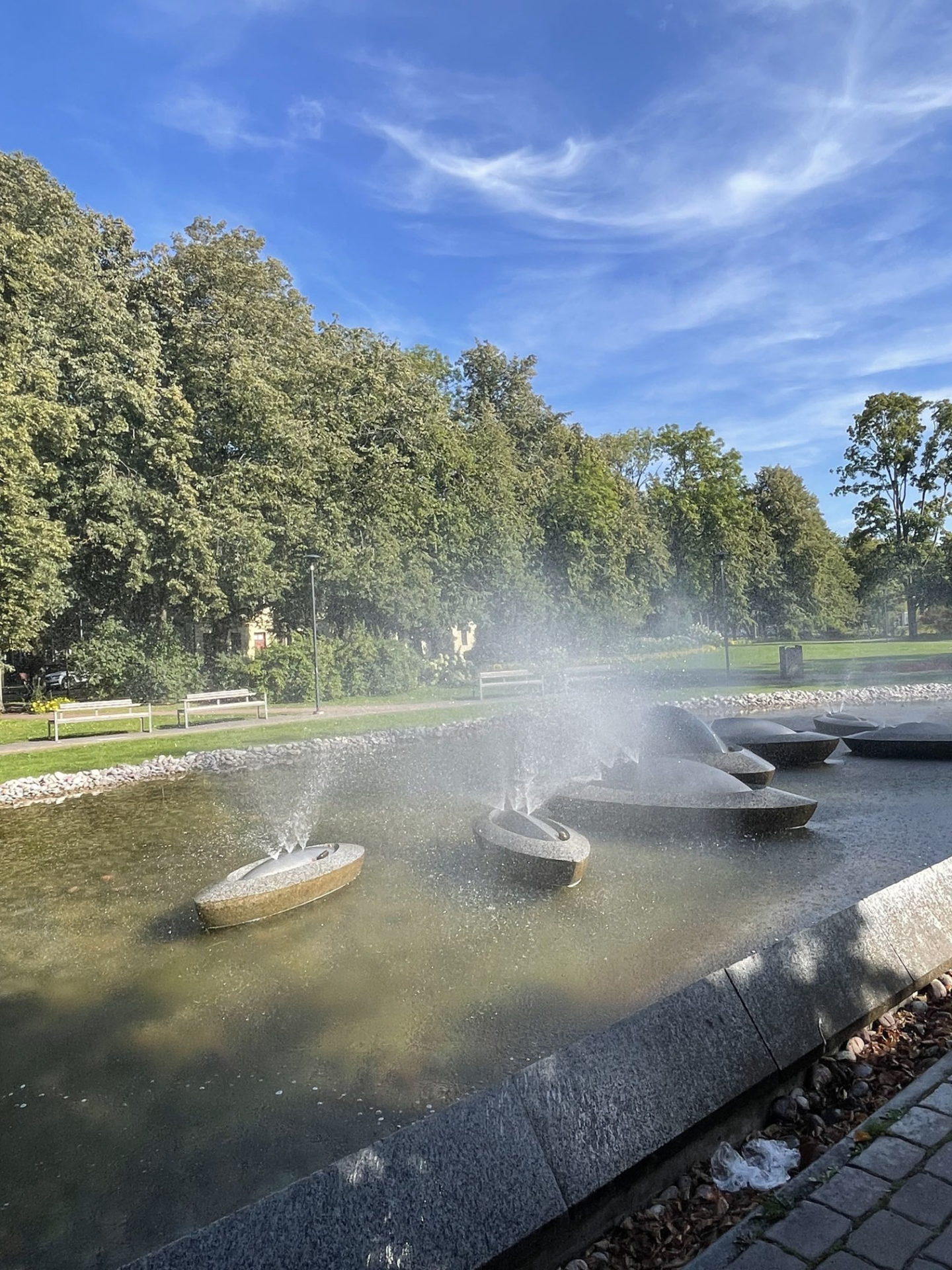
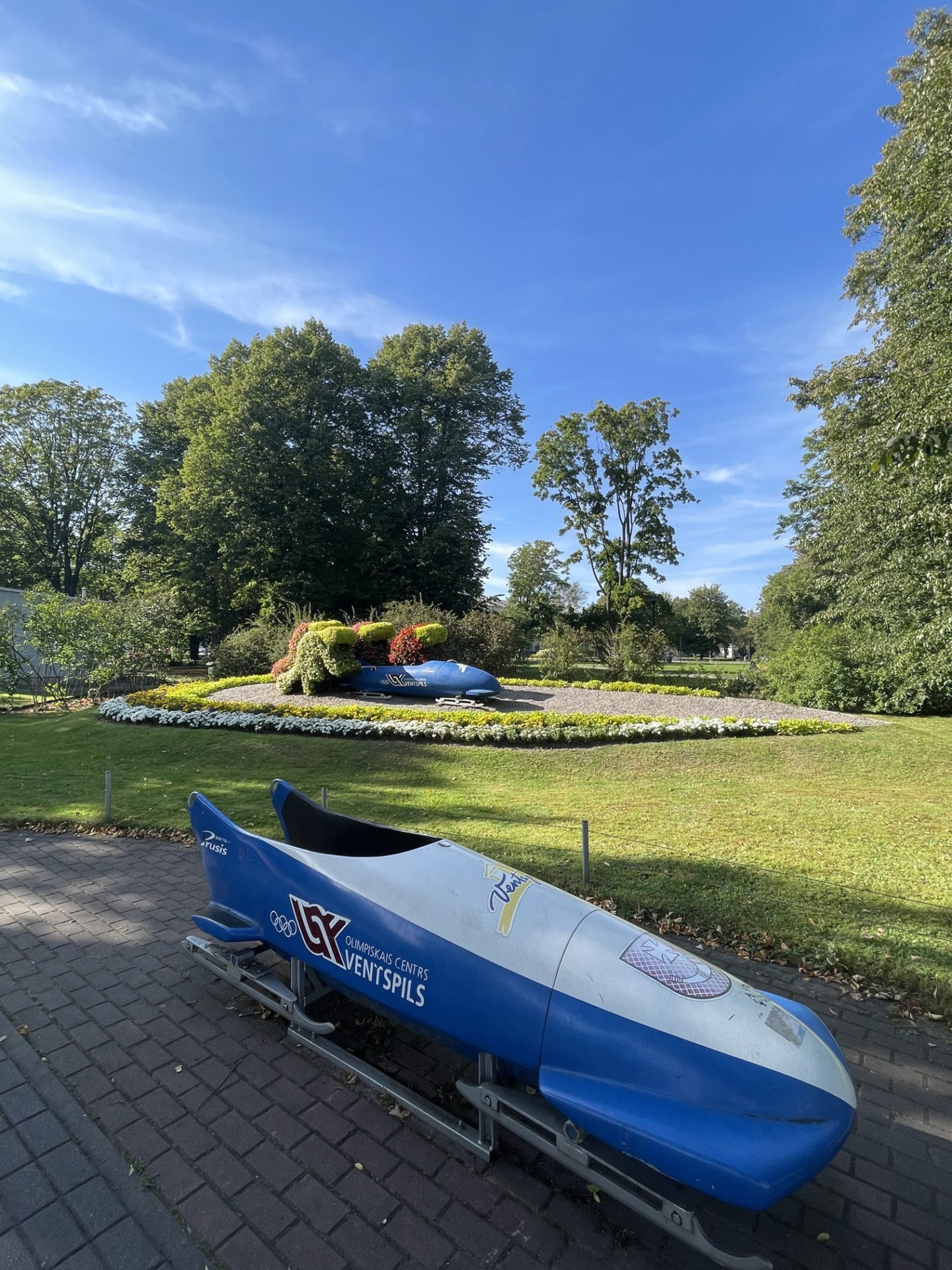
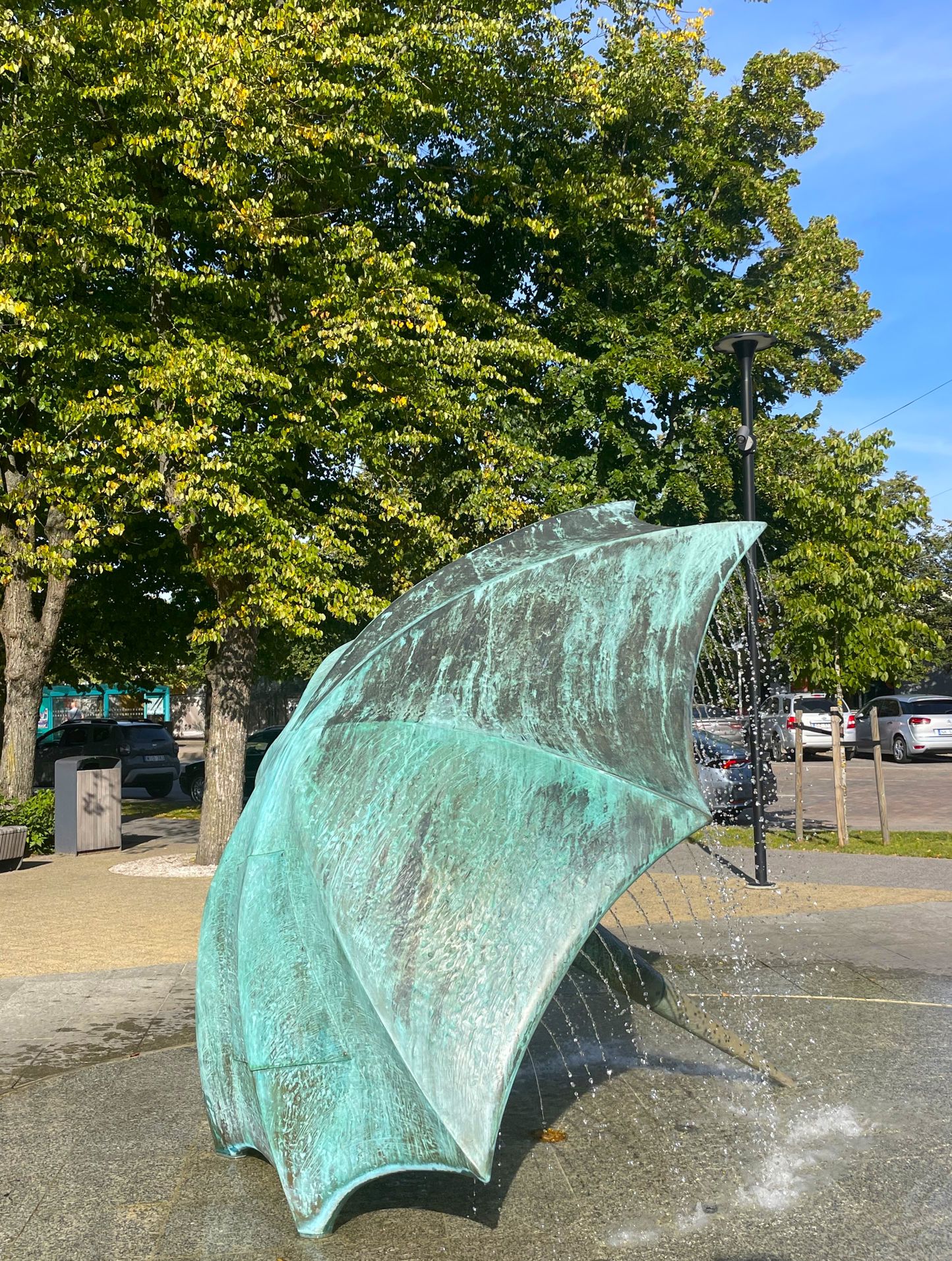
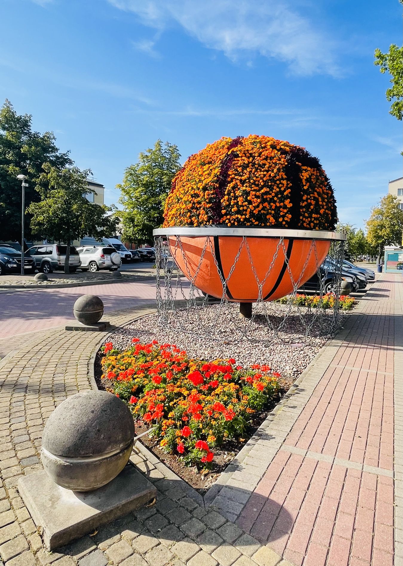
Main objects of interest on the route: Ventspils Tourist Information Center, Storm govs, Cow – By the mirror, souvenir market, Latvian Black Cow, fountain “Ship Watcher”, monument to Krišjānis Valdemārs, Ventspils Livonian Order Castle and Museum, Sea Cow, object “Lats” , fountain “Dzirnakmens”, object “Cranberry Eater”, fountain “Rainguard”, fountain “Sunboats”, flower sculpture “Bobsleigh team”, concert hall “Latvija” and fountain “Fregate Whalefish”, Flower clock, Ghetto cow, skate park, Cow – No chance, flower sculpture – Basketball, cow – There must be order!:)
More routes in Ventspils can be found here: visitventspils.com/app/uploads/2023/05/eng_ventspils_pastaigu_karte.pdf You can also get the paper version of the map at the starting point of the route – Ventspils Tourism Info Centre.
Accessibility
Facilities
Rules to follow
Download the GPX of the trail
In order to open the GPX file with the trail route on a mobile phone or computer, please install one of the hiking apps or maps, e.g., Wikiloc, Outdooractive, ViewRanger, OS Maps or any other GPX file reading programme or application.
14 Photos
