Taevaskoja Trail
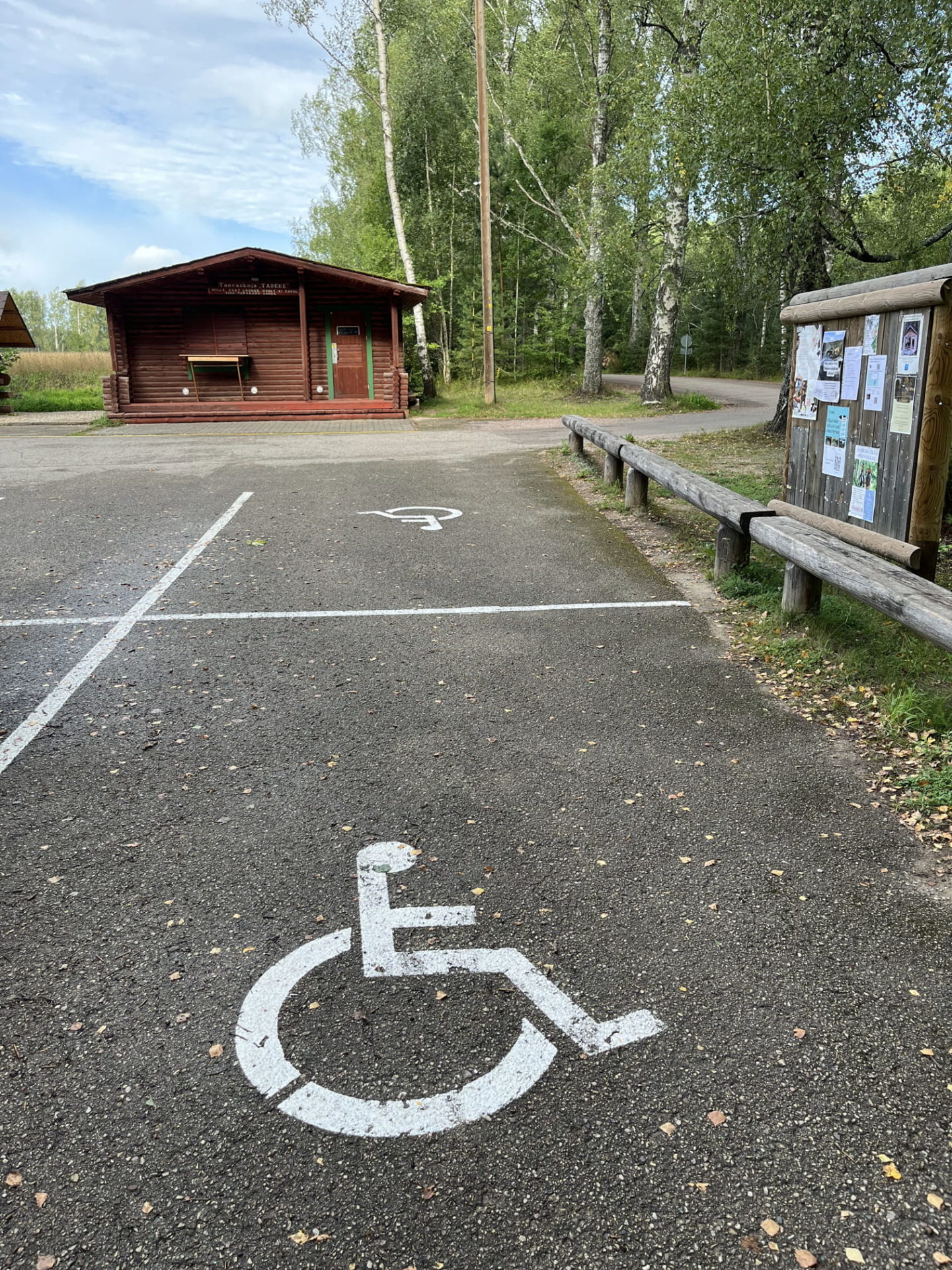
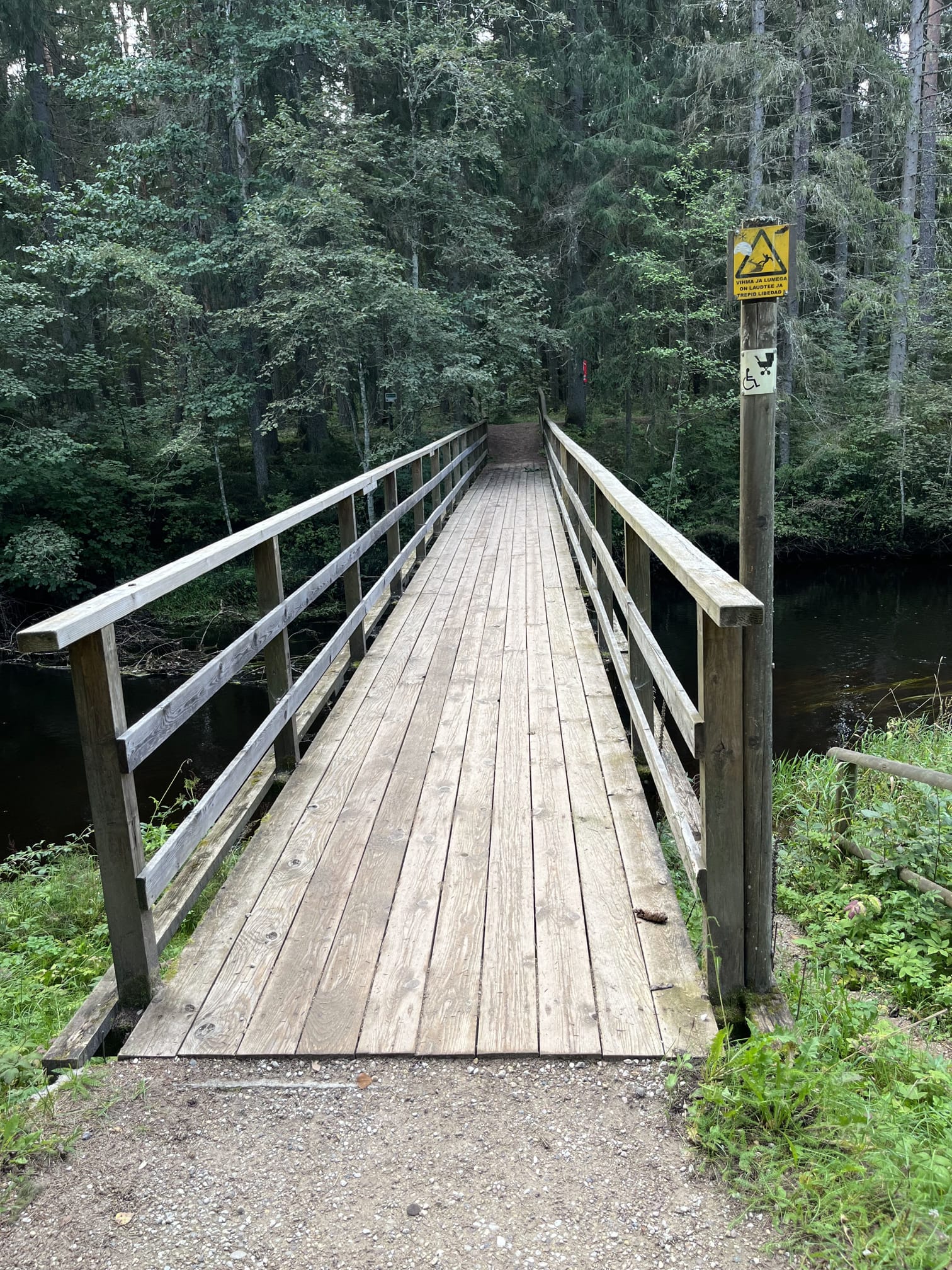
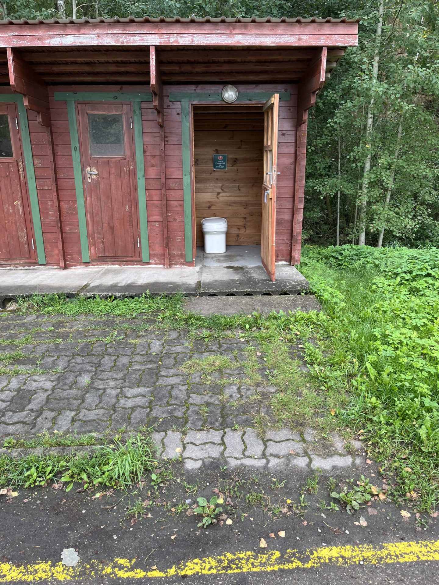
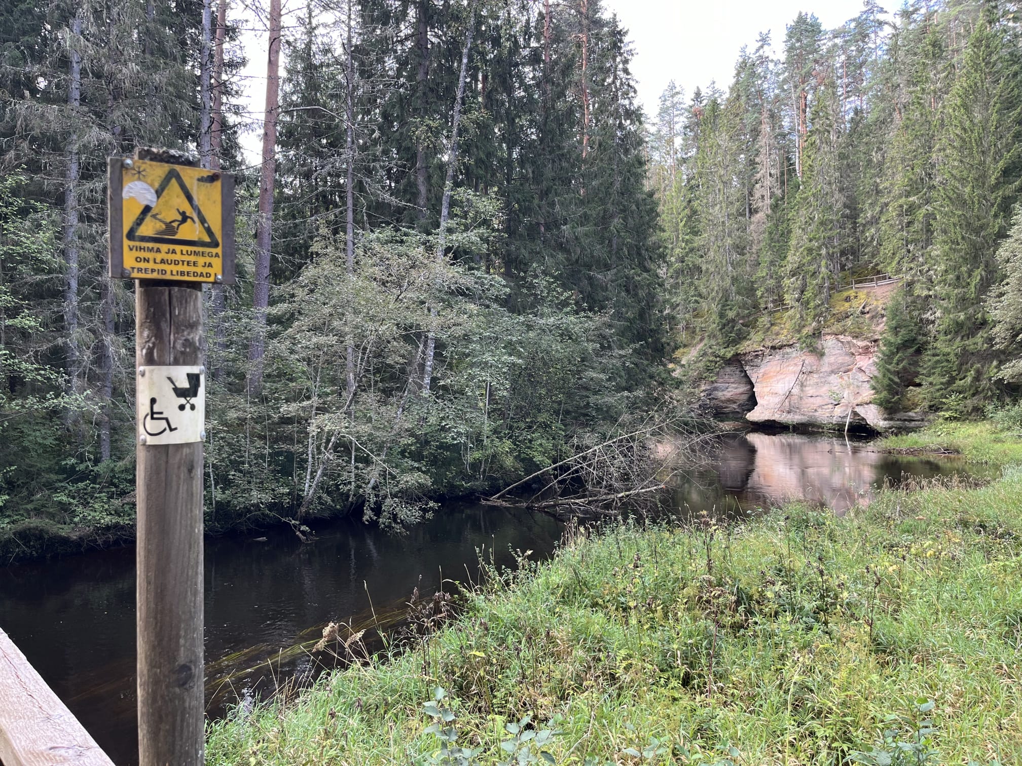
Nature trails, Accessible to parents with baby-strollers, Accessible toilet, Partly accessible
Object list
Description:
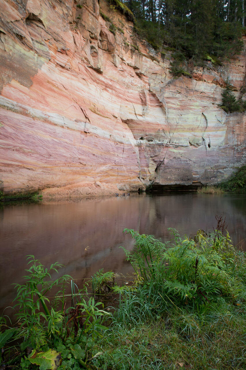
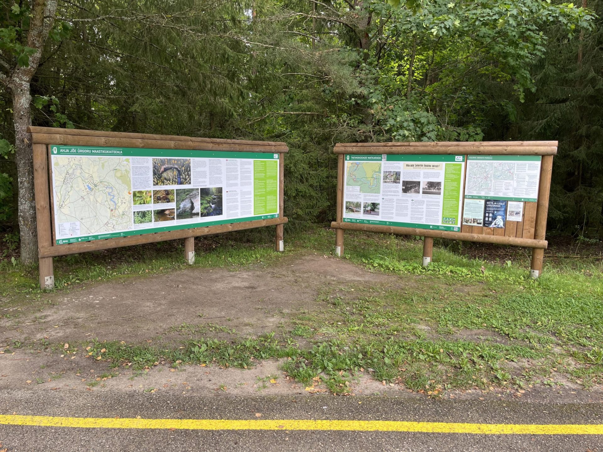
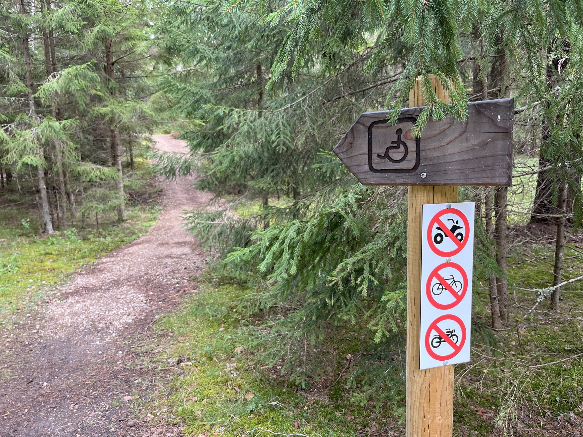
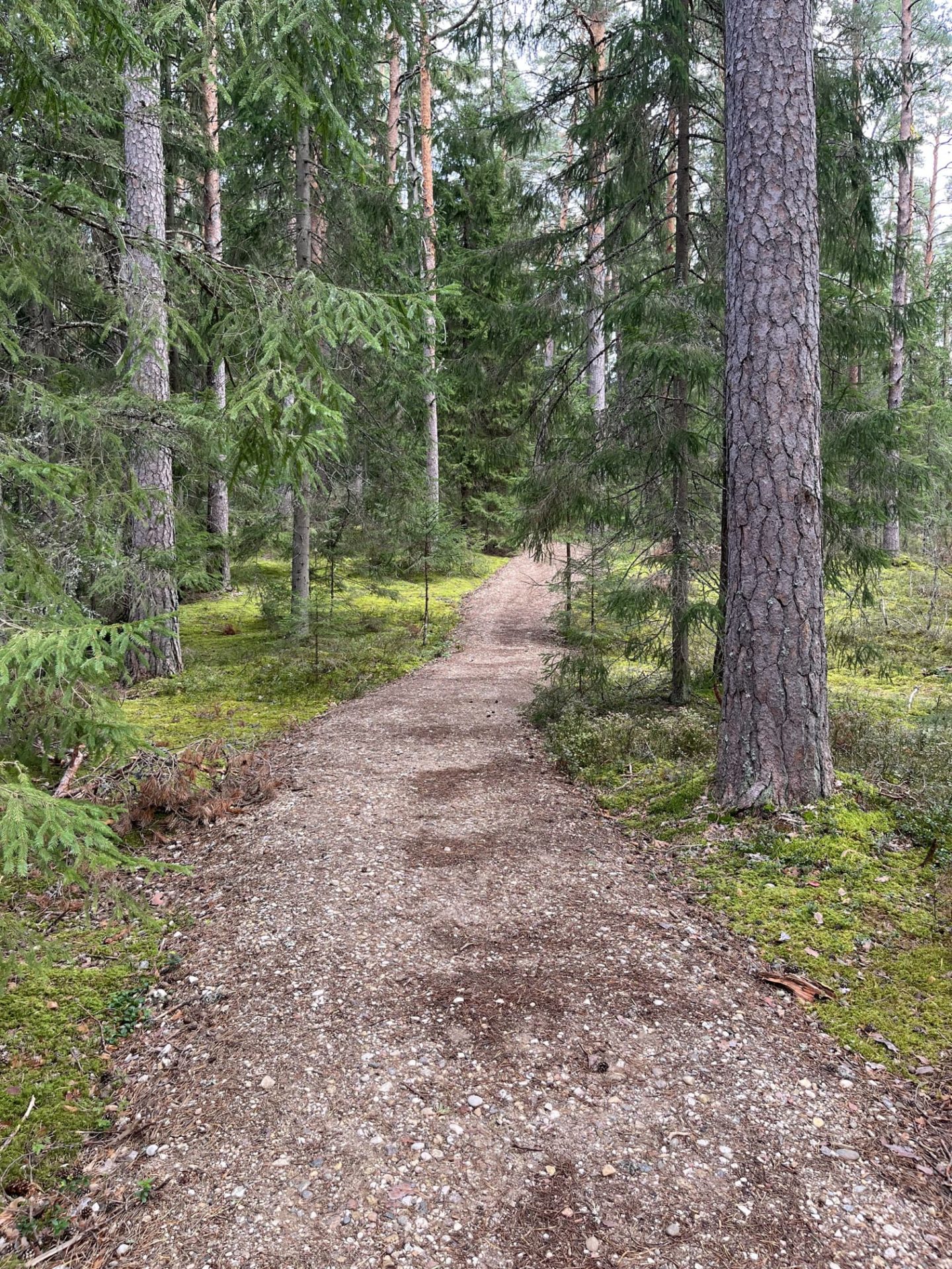
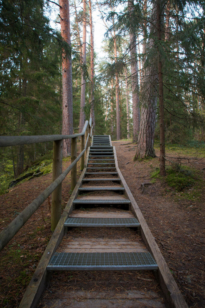
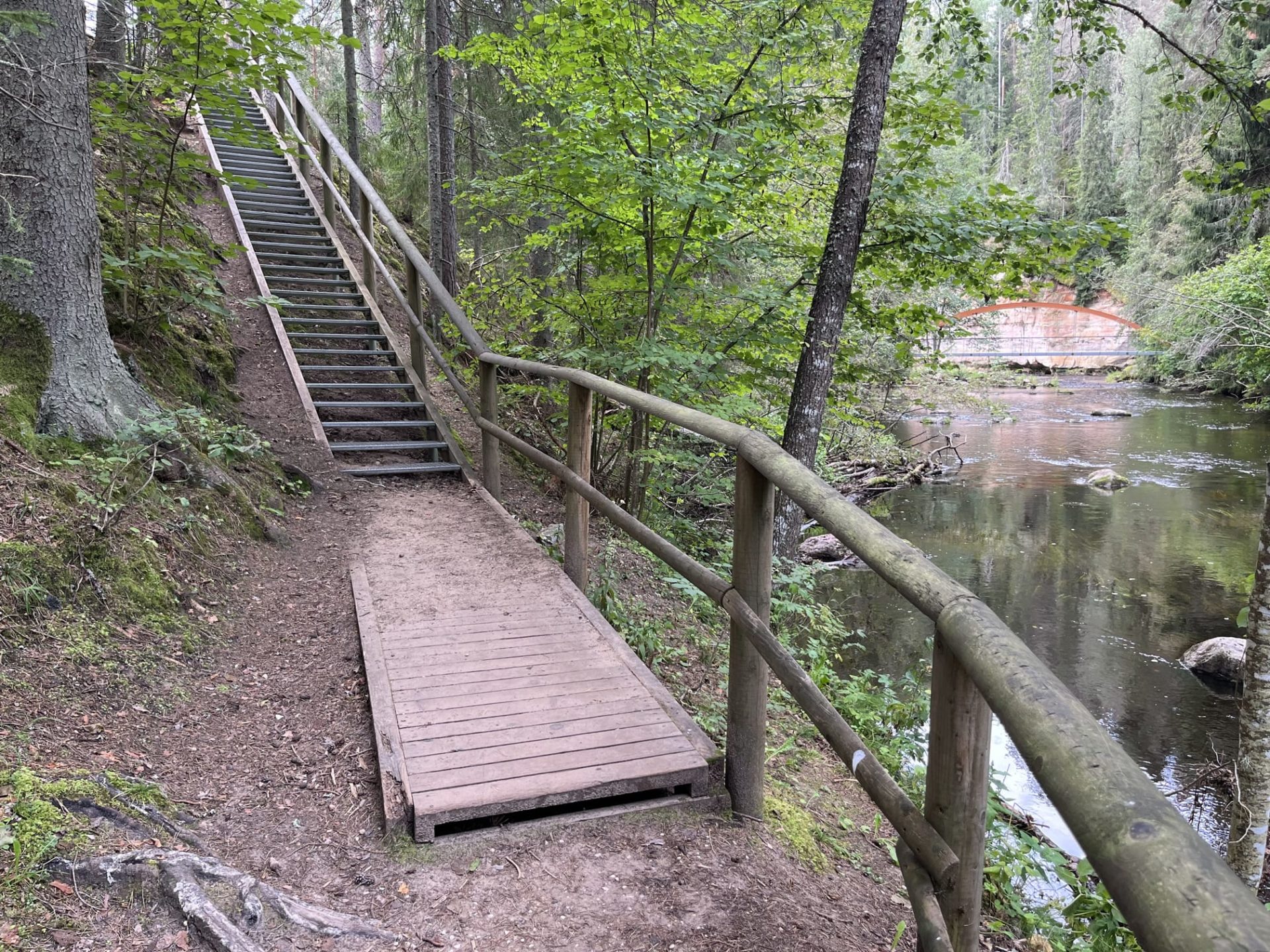
This 3 km marked circular hiking trail leads travelers to picturesque outcrops and ancient views shaped by natural forces, as well as into the world of legends, myths, and films. The trail is only for walking; part of it is also suitable for people with mobility impairments, and wheelchair access is now available to Suur Taevaskoda (follow the corresponding signs). There is one accessible toilet in the parking area. It is now possible to reach Suur Taevaskoda with a wheelchair or stroller via gravel paths; follow the signs. Since the path has inclines and declines, wheelchair users might need an assistant.
Guided tours are offered for groups by prior arrangement at phone number 676 7122 or info.kiidjarve@rmk.ee.
The nearest camping and campfire site is about 1 km away from Suure Taevaskoja, located at the Otteni campfire site, accessible by foot.
Accessibility
Facilities
Rules to follow
Download the GPX of the trail
In order to open the GPX file with the trail route on a mobile phone or computer, please install one of the hiking apps or maps, e.g., Wikiloc, Outdooractive, ViewRanger, OS Maps or any other GPX file reading programme or application.
10 Photos
