Meenikunno Trail
Nature trails, Accessible to parents with baby-strollers, Partly accessible
Object list
Description:
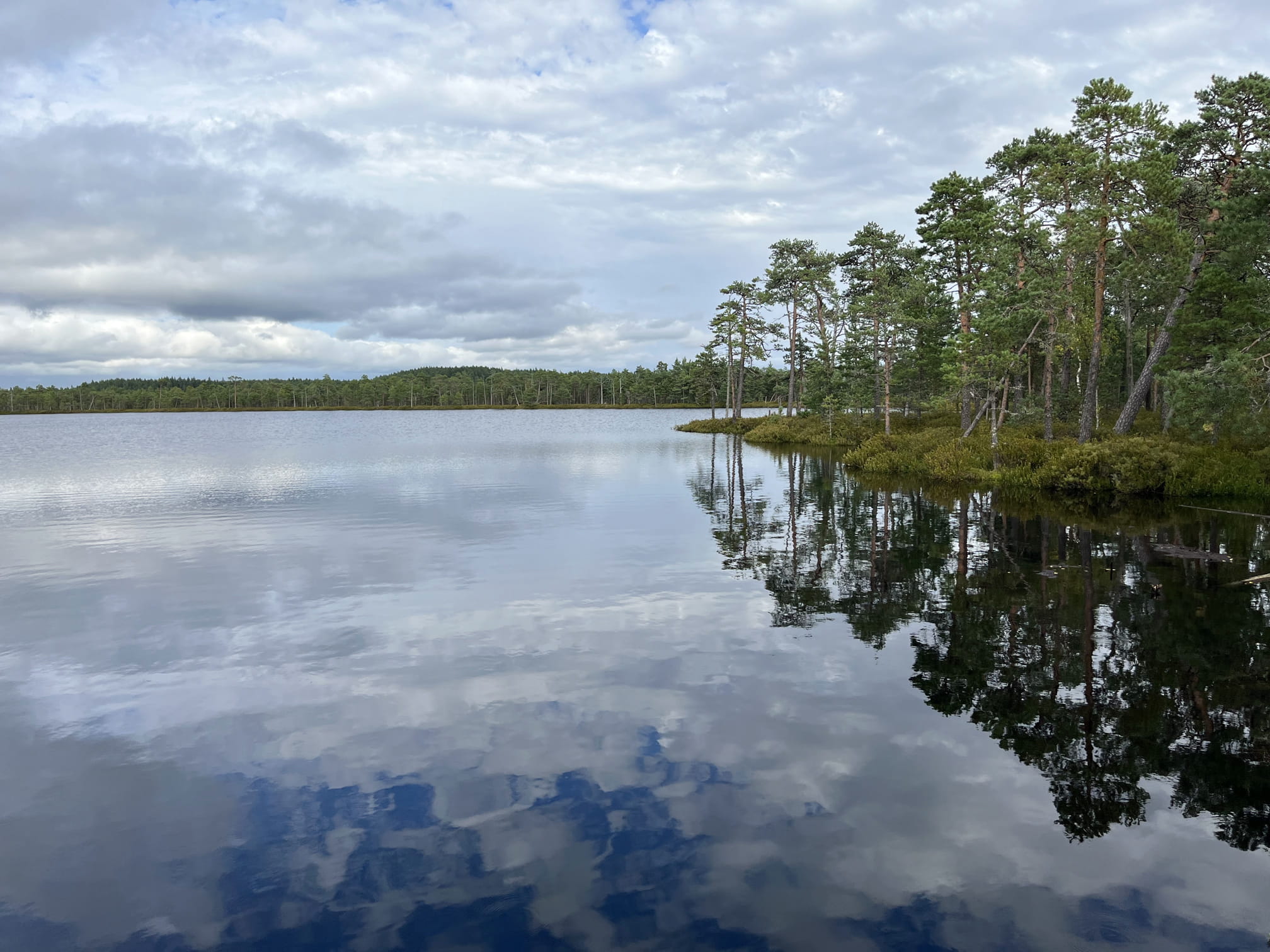
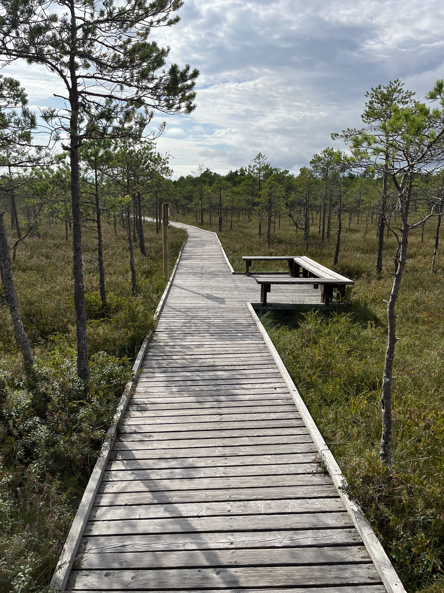
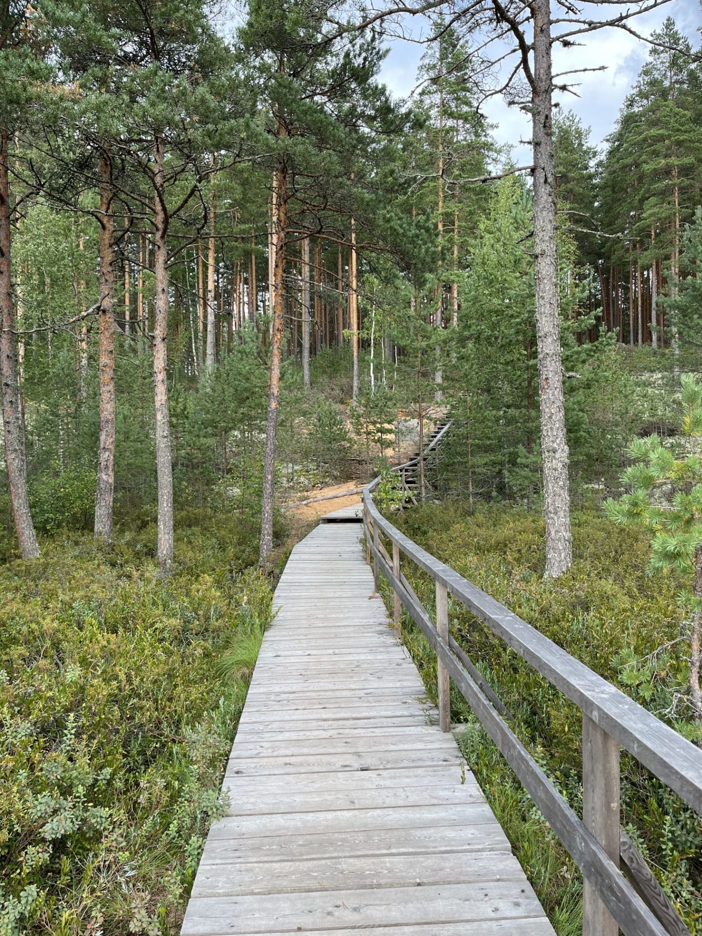
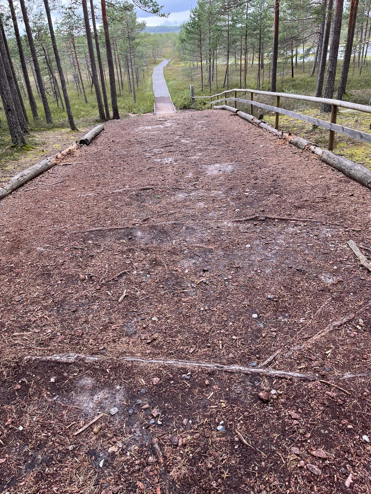
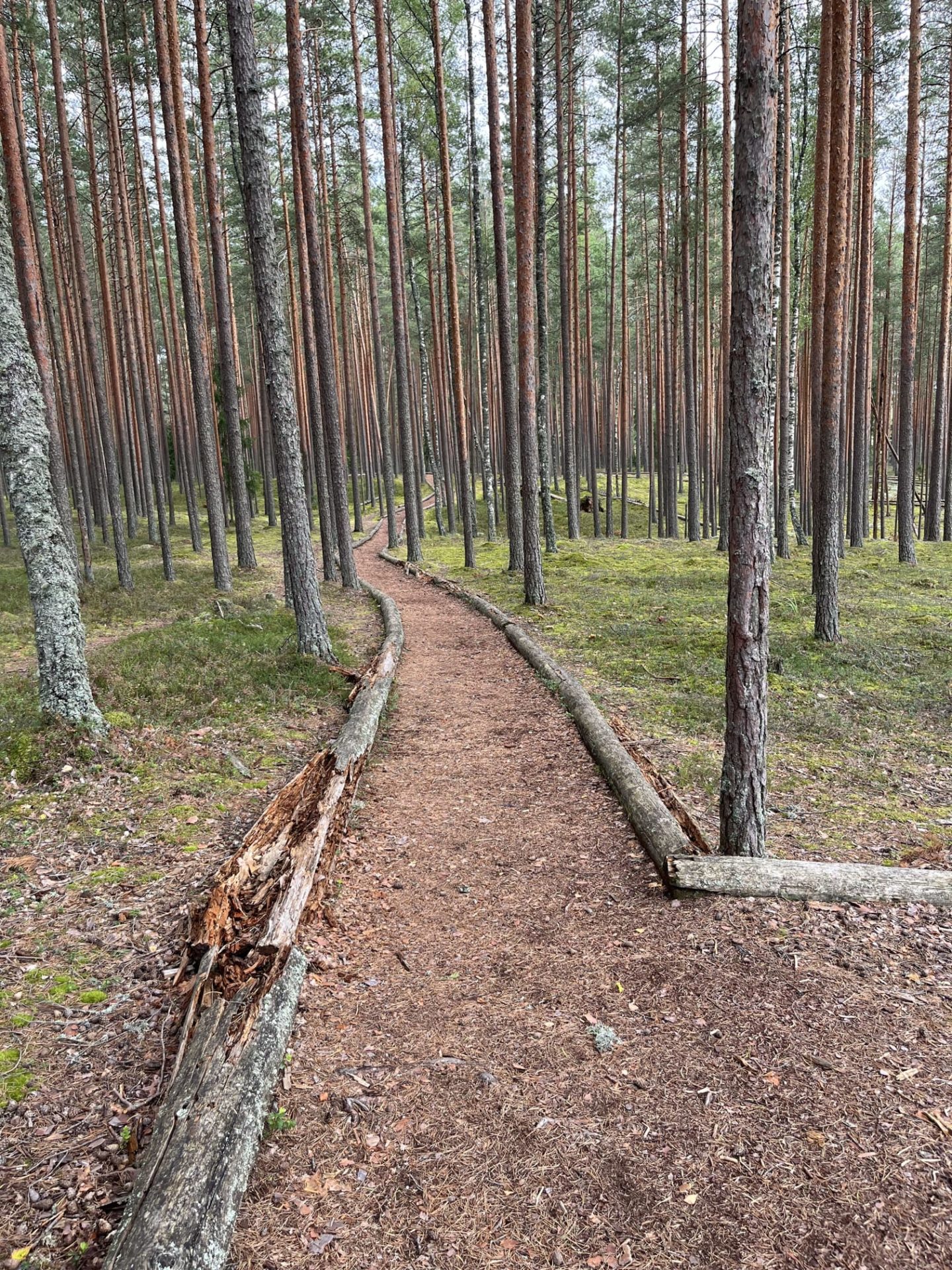
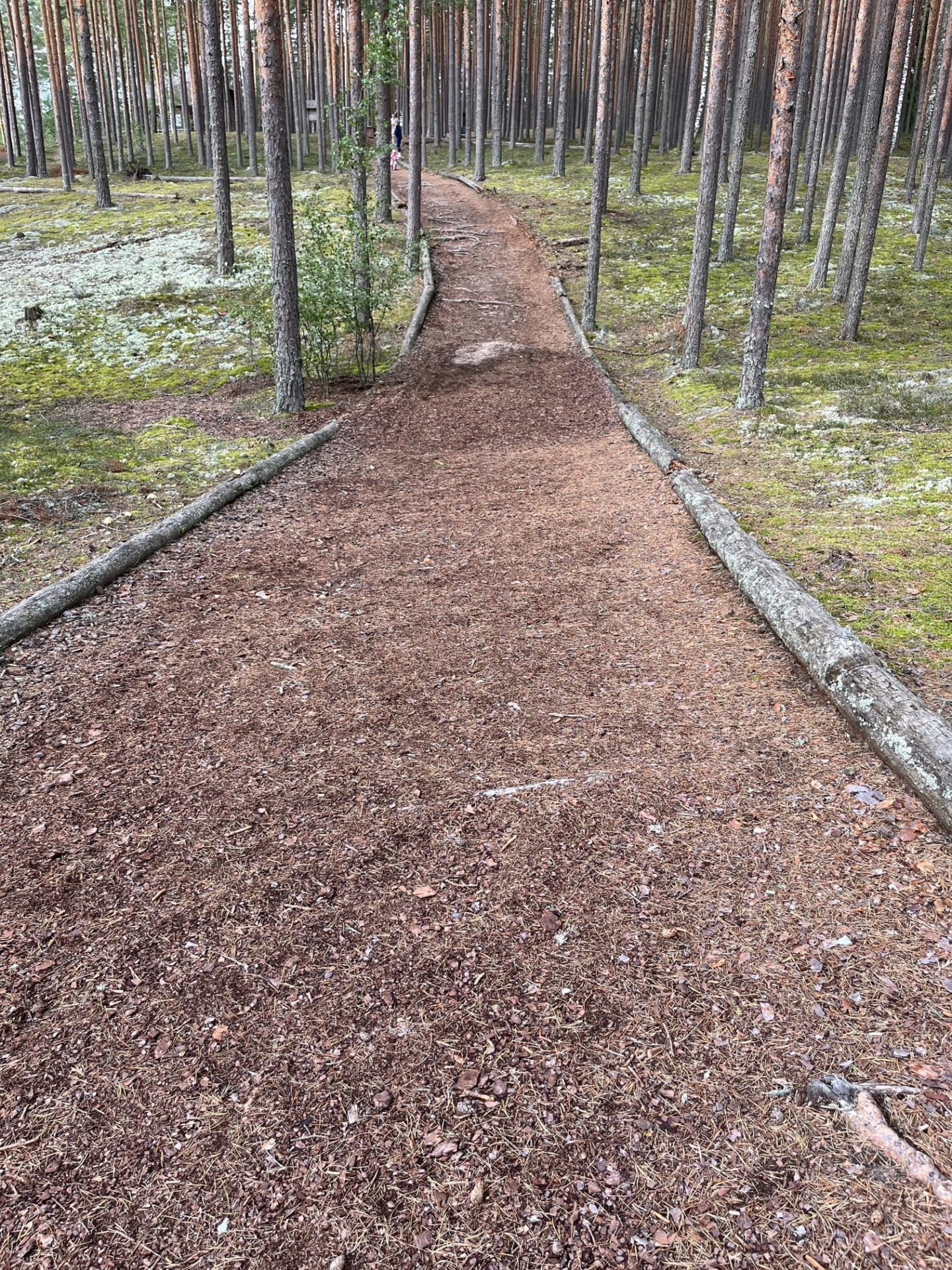
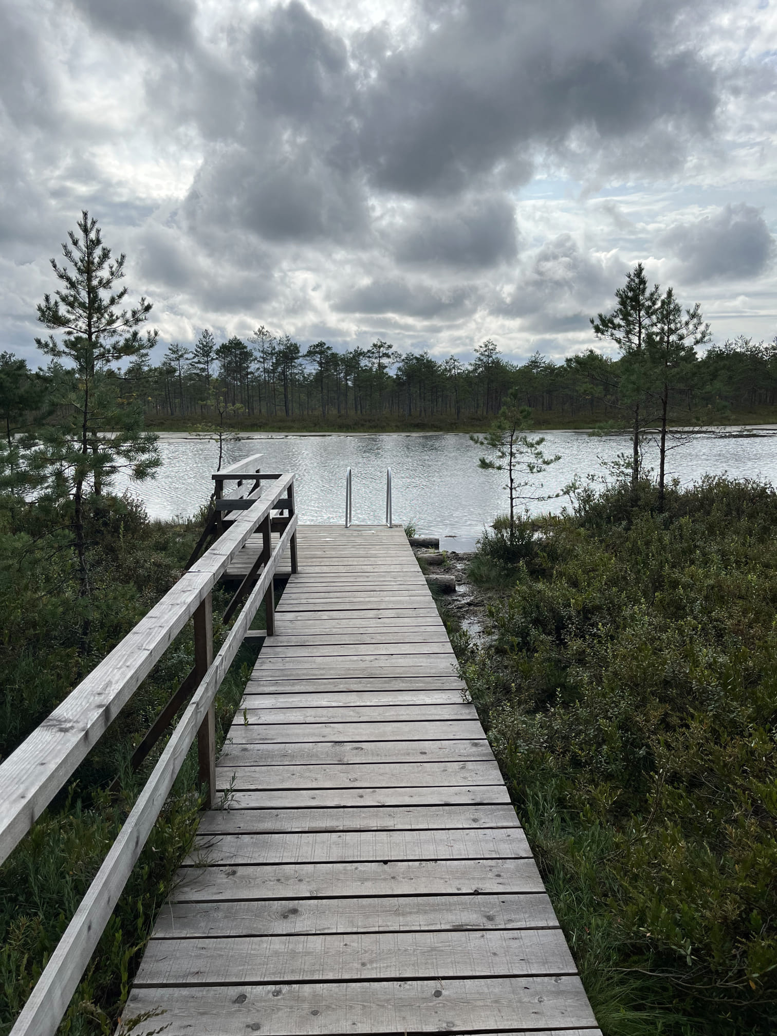
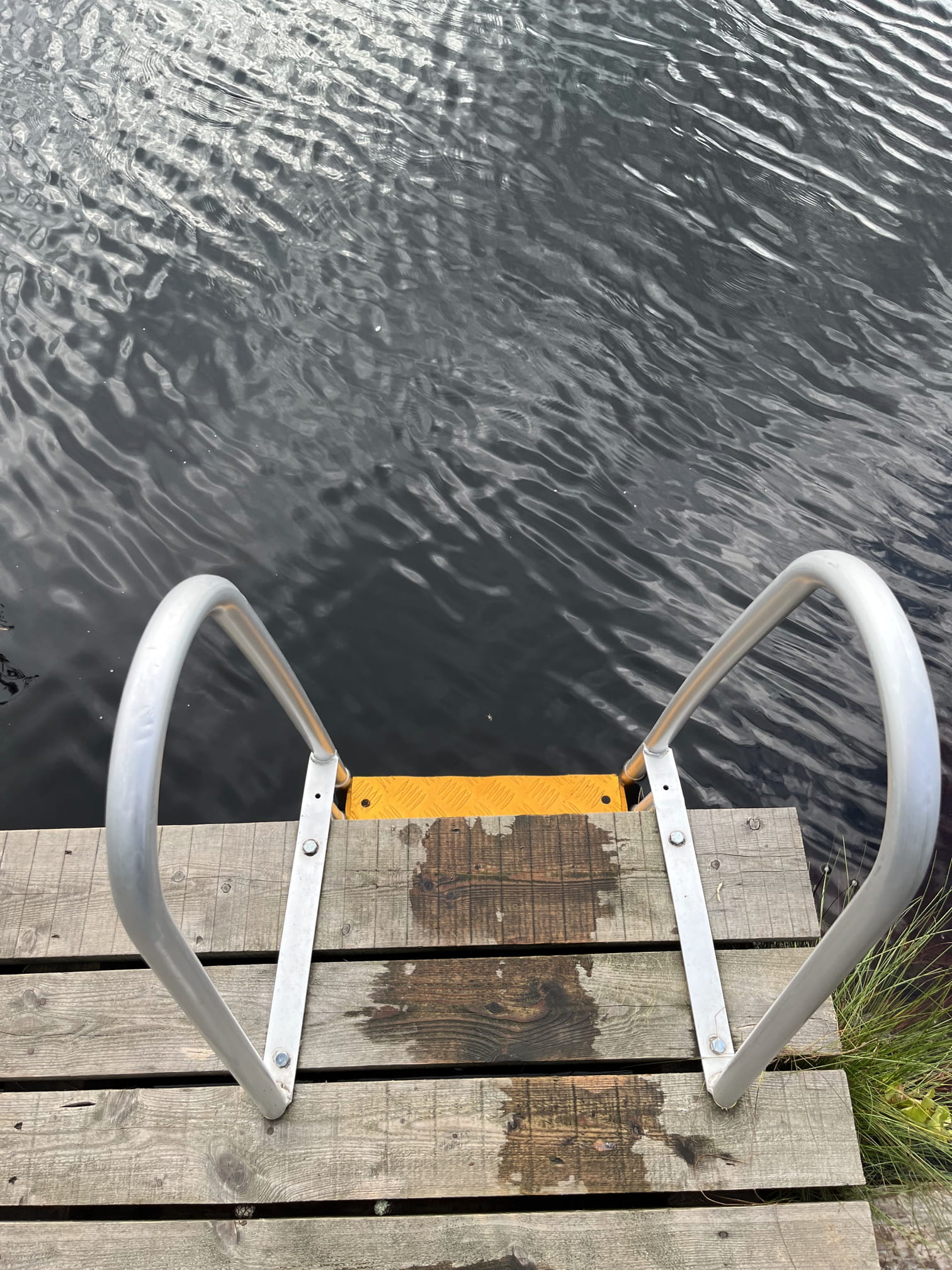
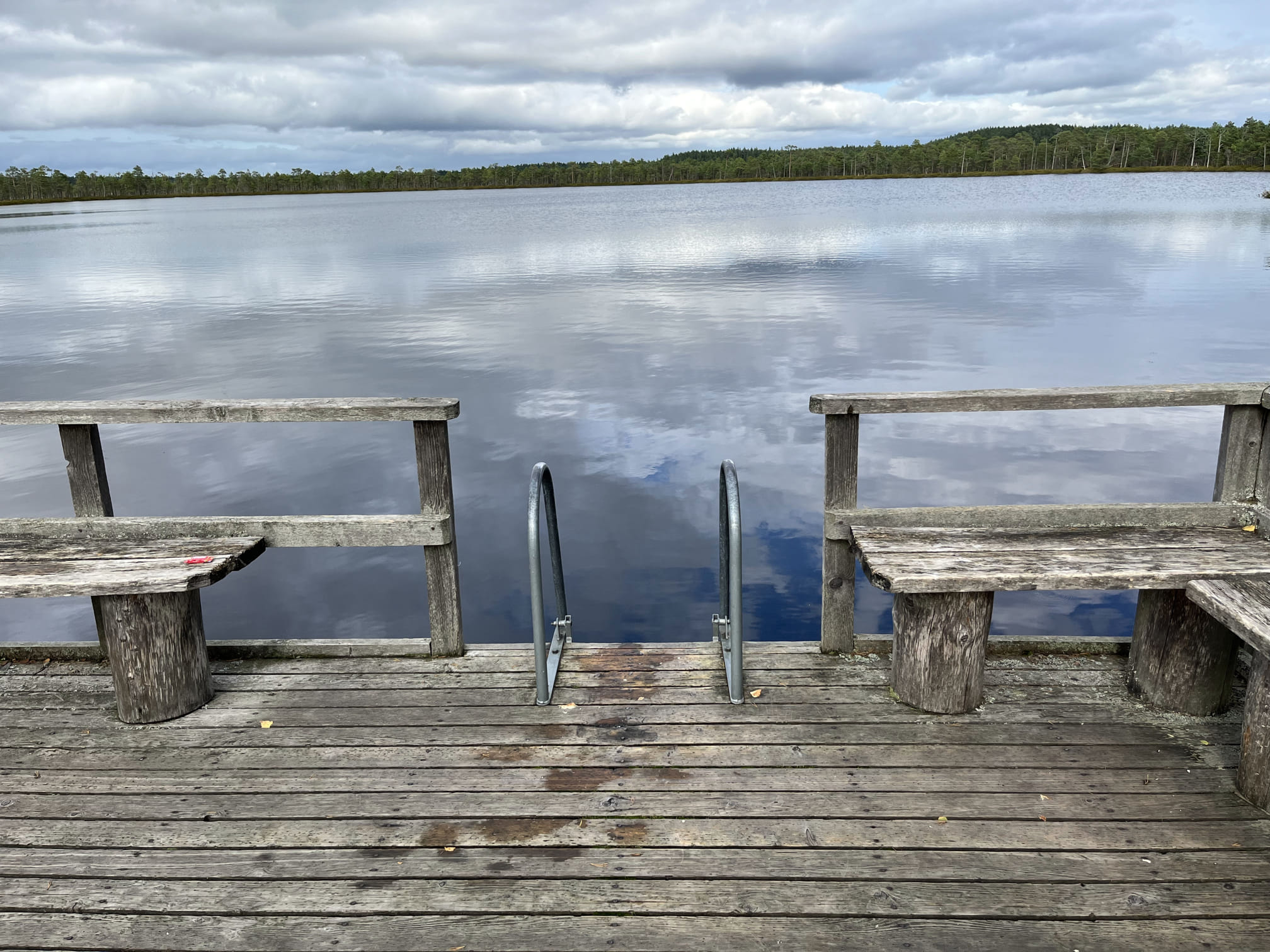
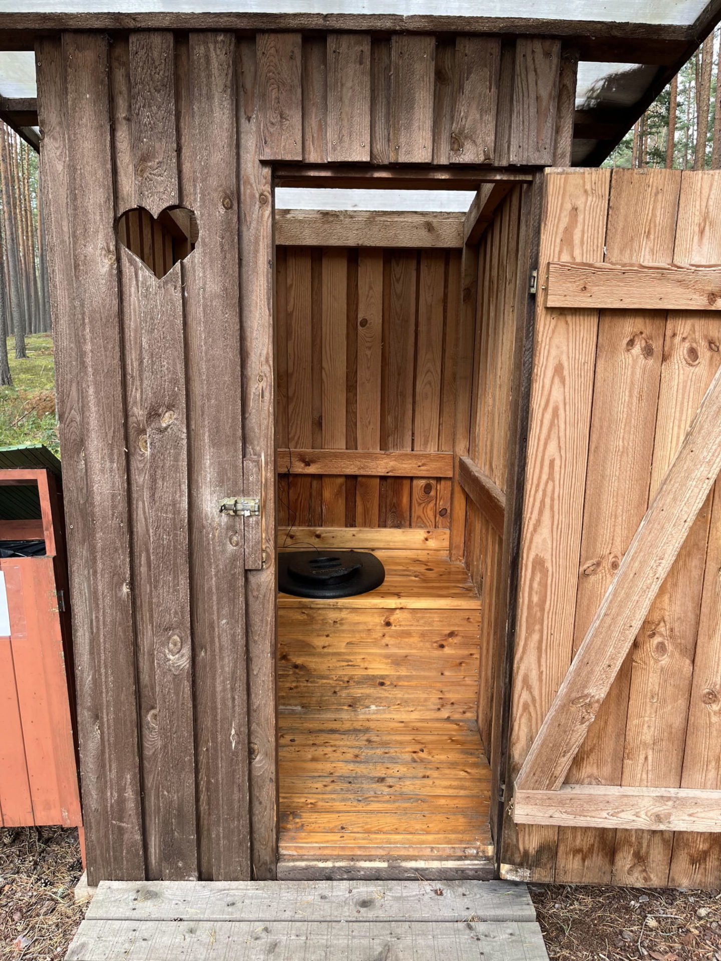
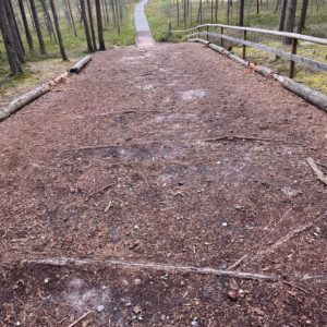
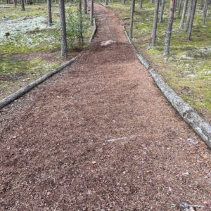
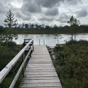
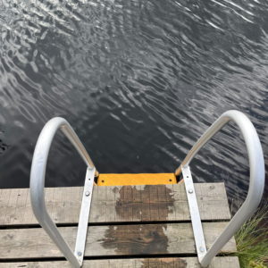
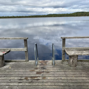
The trail is 5.8 km long and circular, consisting of a 2.4 km boardwalk and a 3.4 km forest path. There are 13 information boards along the trail, introducing the bog and the forest. The bog offers something for everyone – hikers, berry pickers, birdwatchers, etc. Wheelchair and stroller users can travel from the Sunset Forest House end to the large bog lake, approximately 1.1 km. An assistant is needed due to steep inclines and declines for wheelchair users from the parking lot to the boardwalk. Swimming is possible at two spots. At the Liipsaare end of the trail, there is a lookout tower and a covered campfire site, but no special facilities.
Accessibility
Facilities
Rules to follow
Download the GPX of the trail
In order to open the GPX file with the trail route on a mobile phone or computer, please install one of the hiking apps or maps, e.g., Wikiloc, Outdooractive, ViewRanger, OS Maps or any other GPX file reading programme or application.
10 Photos


