Haukanholma Trail
Nature trails, Accessible to parents with baby-strollers, Accessible toilet, Partly accessible

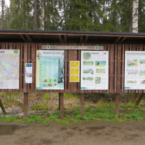
Object list
Watch the trail video:
Description:
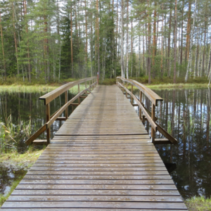
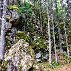
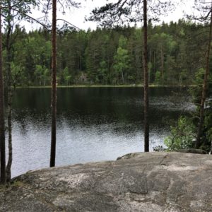
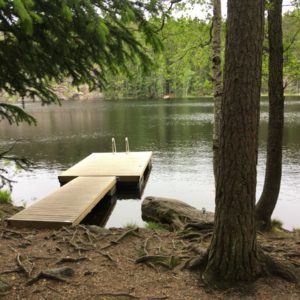
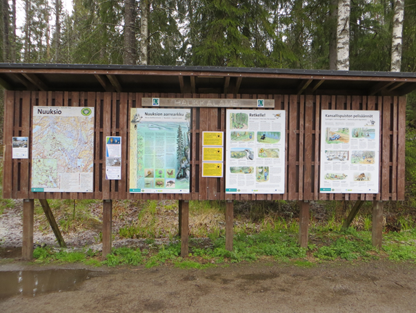
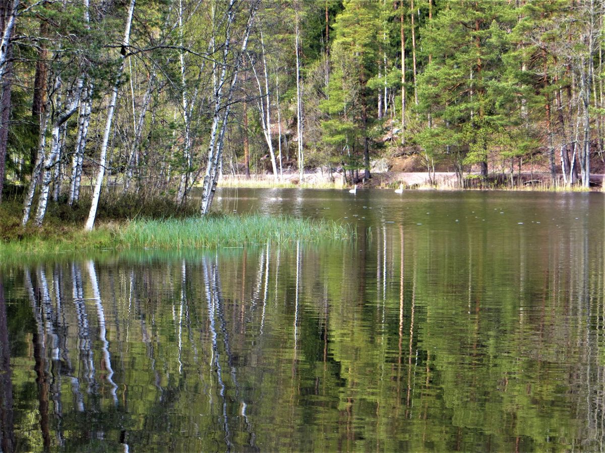
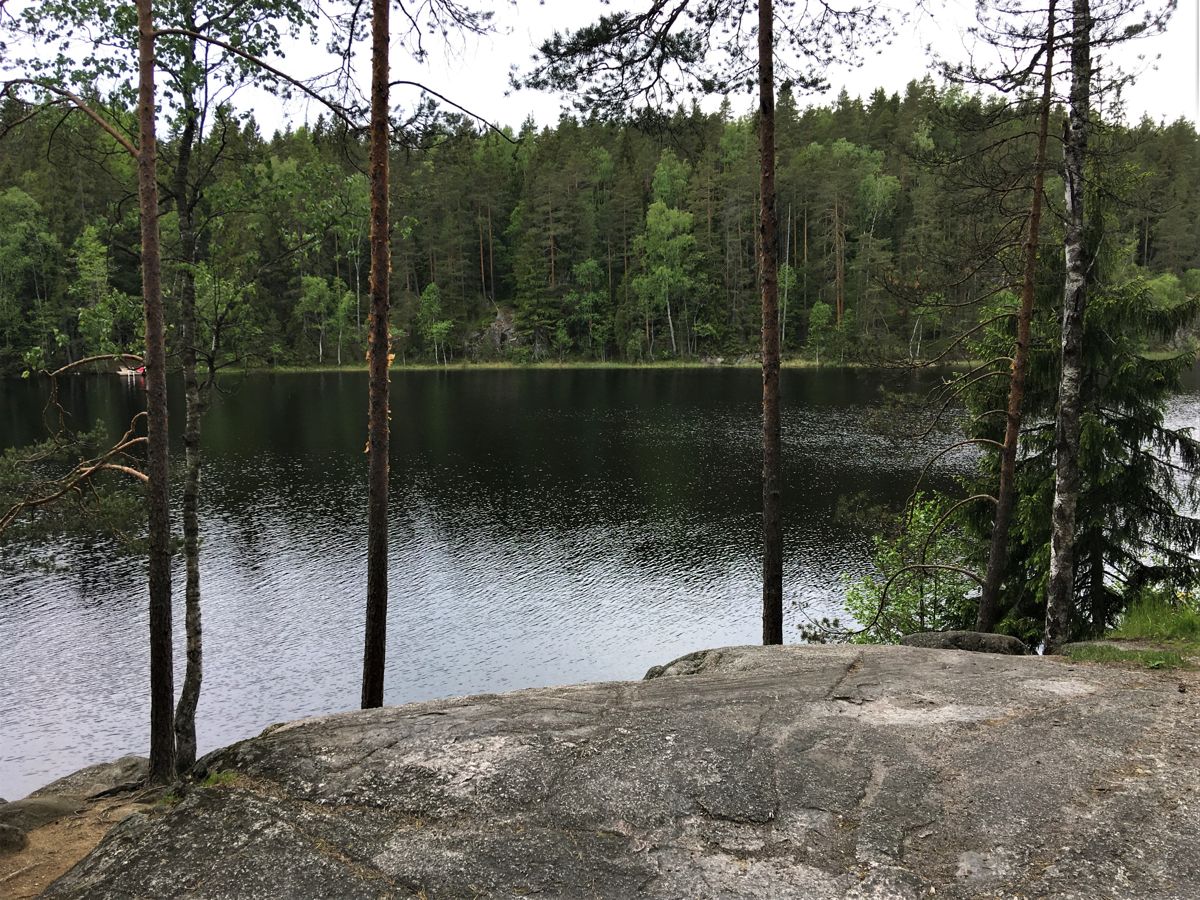
The Haukanholma Trail in Nuuksio National Park offers you a view of typical Finnish scenery with lakes, forests and rugged crags. The nearby Finnish Nature Centre Haltia is accessible and spotlights the best of Finland’s natural treasures from across the country.
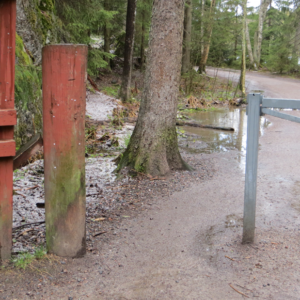
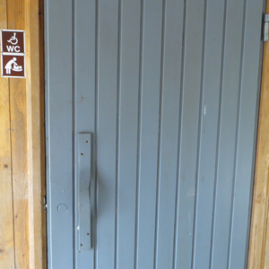
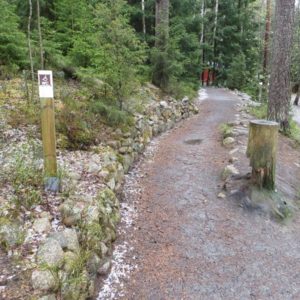
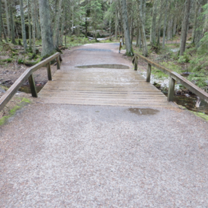
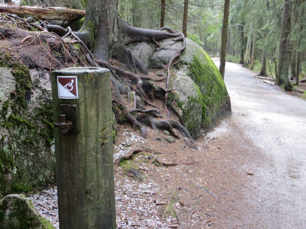
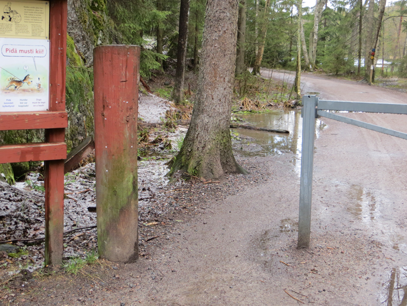
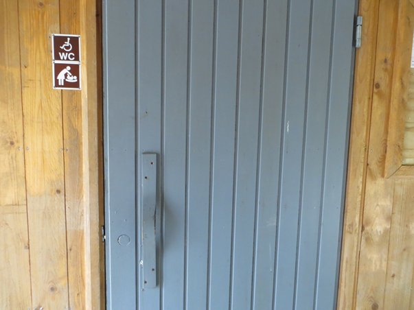
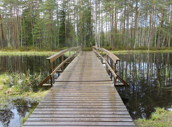
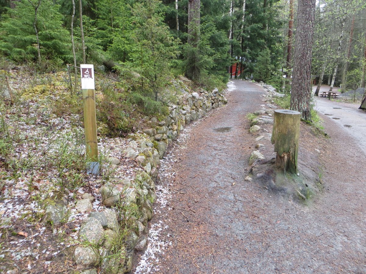
The accessible trail from Haukkalampi’s parking lot to the Haukanholma resting area is 1 km long and mostly at least 2 m wide. The narrowest point is by the gate and on the ramp to the accessible dry toilet (both 1,1 m). With a wheelchair, you need an assistant because the trail is demanding due to the inclines at the beginning and at the end of the trail.
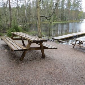
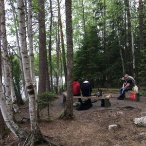
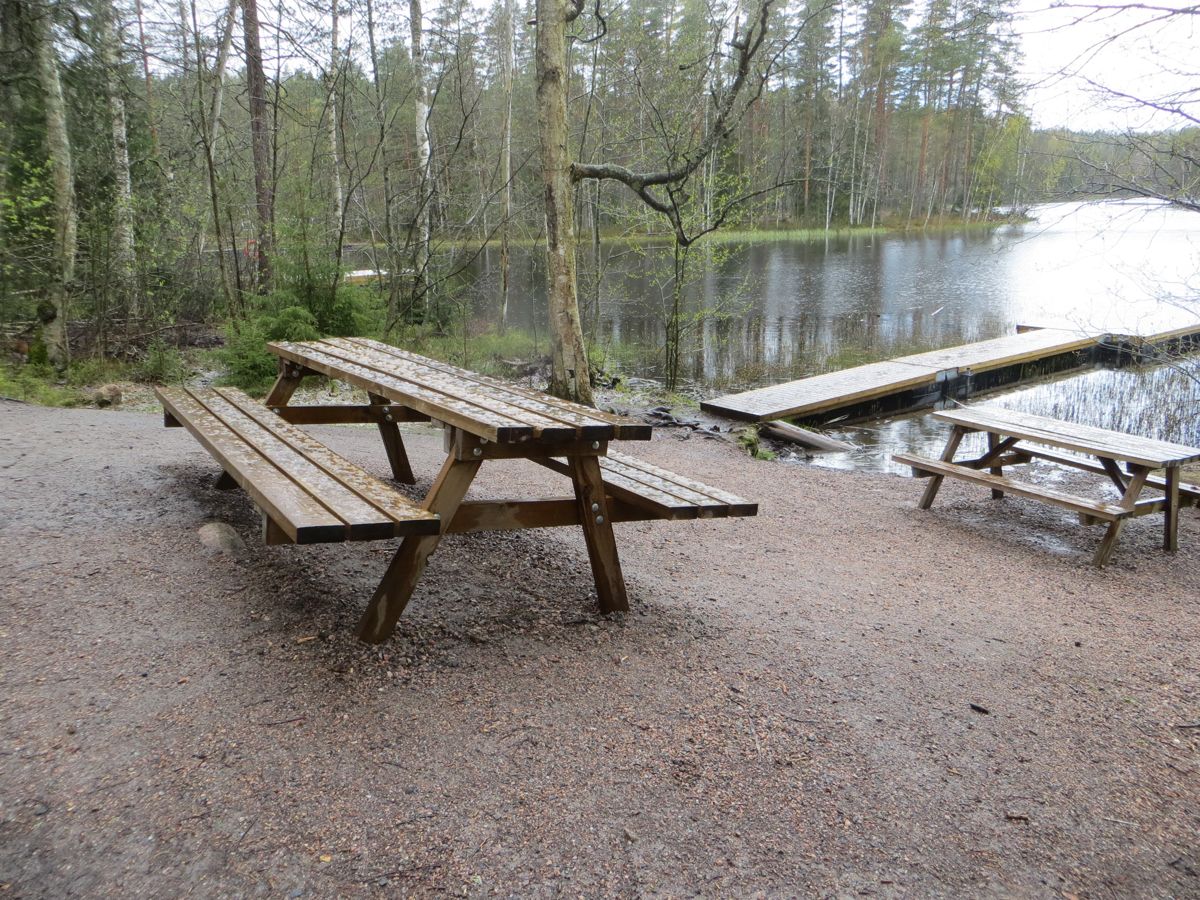
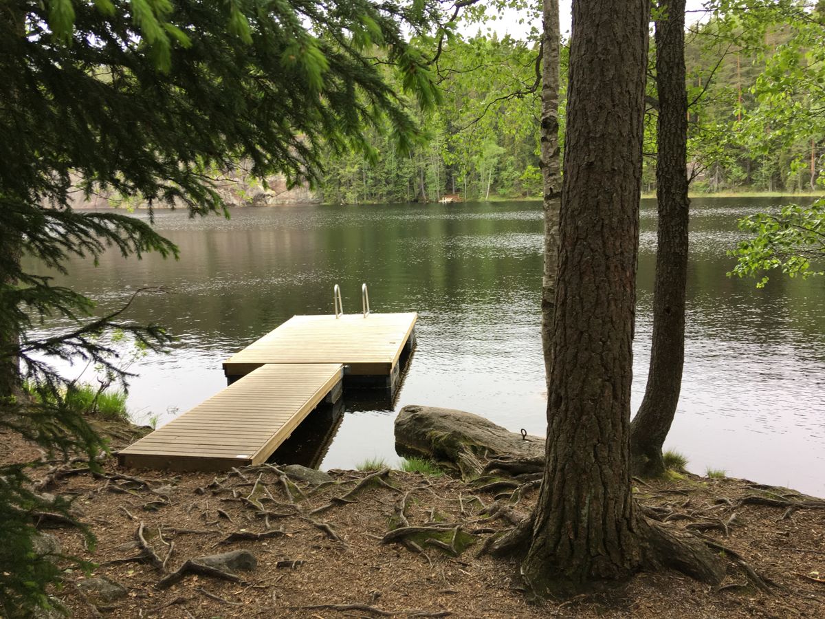
After the first 400 m from the bigger parking lot you reach Haukkalampi. There you will find an accessible toilet and accessible picnic tables, non-accessible recycling point and non-accessible water tap. A non-accessible Guide Hut, Haukanpesä, is open during the summer.
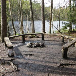
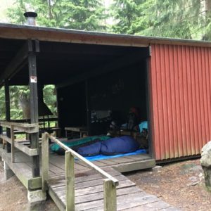
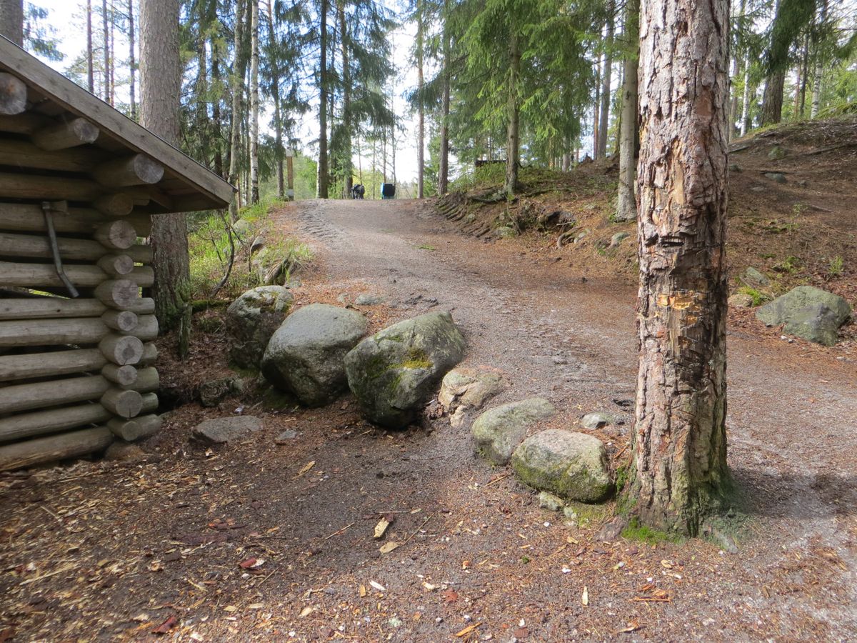
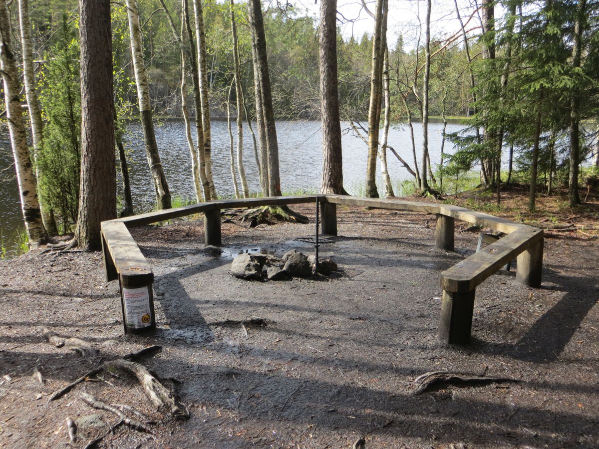
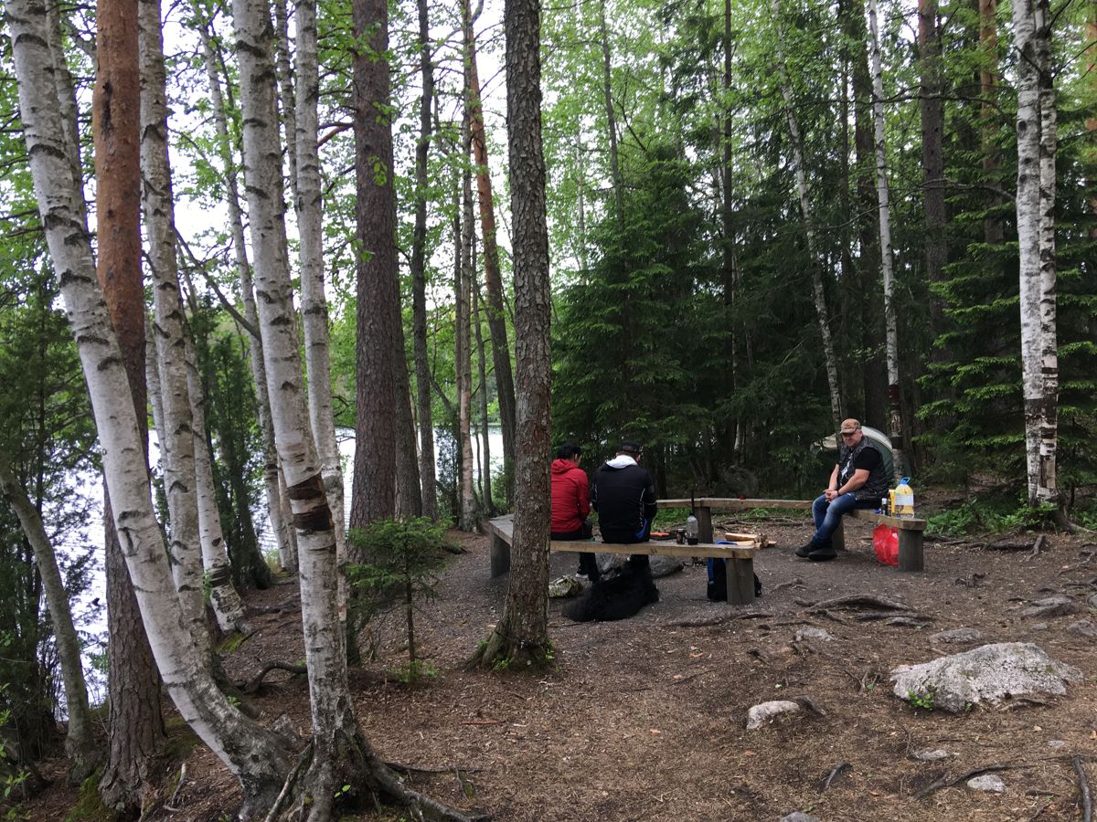
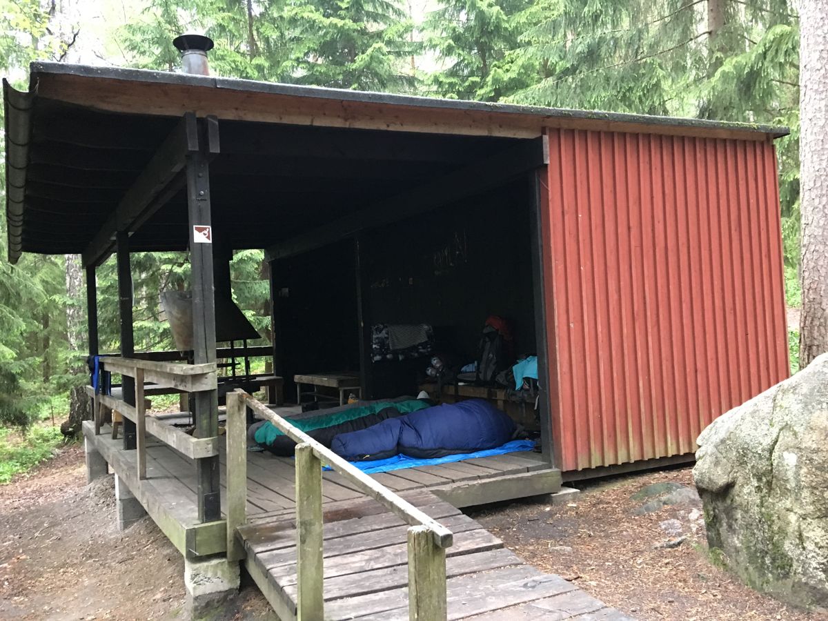
The trail continues another 400 m until it reaches Haukanholma, which features an accessible cooking shelter and accessible campfire pit. Lighting a campfire in the cooking shelter is also allowed during a forest fire alarm. The wood storage is non-accessible.
Accessibility
How to get there: Going to Haukkalampi parking lot, drive on the Nupurintie Road (Route 110), and then turn onto Brobackantie Road heading north through Nupuri. Brobackantie Road later becomes to Nuuksiontie Road. Take Nuuksiontie a couple of kilometres past Finnish Nature Centre Haltia. Turn left at the National Park sign and drive 2 km. The parking lot is on your left side, first the bigger one and after it, the smaller one.
Facilities
Along the slope close to the parking lot, the sideways gradient is 18% around one curve
Rules to follow
Download the GPX of the trail
In order to open the GPX file with the trail route on a mobile phone or computer, please install one of the hiking apps or maps, e.g., Wikiloc, Outdooractive, ViewRanger, OS Maps or any other GPX file reading programme or application.
18 Photos


Close

Location:
Nuuksio National Park, Espoo
Suggested starting point:
Haukkalampi parking lot, Haukkalammentie 32
GPS coordinates:
Lat:60.30947, Lon:24.52038Hiking time:
1 h (one direction)

Distance:
1 km (one direction)

Marking:
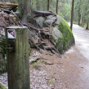
Wooden poles with white tips, the top features a brown and white symbol to indicate accessibility

Trail surface:
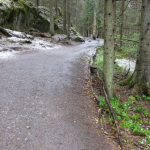
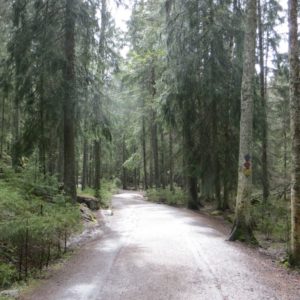
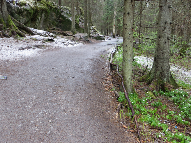
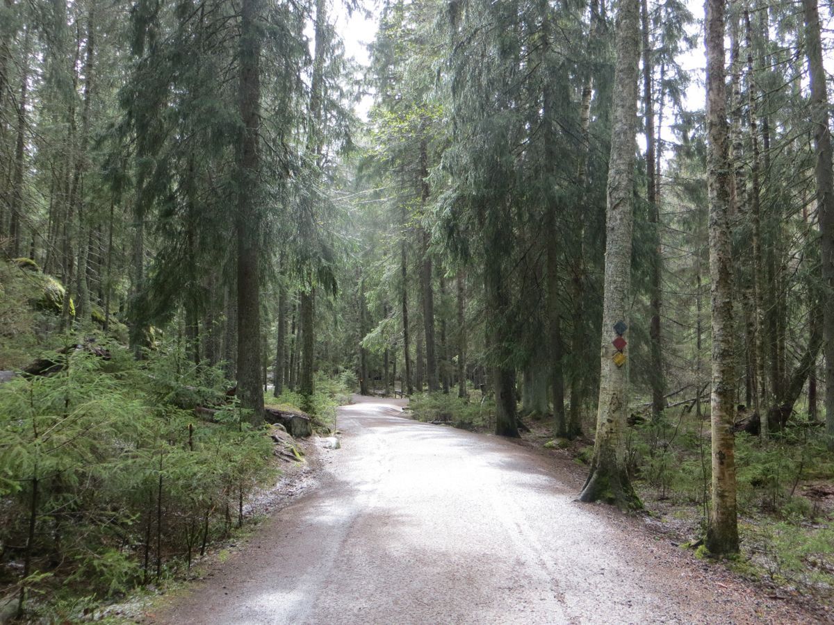
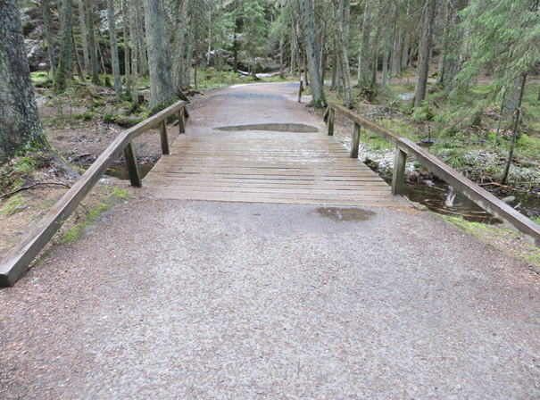
Mostly hard gravel. The surface is normally hard, but after rainfall, some points may be softer for a while.

Type:
Out-and-back
Getting there:
With a car

Trail administrator:
Metsähallitus, Parks & Wildlife Finland, Coastal and Metropolitan Area, www.nationalparks.fi
Info:
Finnish Nature Centre Haltia, T: +358 40 163 6200, E: info@haltia.com, www.haltia.com; E: rannikko@metsa.fi, www.nationalparks.fi/nuuksio; FB: Nuuksio National Park; Instagram: @finnishparks (in English), @luontoon.fi (in Finnish)
Closest shops, gas stations:
Espoo
Slope:
There are two inclines with slopes of more than 8%. The gradient in both is 17%. Close to the bigger parking lot slope is a 15 m long and has a curve with the sideways gradient of 18%. This strech can be avoided by parking in the smaller parking lot, which unfortunately is often full. The other incline is just before Haukanholma, leaving the wood storage under the hill and cooking shelter and campfire pit above it. The length of the slope is 20 m.
Watch the trail video:
Description:
The Haukanholma Trail in Nuuksio National Park offers you a view of typical Finnish scenery with lakes, forests and rugged crags. The nearby Finnish Nature Centre Haltia is accessible and spotlights the best of Finland’s natural treasures from across the country.
The accessible trail from Haukkalampi’s parking lot to the Haukanholma resting area is 1 km long and mostly at least 2 m wide. The narrowest point is by the gate and on the ramp to the accessible dry toilet (both 1,1 m). With a wheelchair, you need an assistant because the trail is demanding due to the inclines at the beginning and at the end of the trail.
After the first 400 m from the bigger parking lot you reach Haukkalampi. There you will find an accessible toilet and accessible picnic tables, non-accessible recycling point and non-accessible water tap. A non-accessible Guide Hut, Haukanpesä, is open during the summer.
The trail continues another 400 m until it reaches Haukanholma, which features an accessible cooking shelter and accessible campfire pit. Lighting a campfire in the cooking shelter is also allowed during a forest fire alarm. The wood storage is non-accessible.
Accessibility
How to get there: Going to Haukkalampi parking lot, drive on the Nupurintie Road (Route 110), and then turn onto Brobackantie Road heading north through Nupuri. Brobackantie Road later becomes to Nuuksiontie Road. Take Nuuksiontie a couple of kilometres past Finnish Nature Centre Haltia. Turn left at the National Park sign and drive 2 km. The parking lot is on your left side, first the bigger one and after it, the smaller one.
Facilities
Along the slope close to the parking lot, the sideways gradient is 18% around one curve
Rules to follow
Download the GPX of the trail
In order to open the GPX file with the trail route on a mobile phone or computer, please install one of the hiking apps or maps, e.g., Wikiloc, Outdooractive, ViewRanger, OS Maps or any other GPX file reading programme or application.
18 Photos
Close