Ēvaži Nature Trail
Nature trails, Accessible to parents with baby-strollers, Partly accessible
Object list
Watch the trail video:
Description:
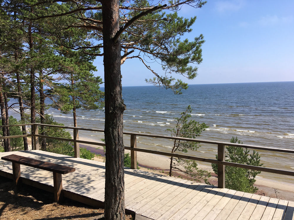
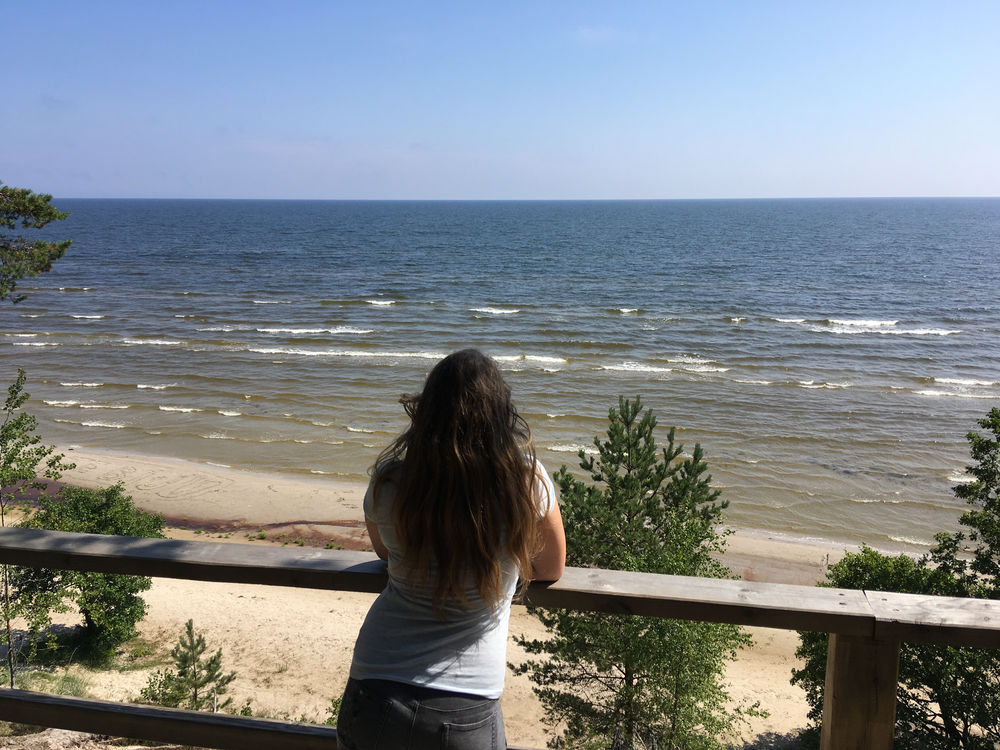
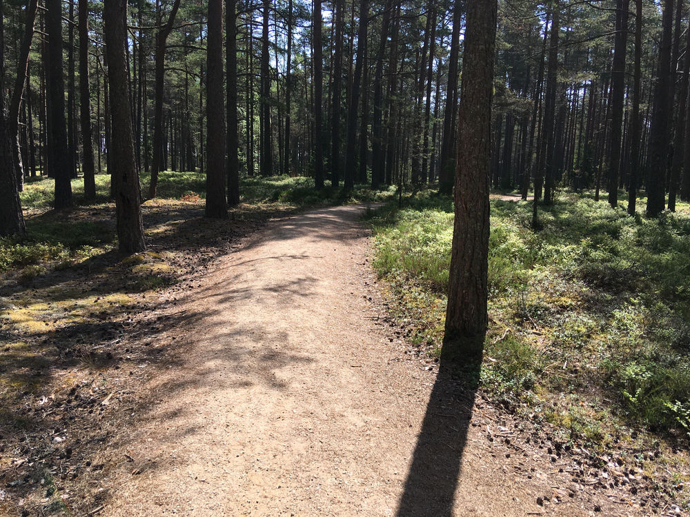
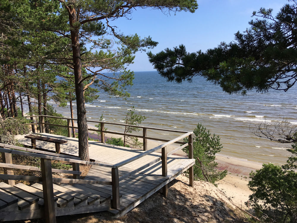
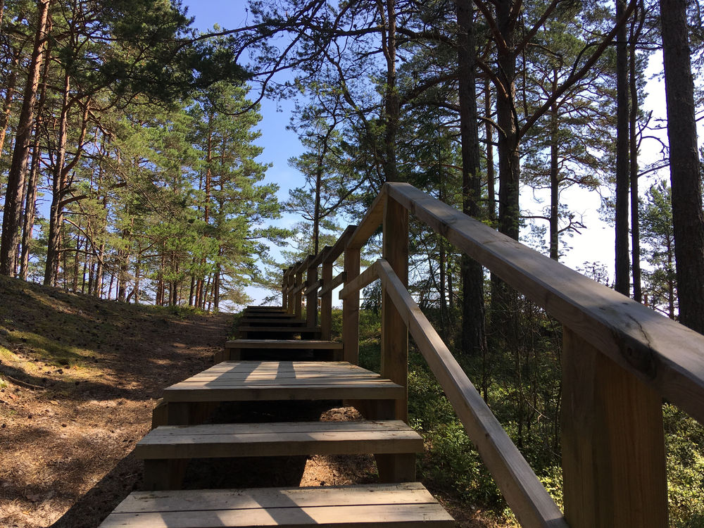
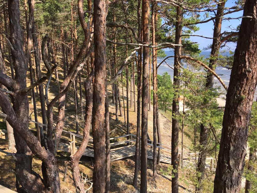
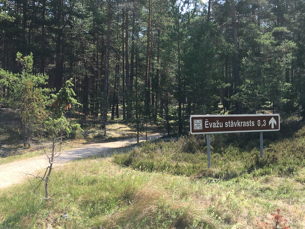
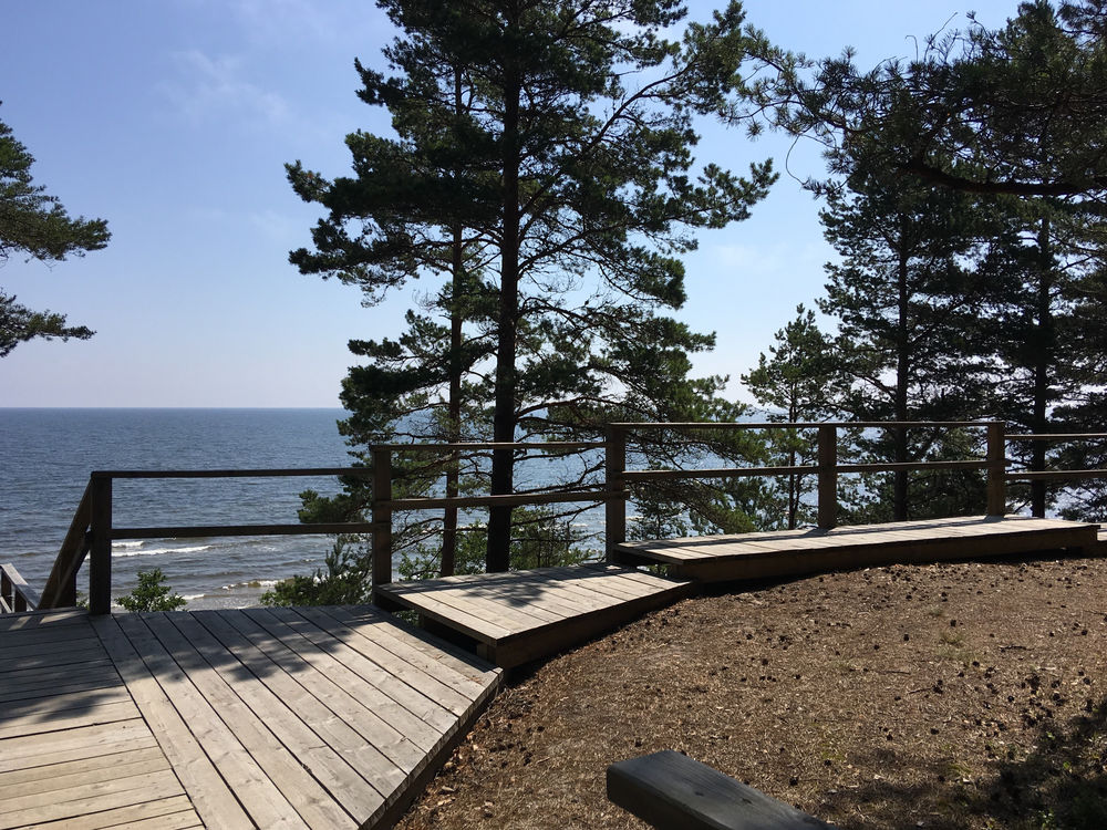
The trail starts near the highway Riga-Kolka (P 131) at the border of Slītere National Park marked with the brown sign Ēvažu stāvkrasts (Ēvaži Steep) and introduces visitors to one of the few steep coasts of the Gulf of Riga – Ēvaži Steep, which is 8-15 m high. This is a one-way trail, the route out and back takes about 1,2 km. The trail leads to a nice wooden viewing platform with stairs going down to the beach. The edge of the bluff opens an amazing sea panorama. The beach line is quite thin and during stormy weather it disappears in the waves completely. Thanks to the ground waters of Bažu bog, which filter down into the soil and flow out onto the surface of the beach, the sand of the beach is always wet.
Accessibility
The path is accessible until the viewing platform, stairs follow afterwards. Dry toilet is not accessible.
Facilities
Rules to follow
Download the GPX of the trail
In order to open the GPX file with the trail route on a mobile phone or computer, please install one of the hiking apps or maps, e.g., Wikiloc, Outdooractive, ViewRanger, OS Maps or any other GPX file reading programme or application.
8 Photos
