Accessibility
Facilities
5 Photos
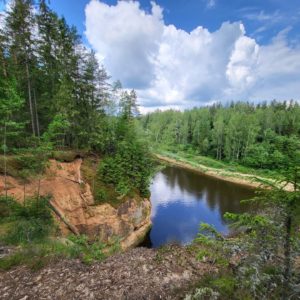
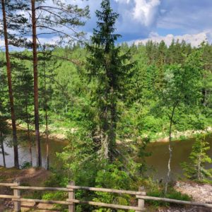
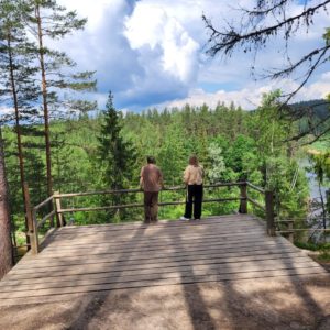
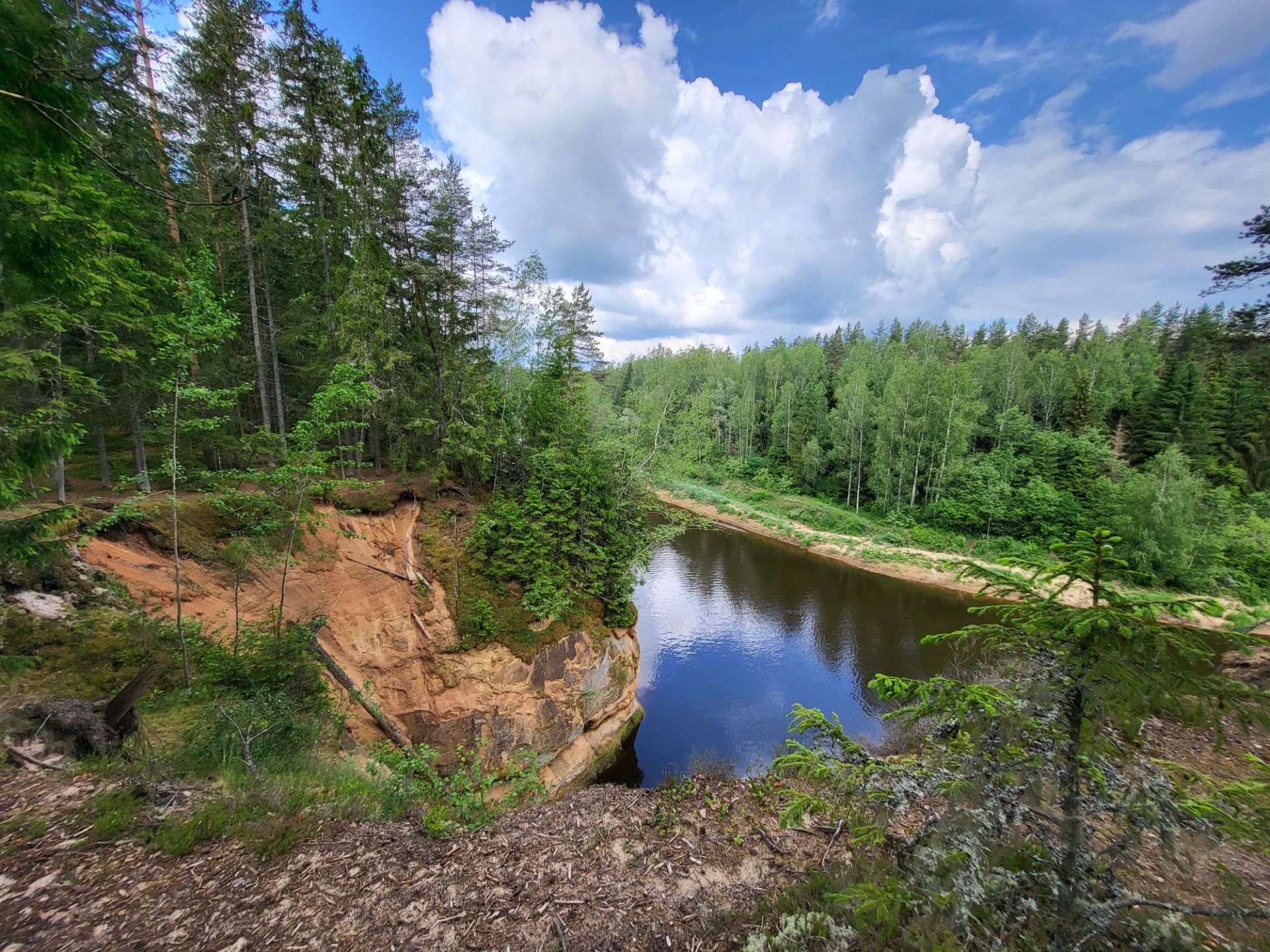
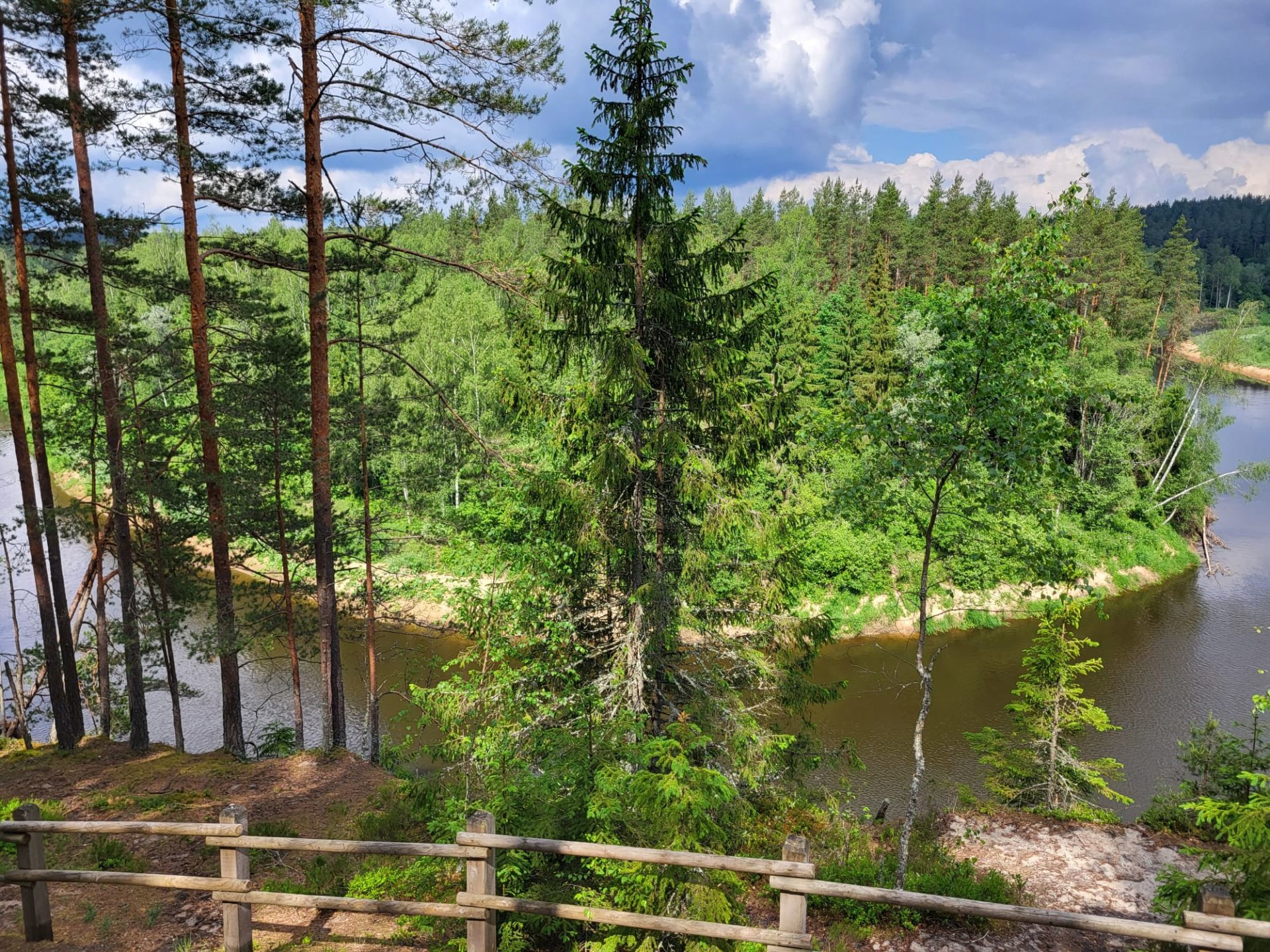
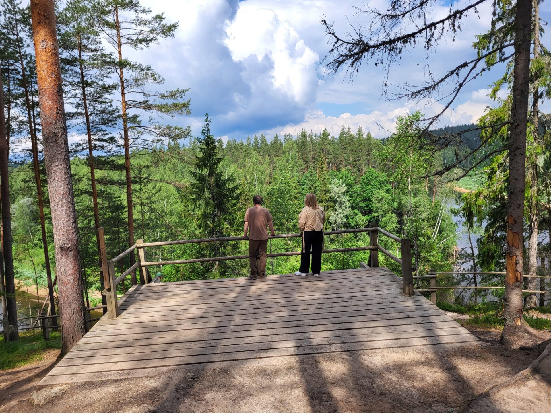
The Ērgļu or Organ Cliffs are located about 6.5 km from Cēsis. It is 460 meters from the parking lot to the viewing platform at the Ērgļu Cliffs. Legend says that the echo against this rock sounded like an organ, which is why it was called the Organ Cliffs. From the viewing platform above the rocks, a magnificent landscape opens up far across the Gauja. Andrejs Dripe together with Imantas Ziedonis saved the plan to build a hotel above the Ērgļu Cliffs. The cliffs are one of the most important tourist attractions in the Gauja National Park.
– There is no parking for people with disabilities
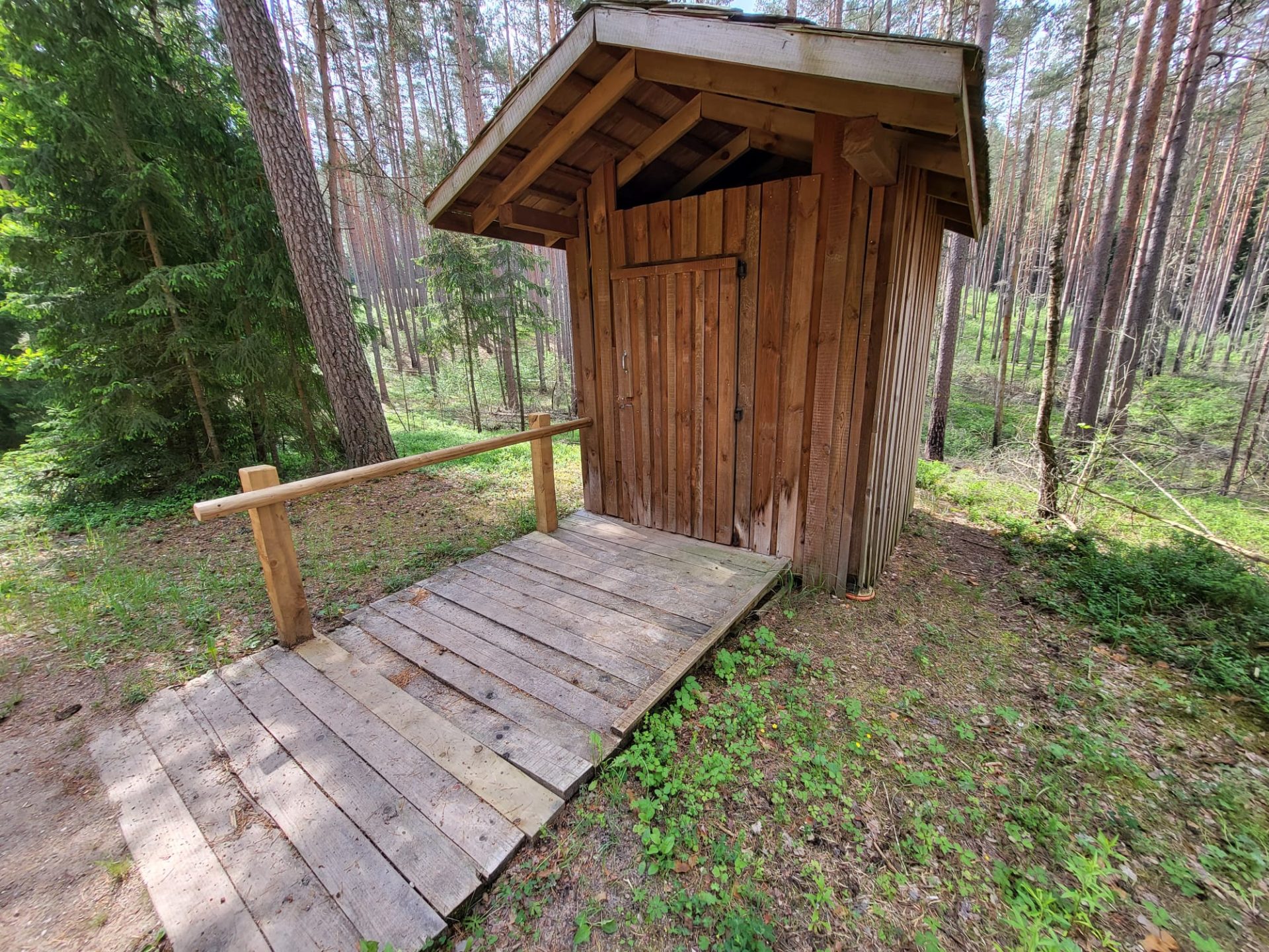
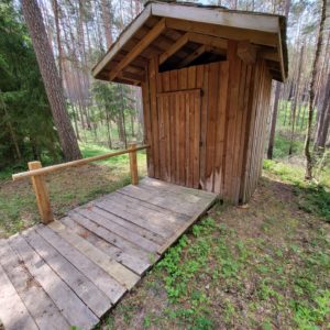
– There is a toilet for people with mobility impairments near the viewing platform
– Moving to the cliffs is preferable with the help of an assistant
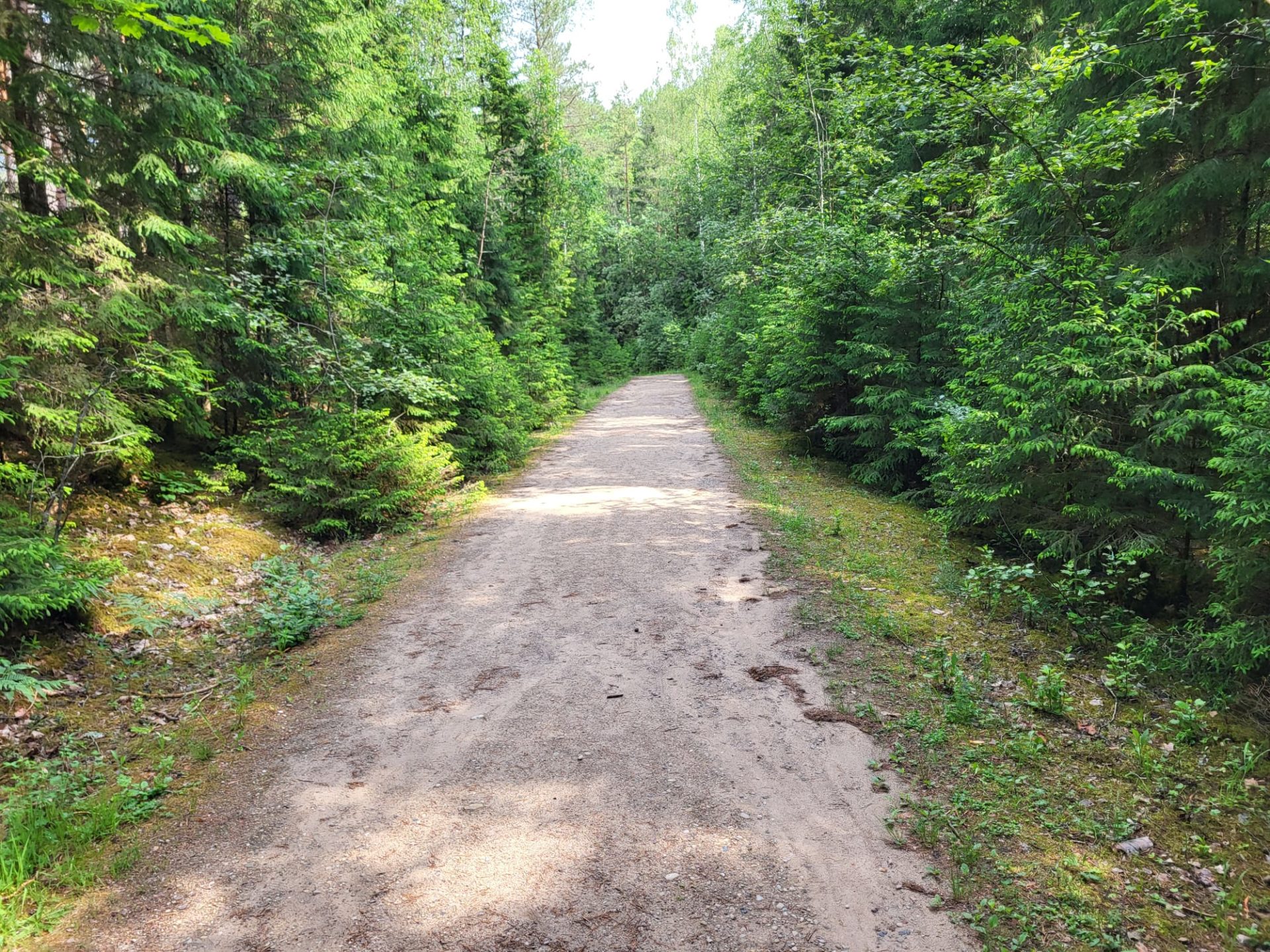
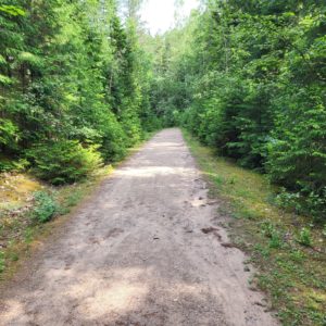
– It is recommended to travel along the Mežtakas route to the cliffs
In order to open the GPX file with the trail route on a mobile phone or computer, please install one of the hiking apps or maps, e.g., Wikiloc, Outdooractive, ViewRanger, OS Maps or any other GPX file reading programme or application.
Accessibility
Facilities
5 Photos


The Ērgļu or Organ Cliffs are located about 6.5 km from Cēsis. It is 460 meters from the parking lot to the viewing platform at the Ērgļu Cliffs. Legend says that the echo against this rock sounded like an organ, which is why it was called the Organ Cliffs. From the viewing platform above the rocks, a magnificent landscape opens up far across the Gauja. Andrejs Dripe together with Imantas Ziedonis saved the plan to build a hotel above the Ērgļu Cliffs. The cliffs are one of the most important tourist attractions in the Gauja National Park.
– There is no parking for people with disabilities
– There is a toilet for people with mobility impairments near the viewing platform
– Moving to the cliffs is preferable with the help of an assistant
– It is recommended to travel along the Mežtakas route to the cliffs
In order to open the GPX file with the trail route on a mobile phone or computer, please install one of the hiking apps or maps, e.g., Wikiloc, Outdooractive, ViewRanger, OS Maps or any other GPX file reading programme or application.
