Emajõe Educational Trail and centre
Nature trails, Accessible to parents with baby-strollers, Accessible toilet, Partly accessible

Object list
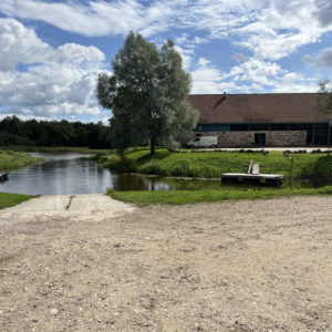
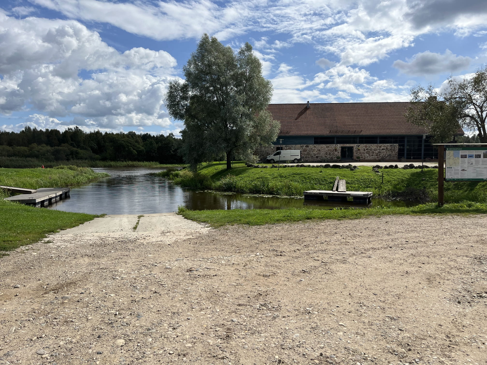
The trail starts from the former Emajõe-Suursoo Nature Center (formerly the Kantsi tavern) and loops around the riverbank marsh, a sedge-covered lowland meadow, and passes through a bog forest.
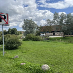
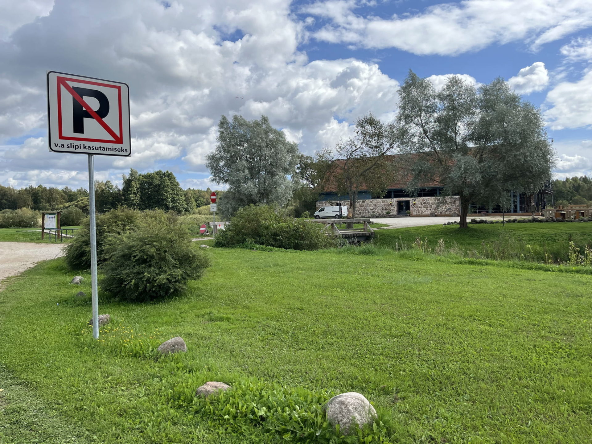
All vehicle traffic on the trail is prohibited! There is a parking lot for 20 cars. Vehicles should be left in the parking lot located before the gates. If necessary, parking near the Emajõe Nature Center building can be arranged by calling +372 662 5999.
Description:
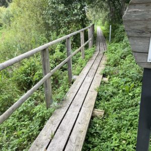
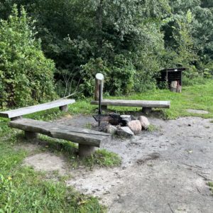
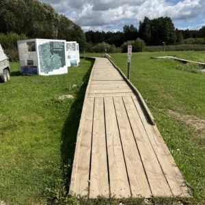
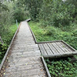
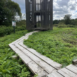
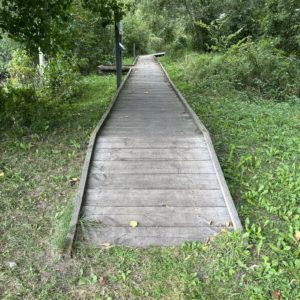
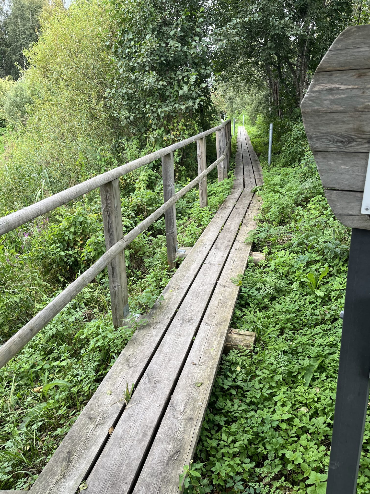
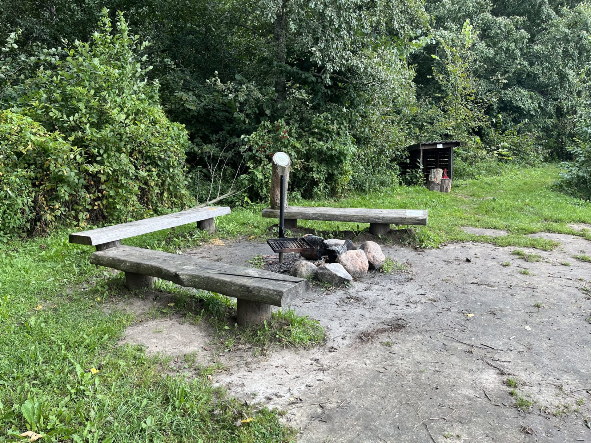
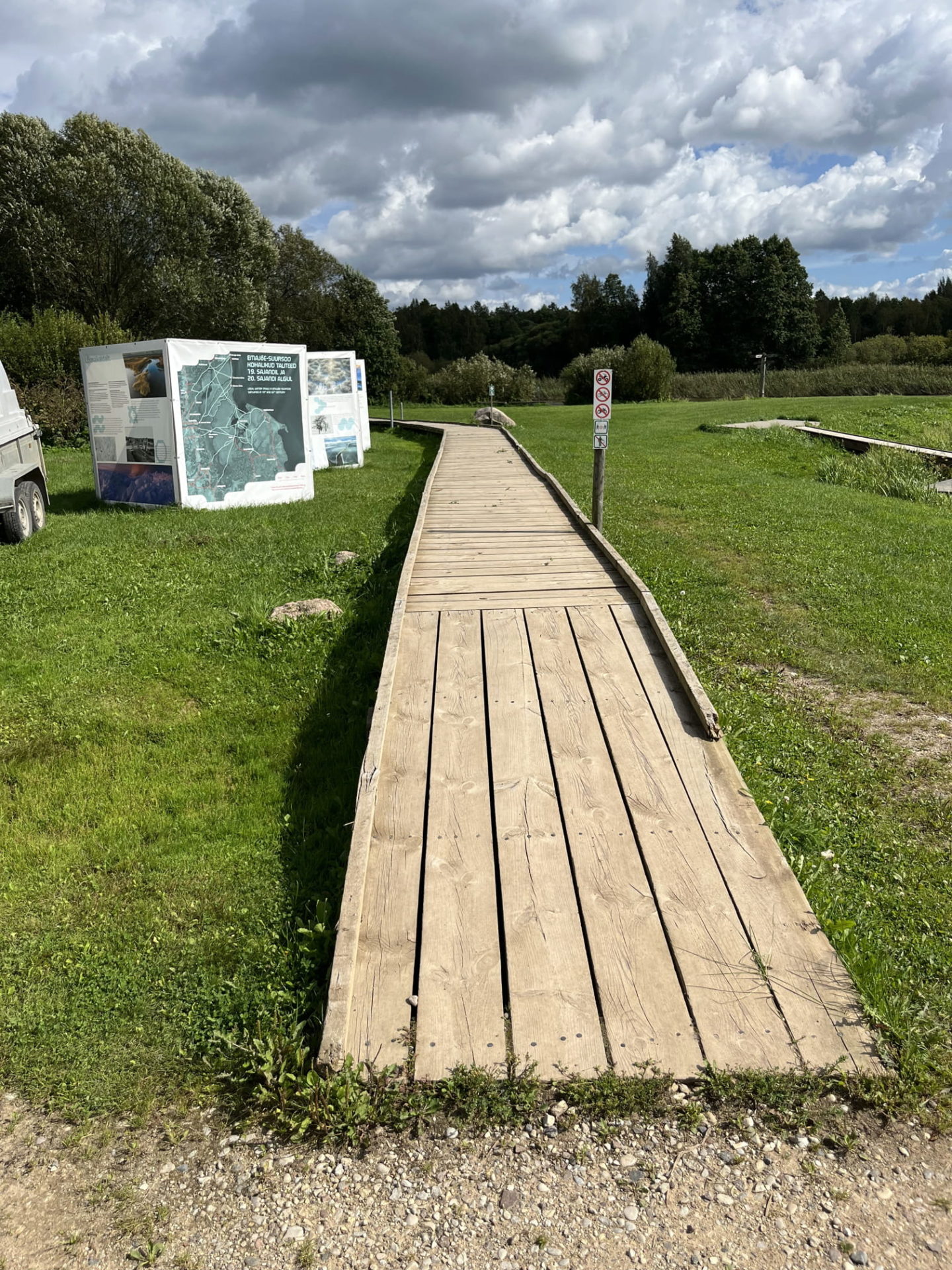
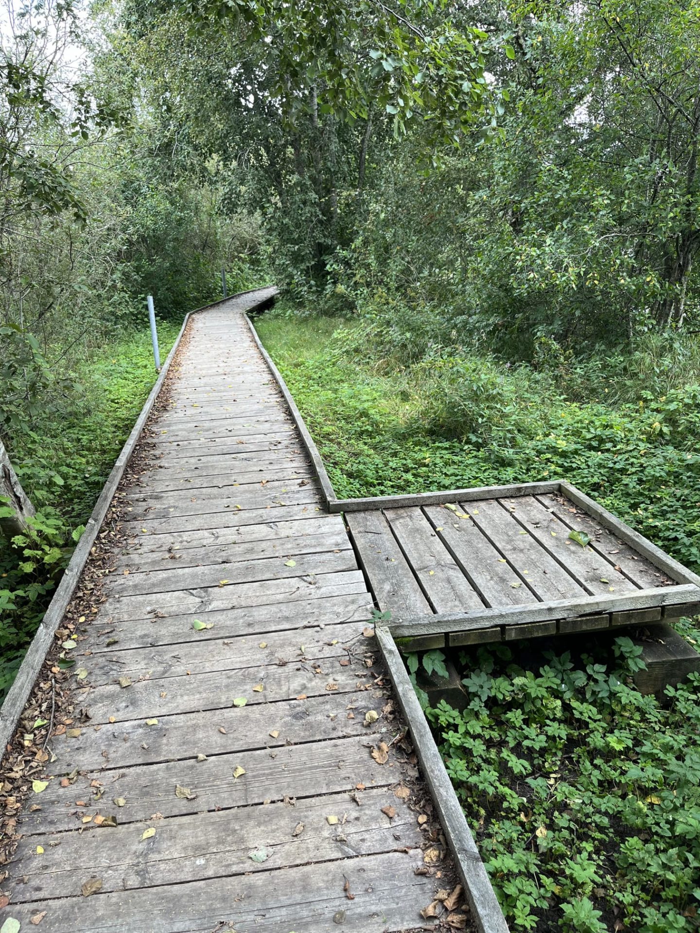
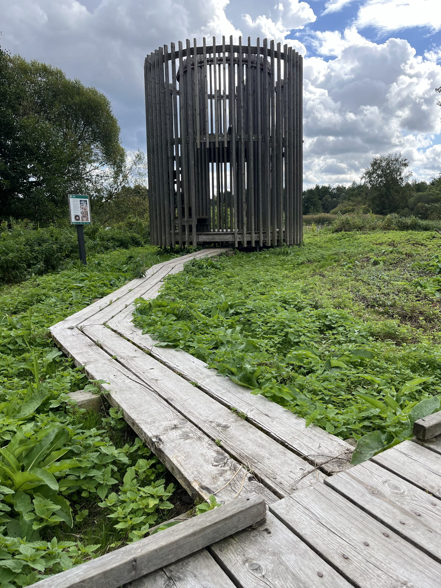
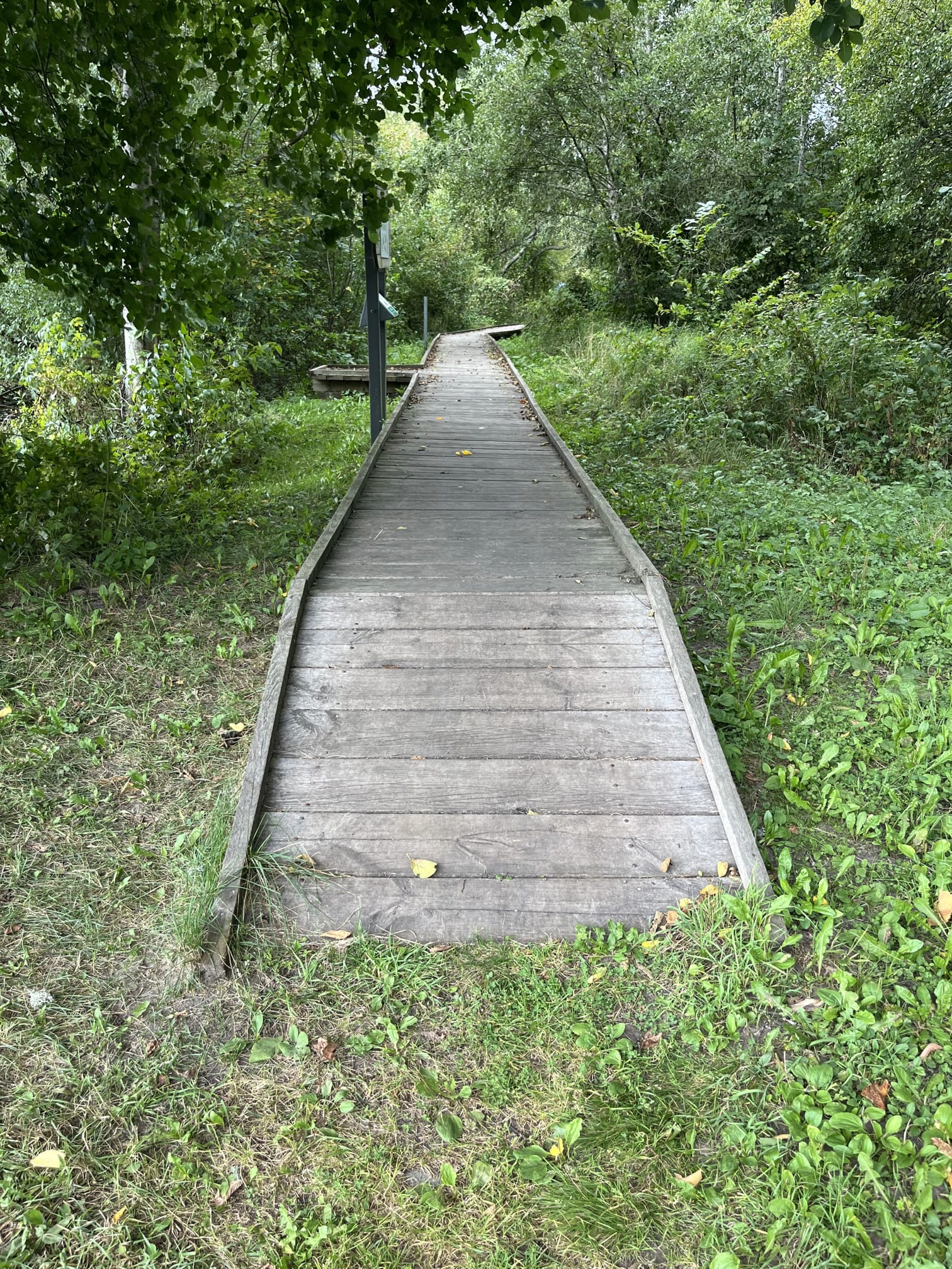
The 1.3 km long boardwalk is 0.64 m wide, with 3 campfire sites with benches, a bridge, and a floodplain observation platform. The outdoor toilet has three steps for access, and the nearest accessible restroom is located inside the Emajõe-Suursoo Nature Center building, which is accessible by a ramp. A ramp that leads inside is made of wider cobblestone and paved with concrete. The toilet inside the building is quite narrow (which you can see on the photos) and has a regular locking handle. Access to the second floor, where there is a photo exhibition, is not wheelchair-adapted.
Accessibility
Facilities
Rules to follow
Download the GPX of the trail
In order to open the GPX file with the trail route on a mobile phone or computer, please install one of the hiking apps or maps, e.g., Wikiloc, Outdooractive, ViewRanger, OS Maps or any other GPX file reading programme or application.
8 Photos
Close
Location: Kavastu küla, Luunja vald, Tartu county
GPS coordinates:
Emajõe Educational Trail
Website:
Emajõe Educational TrailHiking time:
45 min (one direction)

Distance:
3 km

Marking:
Not marked, but can easily follow the trail

Trail surface:
Wooden boardwalk, grass

Type:
Out-and-back
Getting there:
By car

Info:
LisainfoThe trail starts from the former Emajõe-Suursoo Nature Center (formerly the Kantsi tavern) and loops around the riverbank marsh, a sedge-covered lowland meadow, and passes through a bog forest.
All vehicle traffic on the trail is prohibited! There is a parking lot for 20 cars. Vehicles should be left in the parking lot located before the gates. If necessary, parking near the Emajõe Nature Center building can be arranged by calling +372 662 5999.
Description:
The 1.3 km long boardwalk is 0.64 m wide, with 3 campfire sites with benches, a bridge, and a floodplain observation platform. The outdoor toilet has three steps for access, and the nearest accessible restroom is located inside the Emajõe-Suursoo Nature Center building, which is accessible by a ramp. A ramp that leads inside is made of wider cobblestone and paved with concrete. The toilet inside the building is quite narrow (which you can see on the photos) and has a regular locking handle. Access to the second floor, where there is a photo exhibition, is not wheelchair-adapted.
Accessibility
Facilities
Rules to follow
Download the GPX of the trail
In order to open the GPX file with the trail route on a mobile phone or computer, please install one of the hiking apps or maps, e.g., Wikiloc, Outdooractive, ViewRanger, OS Maps or any other GPX file reading programme or application.
8 Photos
Close