Bonesjon nature trail (Norway)
Nature trails, Accessible to parents with baby-strollers, Accessible toilet, Parking lot for handicaps, Partly accessible

Object list
Description:
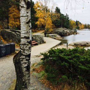
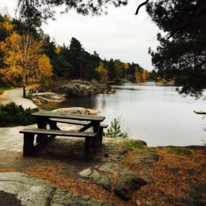
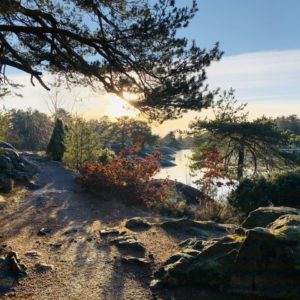
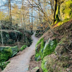
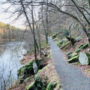
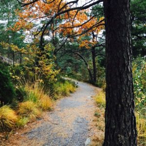
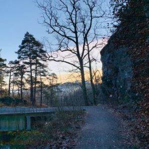
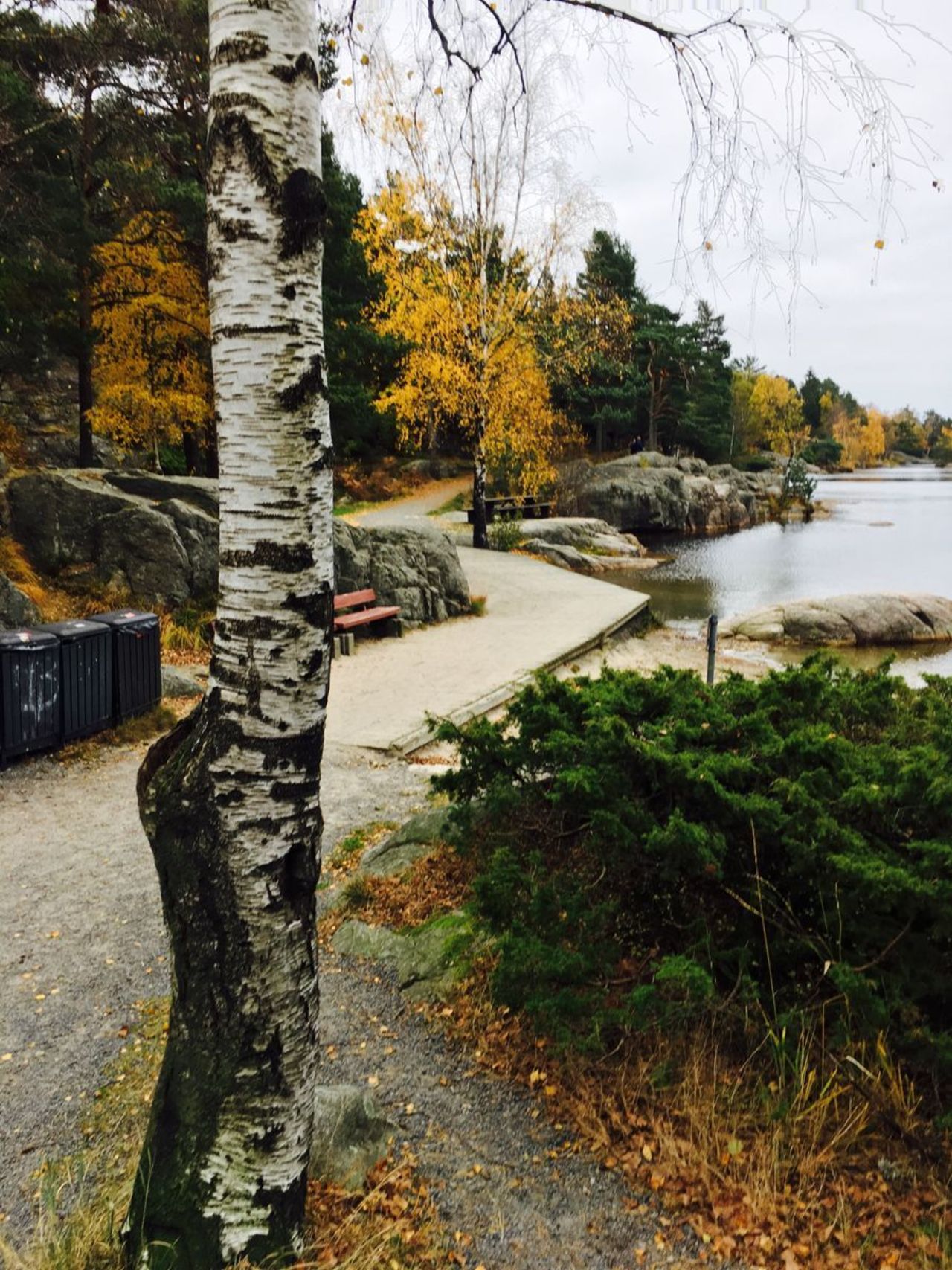
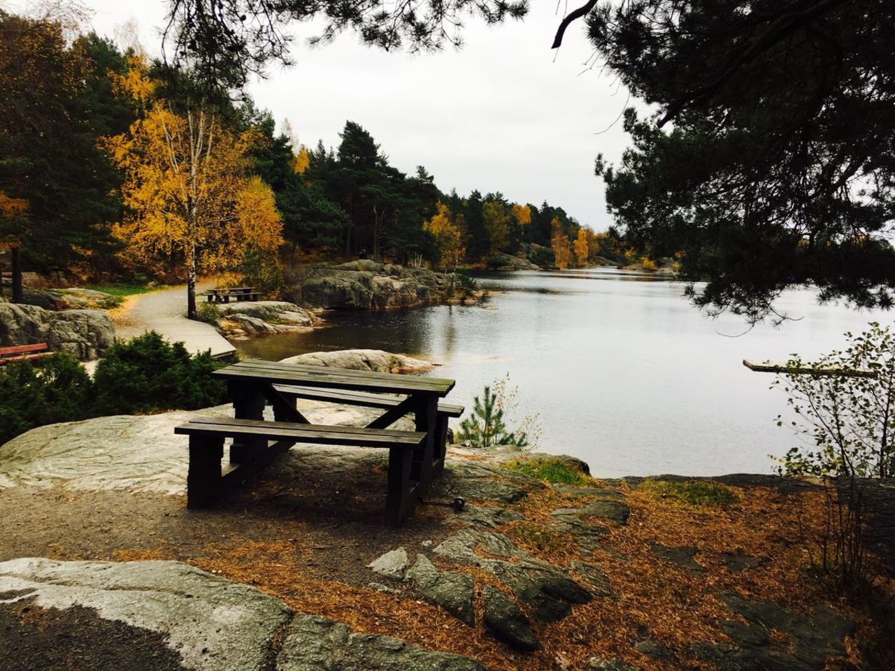
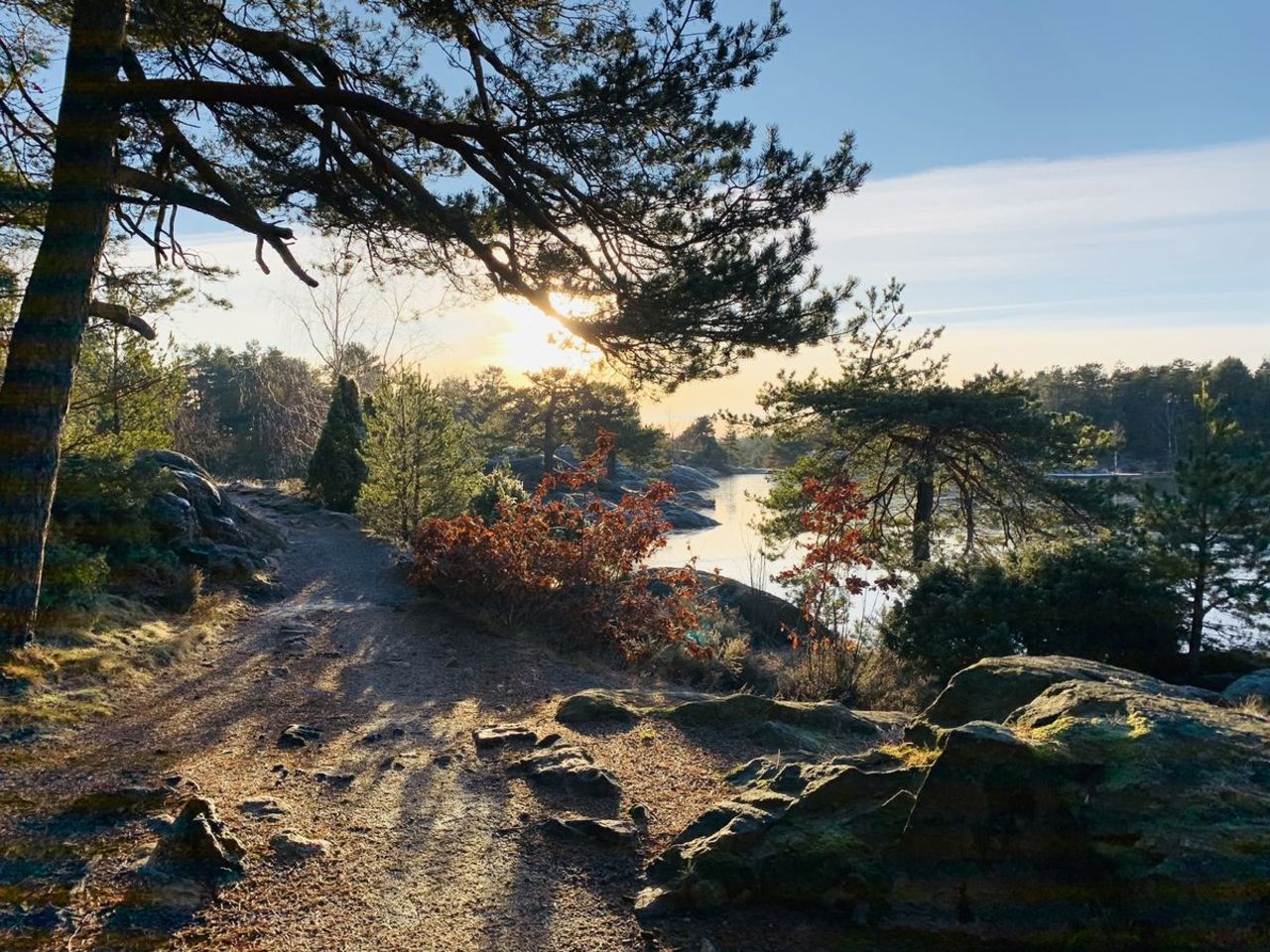
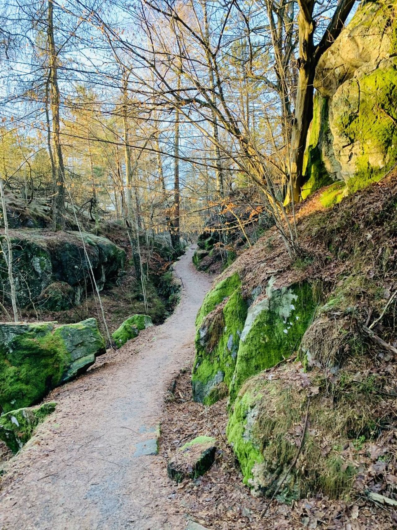
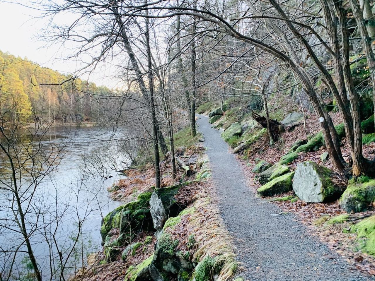
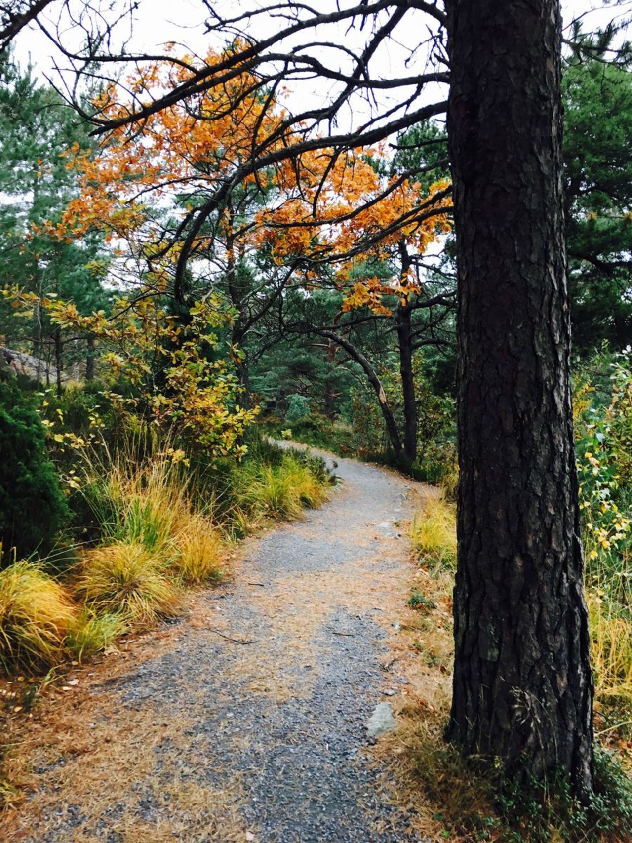
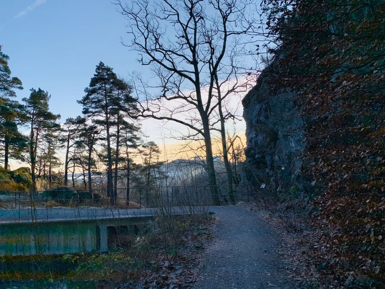
Bonesjon or in Norwegian – Bånetjønn lake trail – is the most popular nature trail in Kristiansand. The trail is located right next to the centre of the city – in the nearby nature area with a wide network of trails. Here you can enjoy a magnificent view to the city, at the same time enjoying peace and beautiful nature. A relatively easy trail, accessible to parents with baby strollers. For wheelchair users the trail is recommended with the “outdoors wheelchair”, as there are several steep ups and downs and might be some tree roots on the way.
Accessibility
Facilities
Download the GPX of the trail
In order to open the GPX file with the trail route on a mobile phone or computer, please install one of the hiking apps or maps, e.g., Wikiloc, Outdooractive, ViewRanger, OS Maps or any other GPX file reading programme or application.
7 Photos
Close

Starting point:
Parking lot Stampa parkering
GPS coordinates:
Lat:58.1551687, Lon:7.9872155Hiking time:
1 h

Distance:
3 km

Marking:
The trail stretches around the lake, follow signs to Bånetjønn lake

Type:
Loop

Surface:
Asphalt (at the start), gravel
Getting there:
With a car, with a public transport

Info:
Kristiansand Tourist Info Centre
Nearby shops:
Kristiansand

Nearby gas stations:
Kristiansand
Description:
Bonesjon or in Norwegian – Bånetjønn lake trail – is the most popular nature trail in Kristiansand. The trail is located right next to the centre of the city – in the nearby nature area with a wide network of trails. Here you can enjoy a magnificent view to the city, at the same time enjoying peace and beautiful nature. A relatively easy trail, accessible to parents with baby strollers. For wheelchair users the trail is recommended with the “outdoors wheelchair”, as there are several steep ups and downs and might be some tree roots on the way.
Accessibility
Facilities
Download the GPX of the trail
In order to open the GPX file with the trail route on a mobile phone or computer, please install one of the hiking apps or maps, e.g., Wikiloc, Outdooractive, ViewRanger, OS Maps or any other GPX file reading programme or application.
7 Photos
Close