
Vaata raja video:
Kirjeldus:
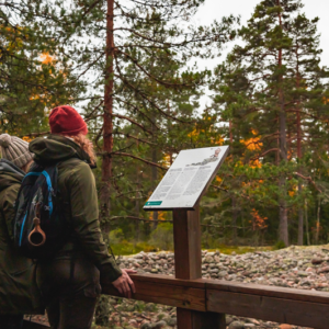
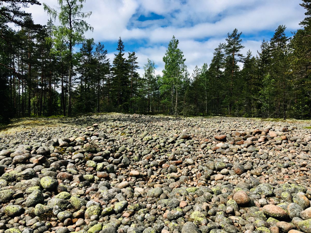
Teijo rahvuspargi tõmbenumbrite hulka kuuluvad järved ja metsad, aga ka ajaloolised metallitöökülad, kus traditsiooniline käsitöö endiselt õitseb. Hea aimduse Teijost saate päevareisiga, külastades Jeturkasti ja Kariholma ligipääsetavaid matkaradasid. Kes soovib aga jääda kauemaks, see leiab hubase majutuse Mathildedali ja Kirjakkala küladest.
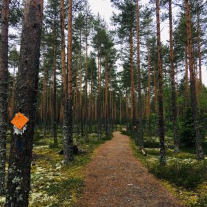
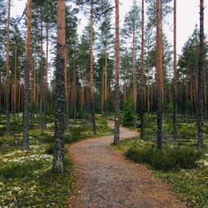
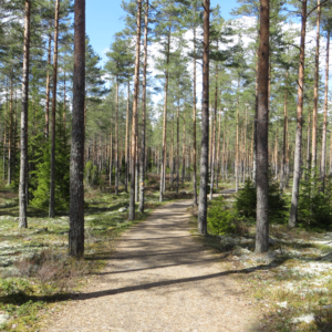
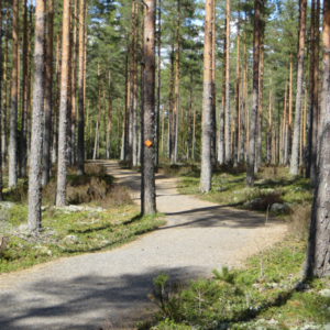
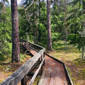
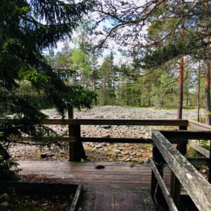
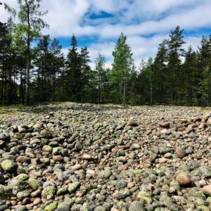
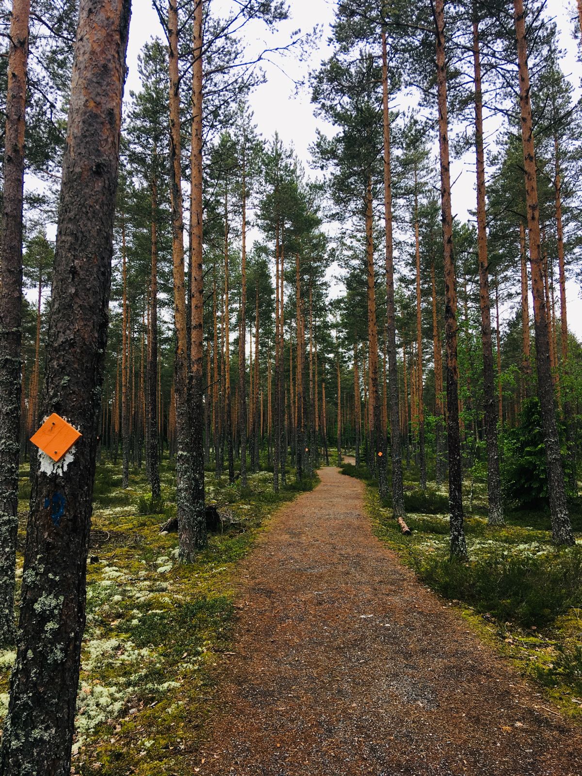
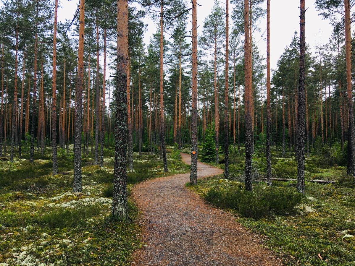
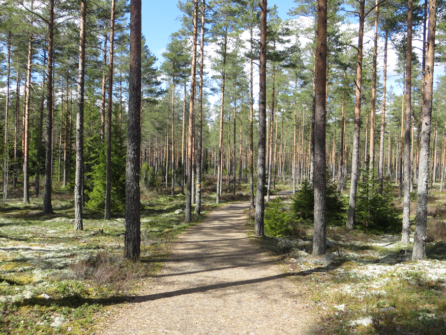
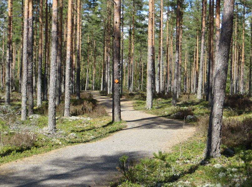
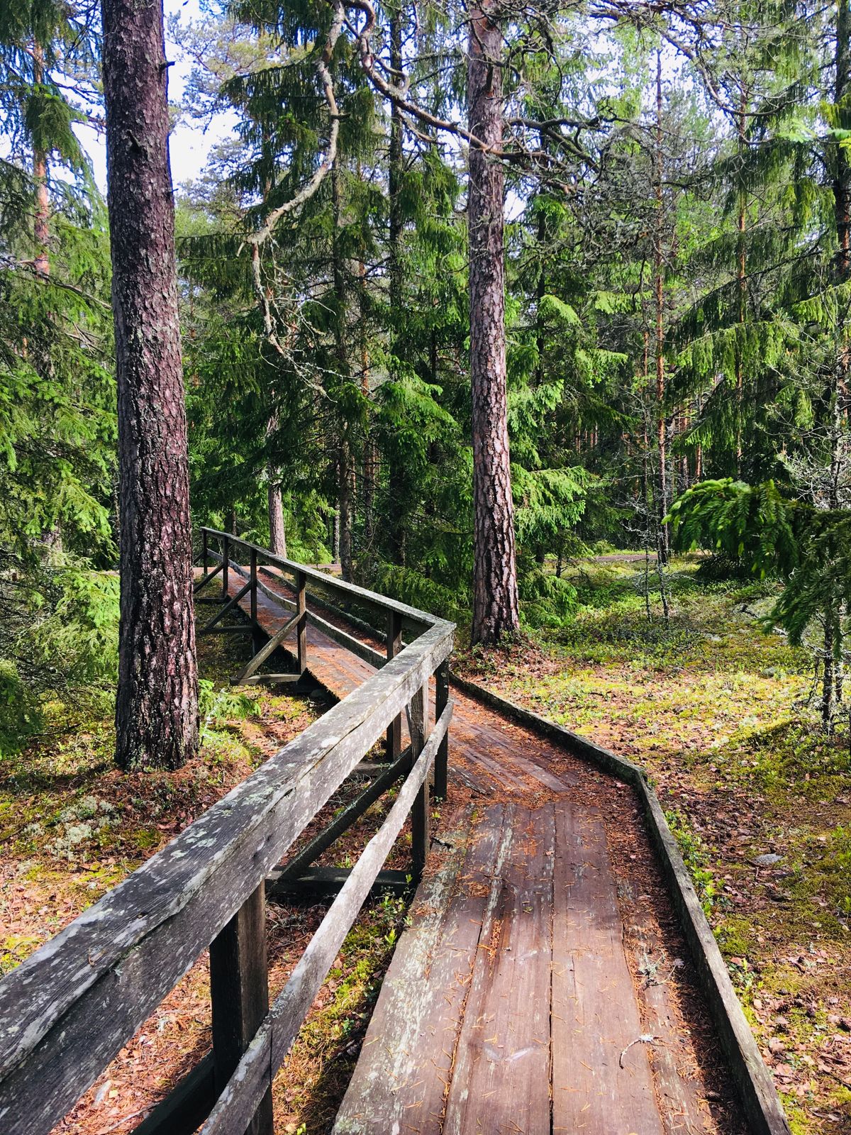
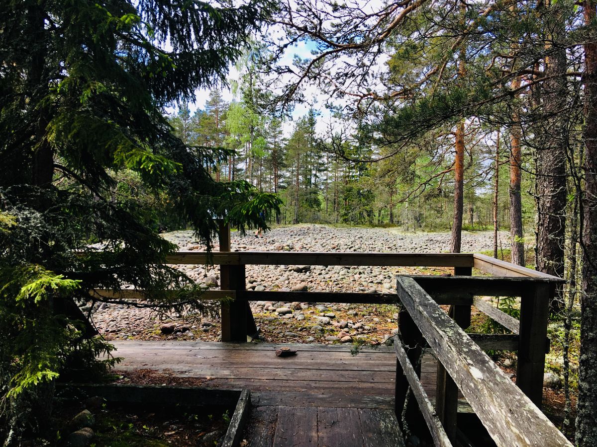
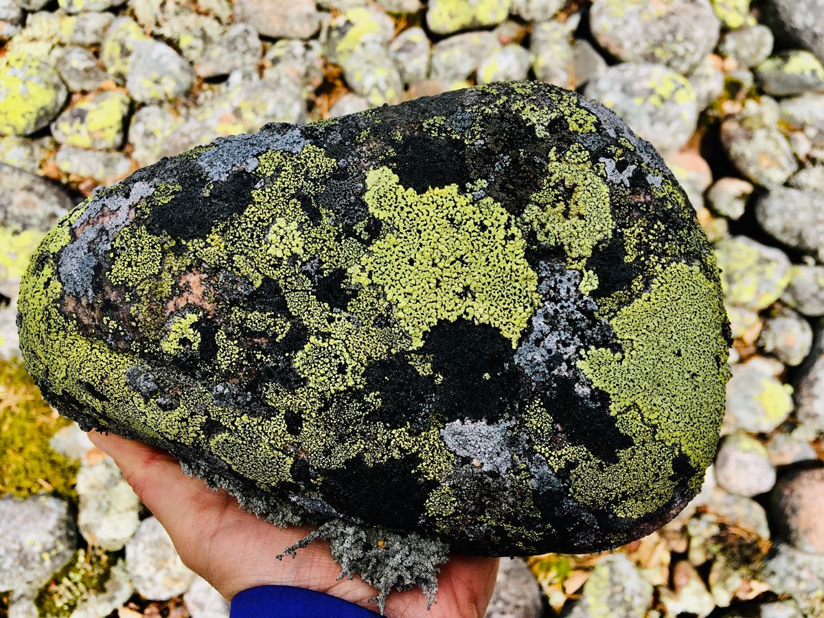
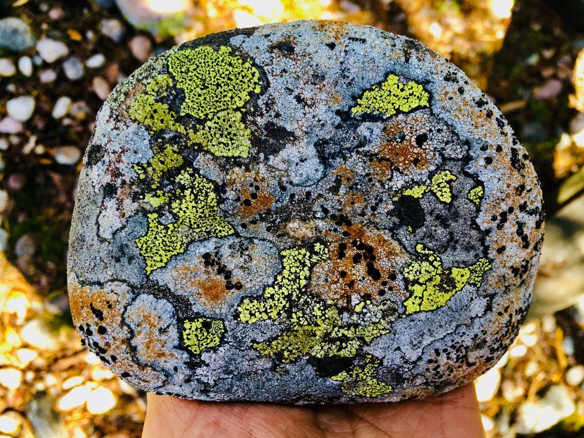
700 m pikk Jeturkasti matkarada (laiusega 2 m) lõpeb iidses mererannas. Tõusude ja languste tõttu on ratastooliga liikudes vajalik saatja abi. Raja ääres on mõned pingid. Merekaldal asub laudtee (17 m pikk, 1 m lai) lõpus väike vaateplatvorm (1,5 x 4,2 m).
Accessibility
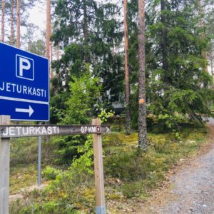
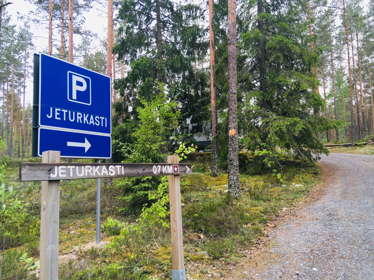
How to get there: Arriving from Helsinki along the main road 51 you take the road 52 to the right at Tammisaari. After 32 km you reach the centre of Perniö commune where you turn to the left to the road 183. From there you follow the signs to the Teijo National Park, Matildanjärvi. You find the Jeturkasti parking lot about 2,2 km before the Mathildedal iron works village. There are signs to the Jeturkasti parking lot. Arriving from Turku and Salo drive on the road 1824 which goes along the coast from the town of Salo to the municipality of Kemiönsaari. On the way there are signs to Kirjakkala iron works village and road passes the Teijo iron works village before reaching Mathildedal iron works village. From there you continue Skoilantie for about 2,2 km – do not turn to the Teijo National Park, Matildanjärvi. There are signs to the Jeturkasti parking lot.
Facilities
No trash bins. Closest accessible toilet is at the Nature Centre of the Teijo National Park, at Matildanjärvi, 2 km towards the Mathildedal village from the Jeturkasti parking lot.
Rules to follow
Download the GPX of the trail
In order to open the GPX file with the trail route on a mobile phone or computer, please install one of the hiking apps or maps, e.g., Wikiloc, Outdooractive, ViewRanger, OS Maps or any other GPX file reading programme or application.
12 Fotod
Sulge

Photos: Alise Lūse, Jasmin Yuchun
Location:
Teijo National Park, Salo
Suggested starting point:
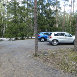
Jeturkasti parking lot, Skoilantie 354
GPS coordinates:
Lat:60.20021, Lon:22.9363Hiking time:
0,5 h (one direction)

Distance:
0,65 km (one direction)

Marking:
Marked with orange wooden squares

Trail surface:
Mainly gravel (2 m in width); wooden baordwalk (1,05 m in width)

Type:
Out-and-back
Getting there:
With a car

Trail administrator:
Metsähallitus, Parks & Wildlife Finland, Coastal and Metropolitan Area, nationalparks.fi/contactus
Info:
Teijo Nature Centre, T: +358 (0)10 292 4032, E: info@naturaviva.fi, www.naturaviva.fi; E: rannikko@metsa.fi , www.nationalparks.fi/teijo; Facebook: Teijon kansallispuisto - Teijo Nationalpark; Instagram: @finnishparks
Closest shops, gas stations:
Teijo
Slope:
Along the trail to Jeturkasti ancient shore there are 3 streches where steepness is over 8 %. Close to the parking lot there is a 12 % rise, lenght 18 m. Next rise is 30 m long, 11 % and close to the ancient sea shore you get down for 36 m, steepness being 12 %.
Vaata raja video:
Kirjeldus:
Teijo rahvuspargi tõmbenumbrite hulka kuuluvad järved ja metsad, aga ka ajaloolised metallitöökülad, kus traditsiooniline käsitöö endiselt õitseb. Hea aimduse Teijost saate päevareisiga, külastades Jeturkasti ja Kariholma ligipääsetavaid matkaradasid. Kes soovib aga jääda kauemaks, see leiab hubase majutuse Mathildedali ja Kirjakkala küladest.
700 m pikk Jeturkasti matkarada (laiusega 2 m) lõpeb iidses mererannas. Tõusude ja languste tõttu on ratastooliga liikudes vajalik saatja abi. Raja ääres on mõned pingid. Merekaldal asub laudtee (17 m pikk, 1 m lai) lõpus väike vaateplatvorm (1,5 x 4,2 m).
Accessibility
How to get there: Arriving from Helsinki along the main road 51 you take the road 52 to the right at Tammisaari. After 32 km you reach the centre of Perniö commune where you turn to the left to the road 183. From there you follow the signs to the Teijo National Park, Matildanjärvi. You find the Jeturkasti parking lot about 2,2 km before the Mathildedal iron works village. There are signs to the Jeturkasti parking lot. Arriving from Turku and Salo drive on the road 1824 which goes along the coast from the town of Salo to the municipality of Kemiönsaari. On the way there are signs to Kirjakkala iron works village and road passes the Teijo iron works village before reaching Mathildedal iron works village. From there you continue Skoilantie for about 2,2 km – do not turn to the Teijo National Park, Matildanjärvi. There are signs to the Jeturkasti parking lot.
Facilities
No trash bins. Closest accessible toilet is at the Nature Centre of the Teijo National Park, at Matildanjärvi, 2 km towards the Mathildedal village from the Jeturkasti parking lot.
Rules to follow
Download the GPX of the trail
In order to open the GPX file with the trail route on a mobile phone or computer, please install one of the hiking apps or maps, e.g., Wikiloc, Outdooractive, ViewRanger, OS Maps or any other GPX file reading programme or application.
12 Fotod
Sulge
Photos: Alise Lūse, Jasmin Yuchun