Žibgrava Nature Trail
Nature trails, Audio info available, Accessible, Accessible to parents with baby-strollers, Accessible toilet

Object list
Listen to trail audio
Trail’s Relive video
Video with the Suiti women
Description:
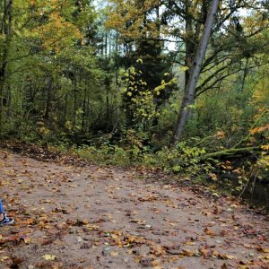
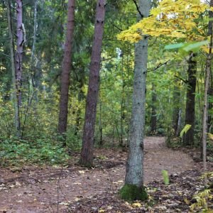
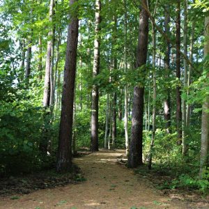
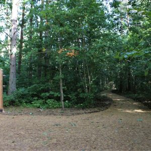
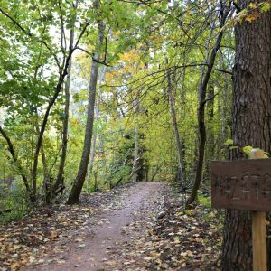
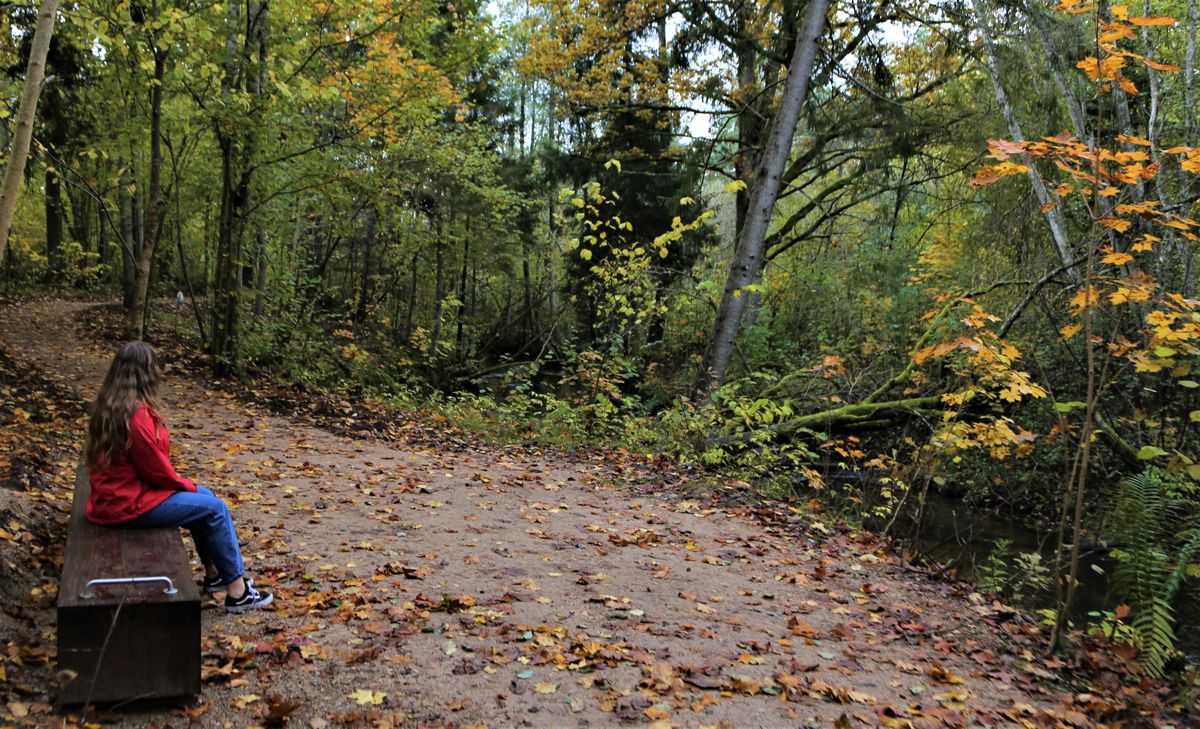
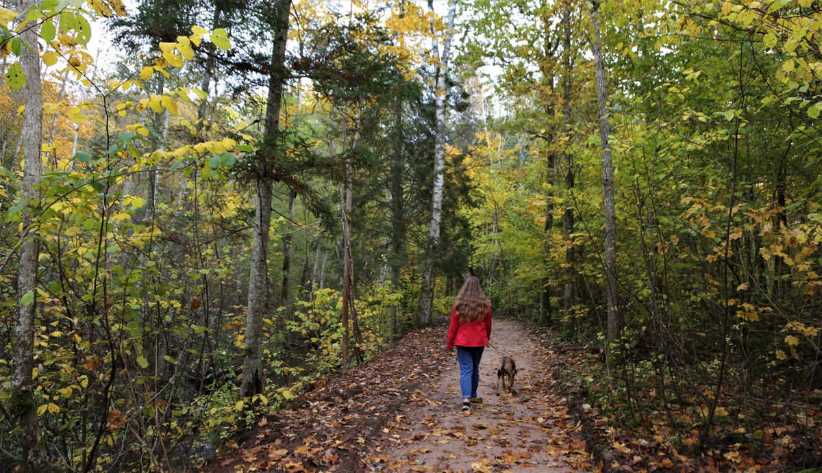
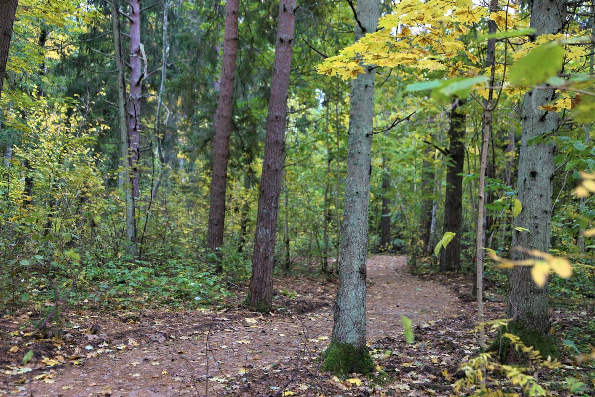
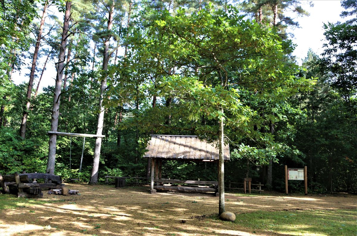
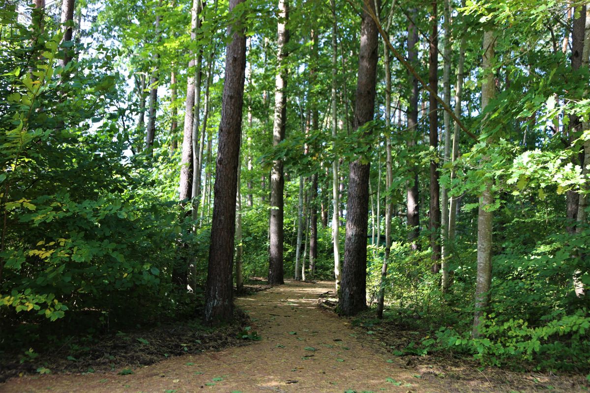
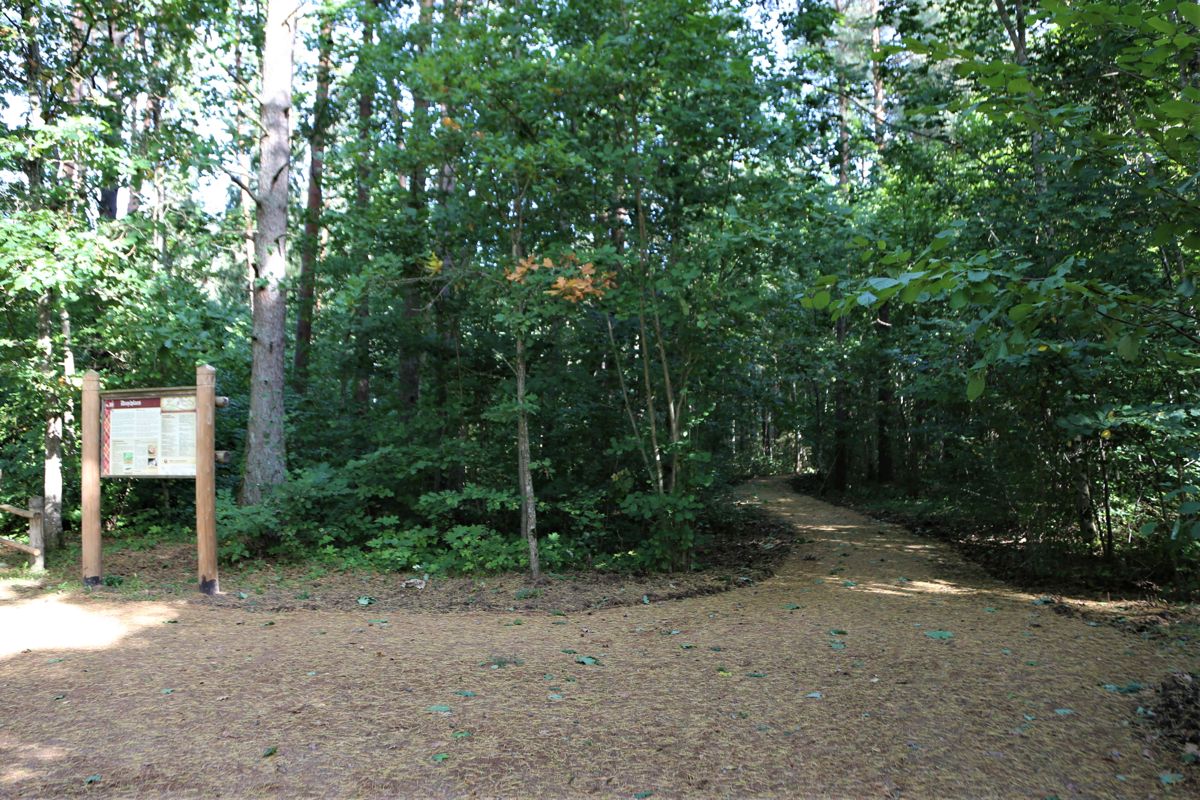
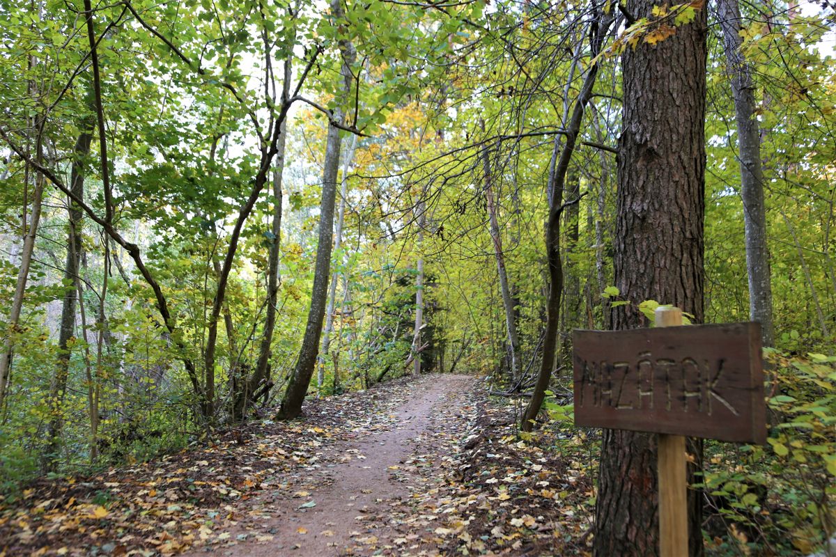
Žibgrava trail is noticeable because of its ravine – at some points its height reaches 15 m. The route stretches through the hilly forest terrain along the picturesque, winding coast of the River Kauliņupīte on two loops – the long loop and the short loop. Ten information stands along the long loop provide catchy information on the plants and animals present here, legends and riddles related to Suiti dialect, revealing correct answers at every next stand. The short loop is called Mazātak and this part of the trail shall be accessible also to wheelchair users.
Accessibility
Only the short loop of the trail (Mazātak) is accessible to wheelchair users
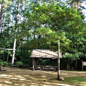
Facilities
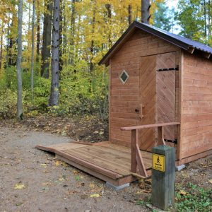
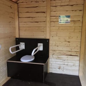
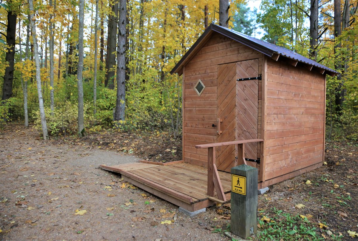
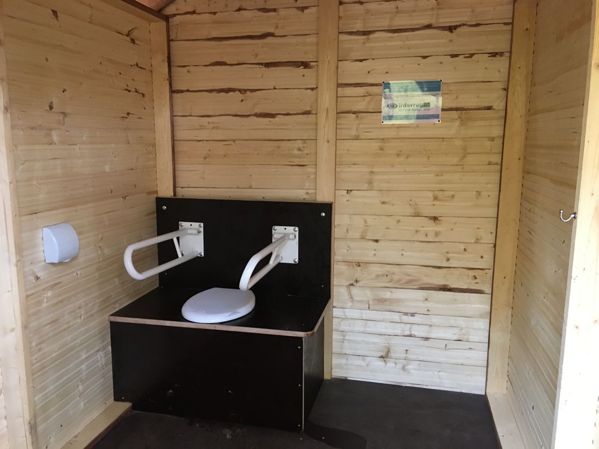
Dry toilet at small loop, accessible.
Part of the long trail may be flooded during the rainy periods, appropriate footwear is advisable.
Rules to follow
Download the GPX of the trail
In order to open the GPX file with the trail route on a mobile phone or computer, please install one of the hiking apps or maps, e.g., Wikiloc, Outdooractive, ViewRanger, OS Maps or any other GPX file reading programme or application.
10 Photos

Close
Location:
Alsunga

Suggested starting point:
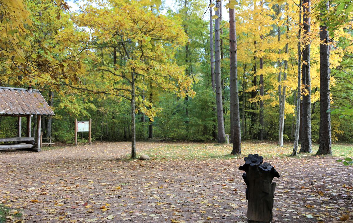
Parking lot at the resting place Dančplacs on Mazātak loop
GPS coordinates:
Lat:56.98412,Lon:21.58400Hiking time:
Short loop – 20 min, whole trail – 1 h

Distance:
Short loop – 0,5 km, whole trail – 1,5 km

Marking:
Direction signs and poles

Type:
Loop

Trail surface:
Forest path. Gravel at the short loop (1,5 m wide).
Getting there:
With a car

Trail administrator:
Alsunga County Municipality, T: +371 26425015, E: muzejs@alsunga.lv
Info:
Alsunga Tourism Information and Historical Heritage Centre, 11a Skolas Street, Alsunga, T: +371 26425015, muzejs@alsunga.lv, www.alsunga.lv
Closest shops, gas stations:
Alsunga
Slope:
There is a slight slope on one stretch of the Short loop (behind the toilet). The long loop is highly challenging because of the area terrain and slopes significantly exceed 8%, therefore this loop is not recommended to wheelchairs users and parents with baby-strollers.
Listen to trail audio
Trail’s Relive video
Video with the Suiti women
Description:
Žibgrava trail is noticeable because of its ravine – at some points its height reaches 15 m. The route stretches through the hilly forest terrain along the picturesque, winding coast of the River Kauliņupīte on two loops – the long loop and the short loop. Ten information stands along the long loop provide catchy information on the plants and animals present here, legends and riddles related to Suiti dialect, revealing correct answers at every next stand. The short loop is called Mazātak and this part of the trail shall be accessible also to wheelchair users.
Accessibility
Only the short loop of the trail (Mazātak) is accessible to wheelchair users
Facilities
Dry toilet at small loop, accessible.
Part of the long trail may be flooded during the rainy periods, appropriate footwear is advisable.
Rules to follow
Download the GPX of the trail
In order to open the GPX file with the trail route on a mobile phone or computer, please install one of the hiking apps or maps, e.g., Wikiloc, Outdooractive, ViewRanger, OS Maps or any other GPX file reading programme or application.
10 Photos
Close