Užava Creek beach boardwalk
Nature trails, Accessible to parents with baby-strollers, Partly accessible
Object list
Watch the trail video:
Description:
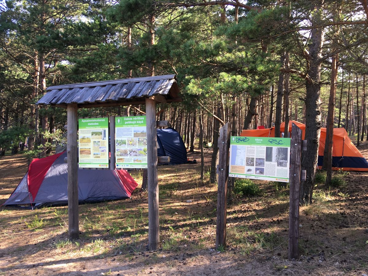
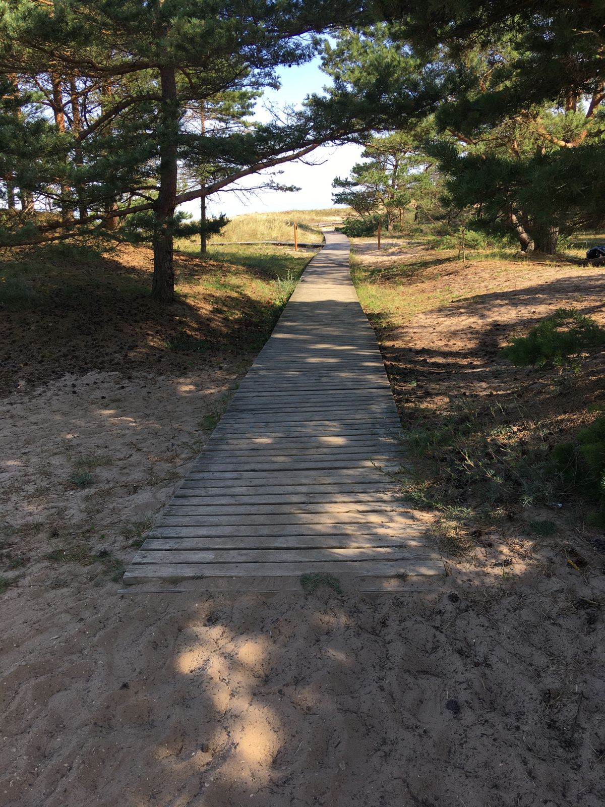
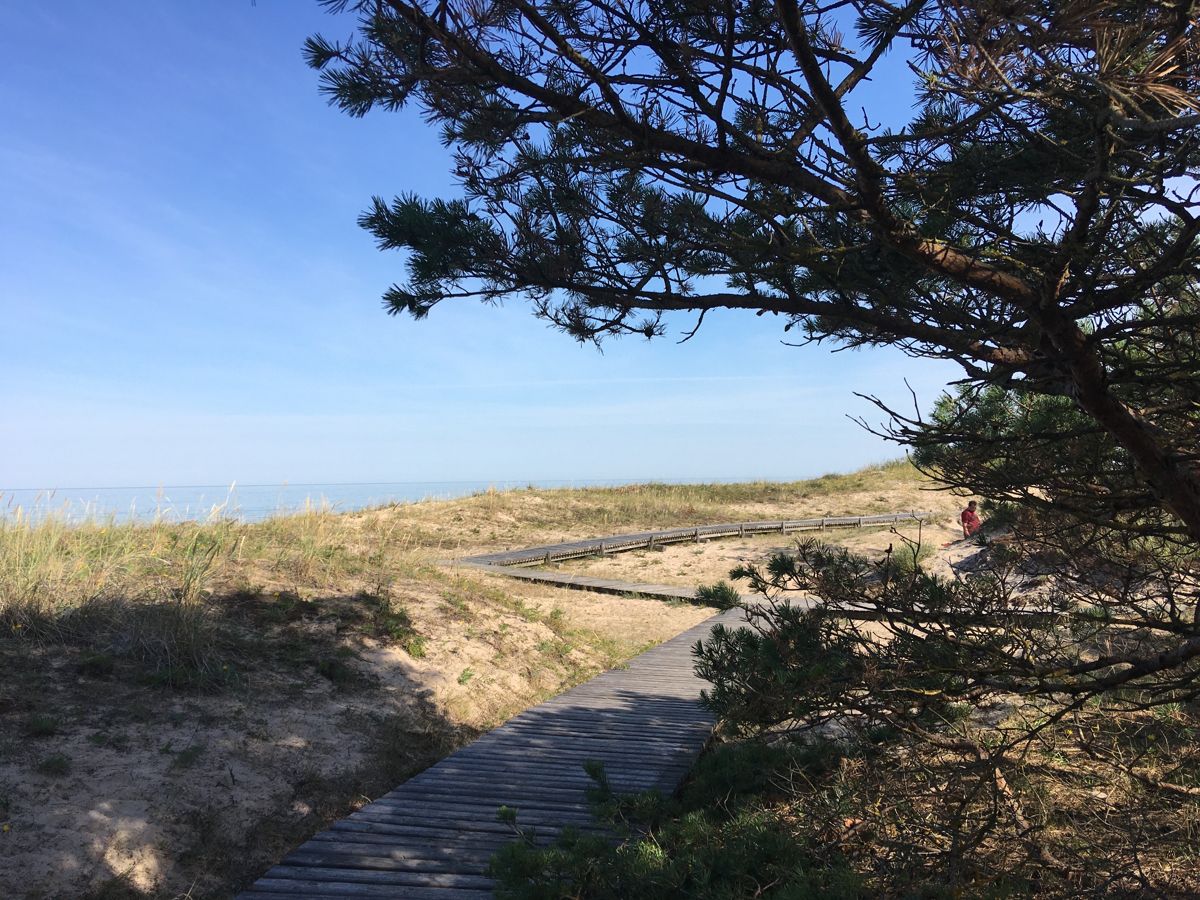
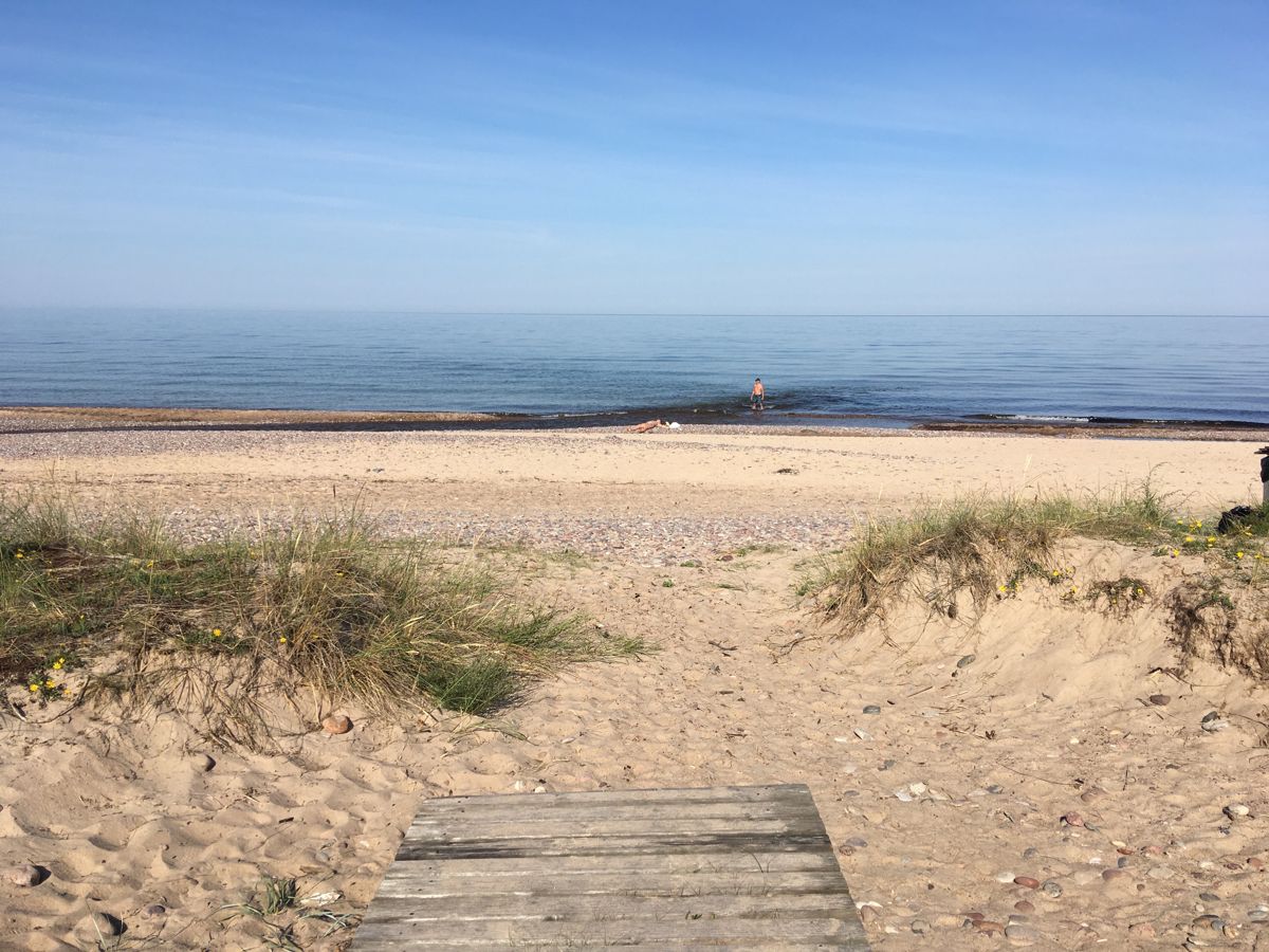
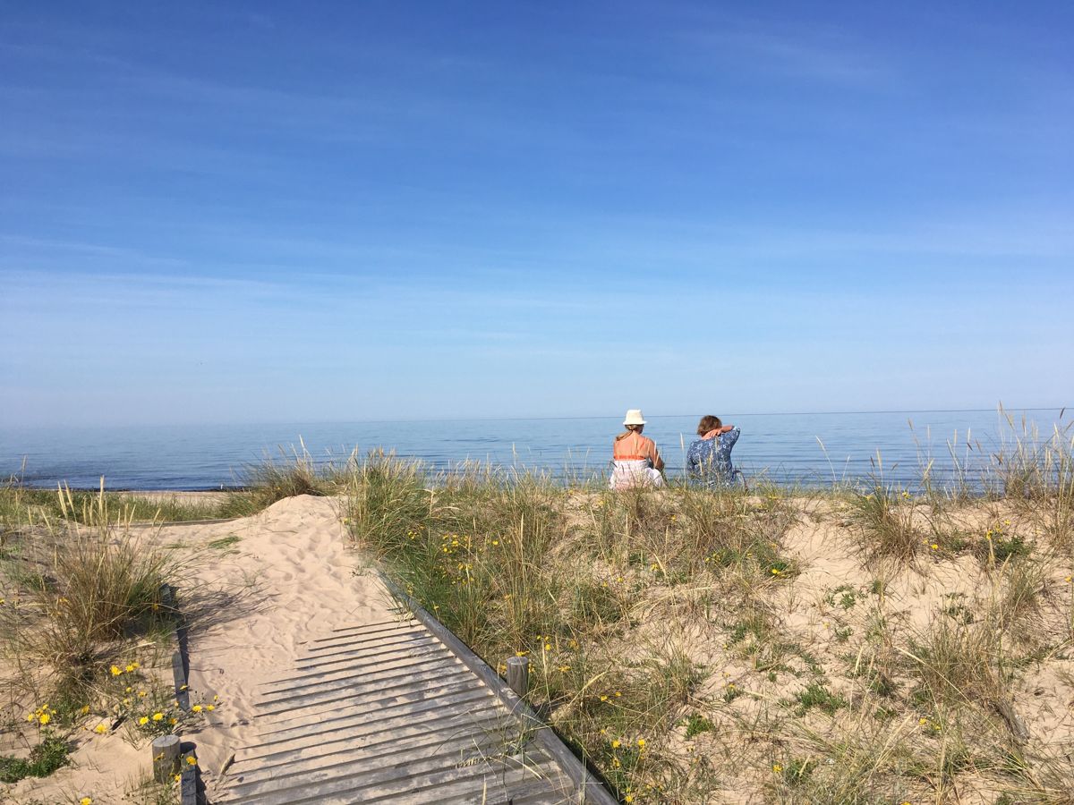
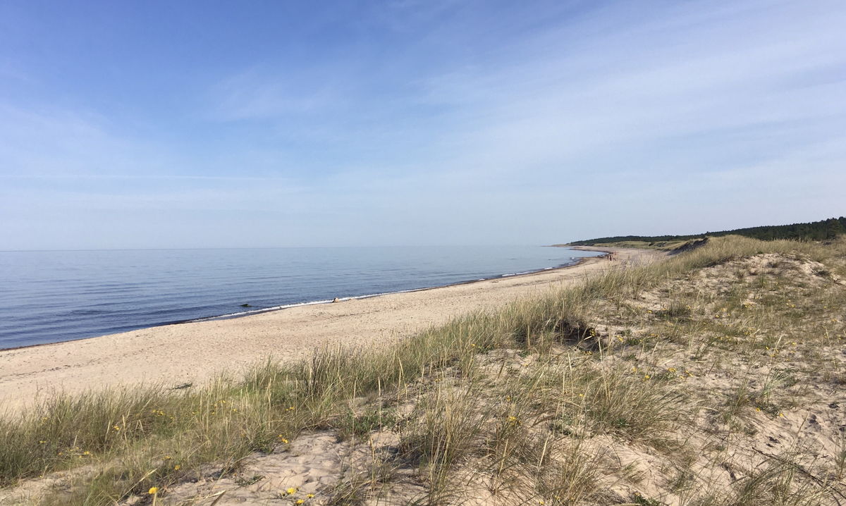
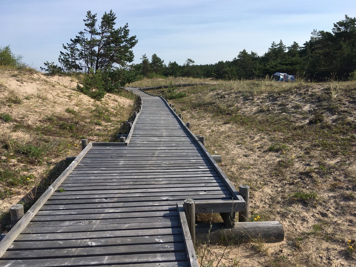
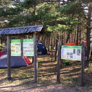
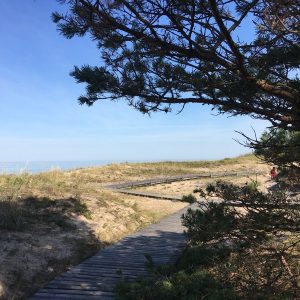
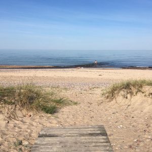
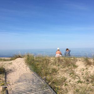
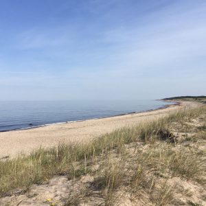
Užava is one of the oldest settlement locations on the Baltic Sea coast. The boardwalk starts at the Užava River mouth, where the river flows into the sea and allows to see the unique values of the Nature Reserve – the gray dunes and rare species of plants, moss, lichens, birds. There is a parking lot with a nice resting, picnic and tenting area nearby, though not adapted to people in wheelchairs. The beach sand area is not accessible, so it will not be possible to reach the water in a wheelchair.
Accessibility
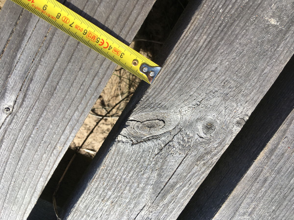
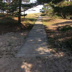
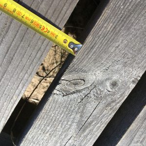
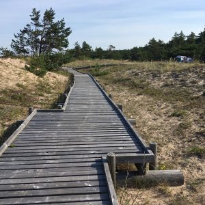
Gravel in the start of the path at the parking lot area and sand just in front of the boardwalk – assistant is recommended for wheelchair users. On the second stretch of the boarwalk space between planks exceeds 3cm.
Facilities
Rules to follow
Download the GPX of the trail
In order to open the GPX file with the trail route on a mobile phone or computer, please install one of the hiking apps or maps, e.g., Wikiloc, Outdooractive, ViewRanger, OS Maps or any other GPX file reading programme or application.
8 Photos


