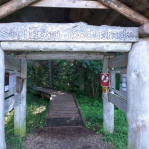
RMK Sõõriksoo Nature Trail
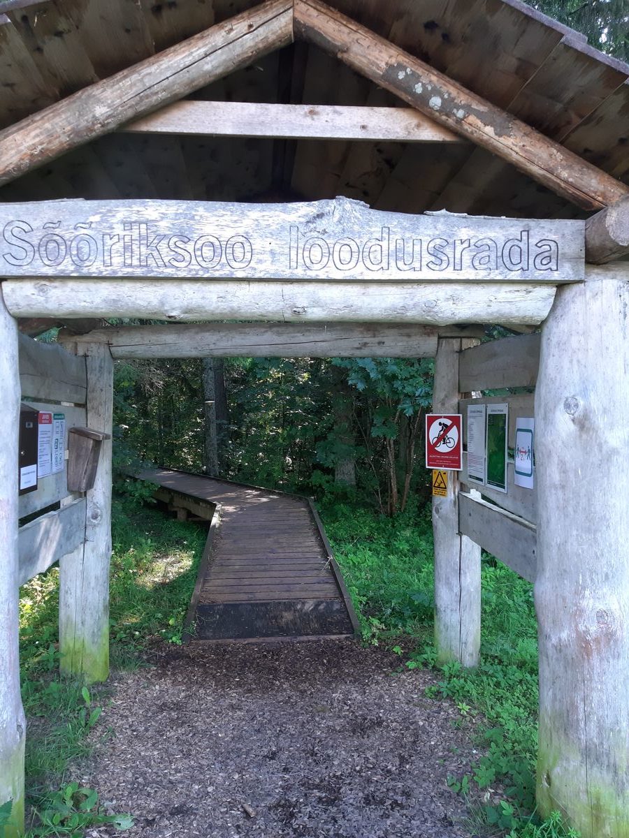
Nature trails, Accessible, Accessible to parents with baby-strollers
Object list
Listen to trail audio
Watch the trail video:
Description:
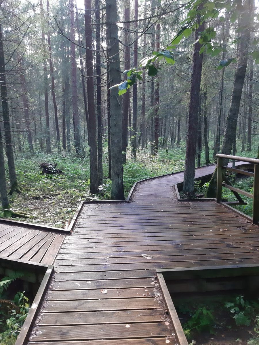
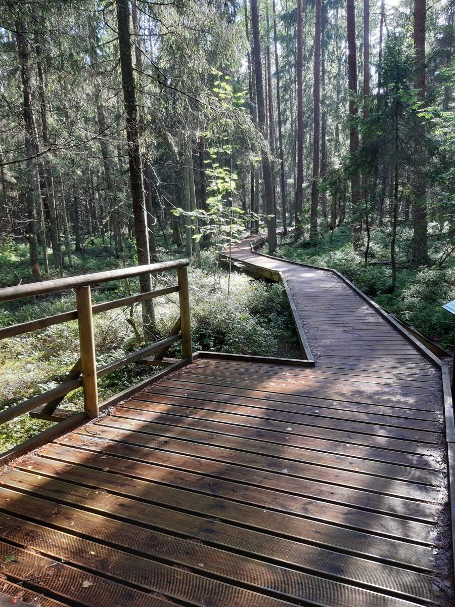
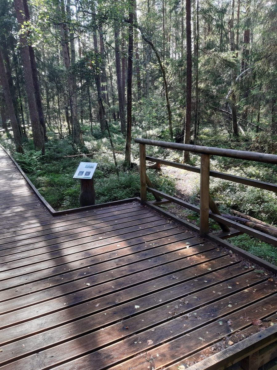
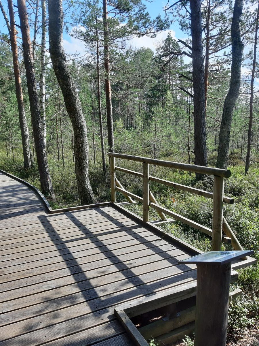
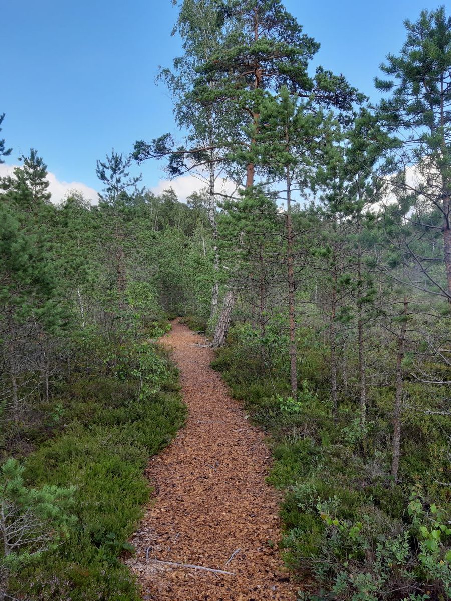
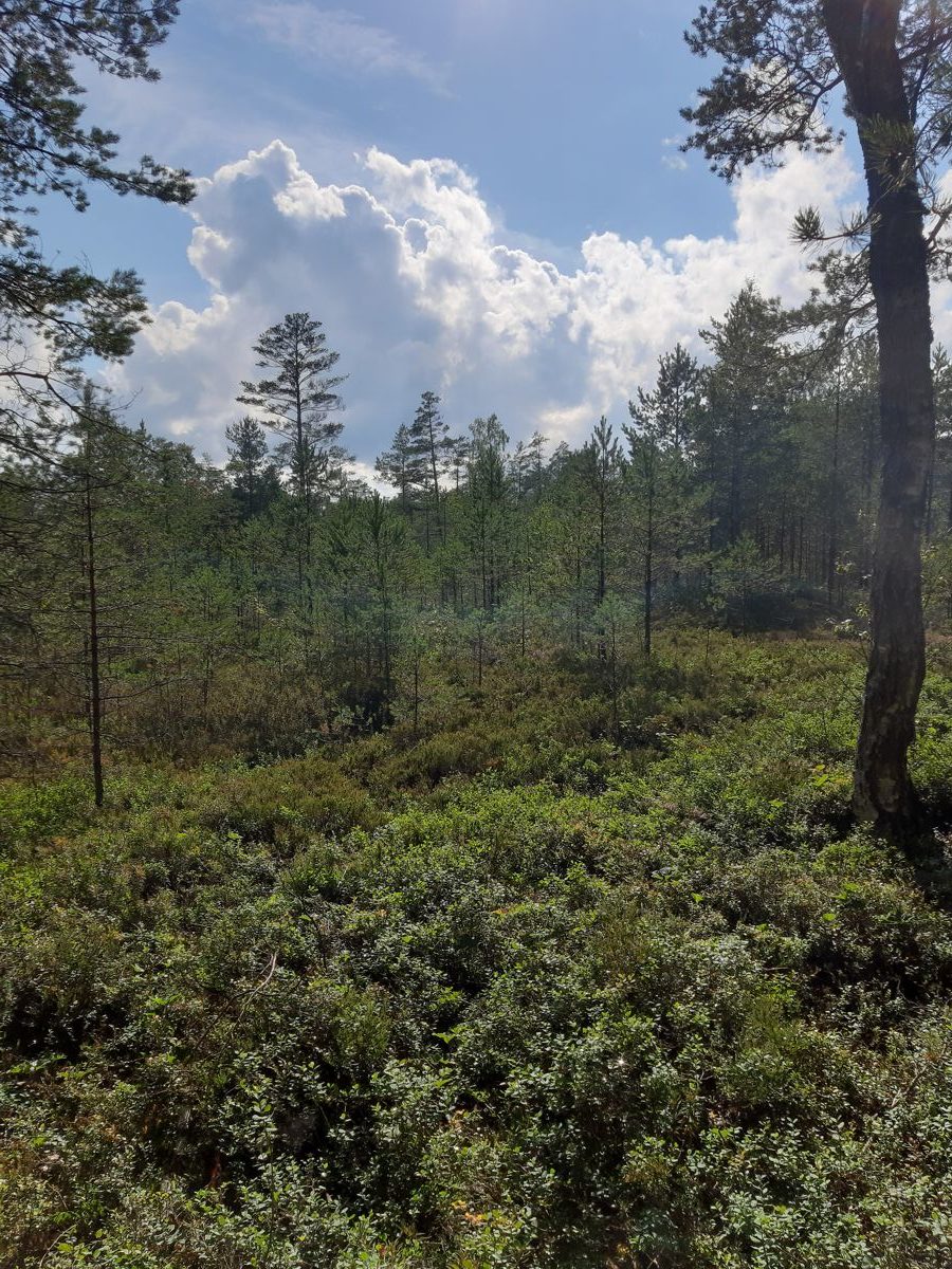
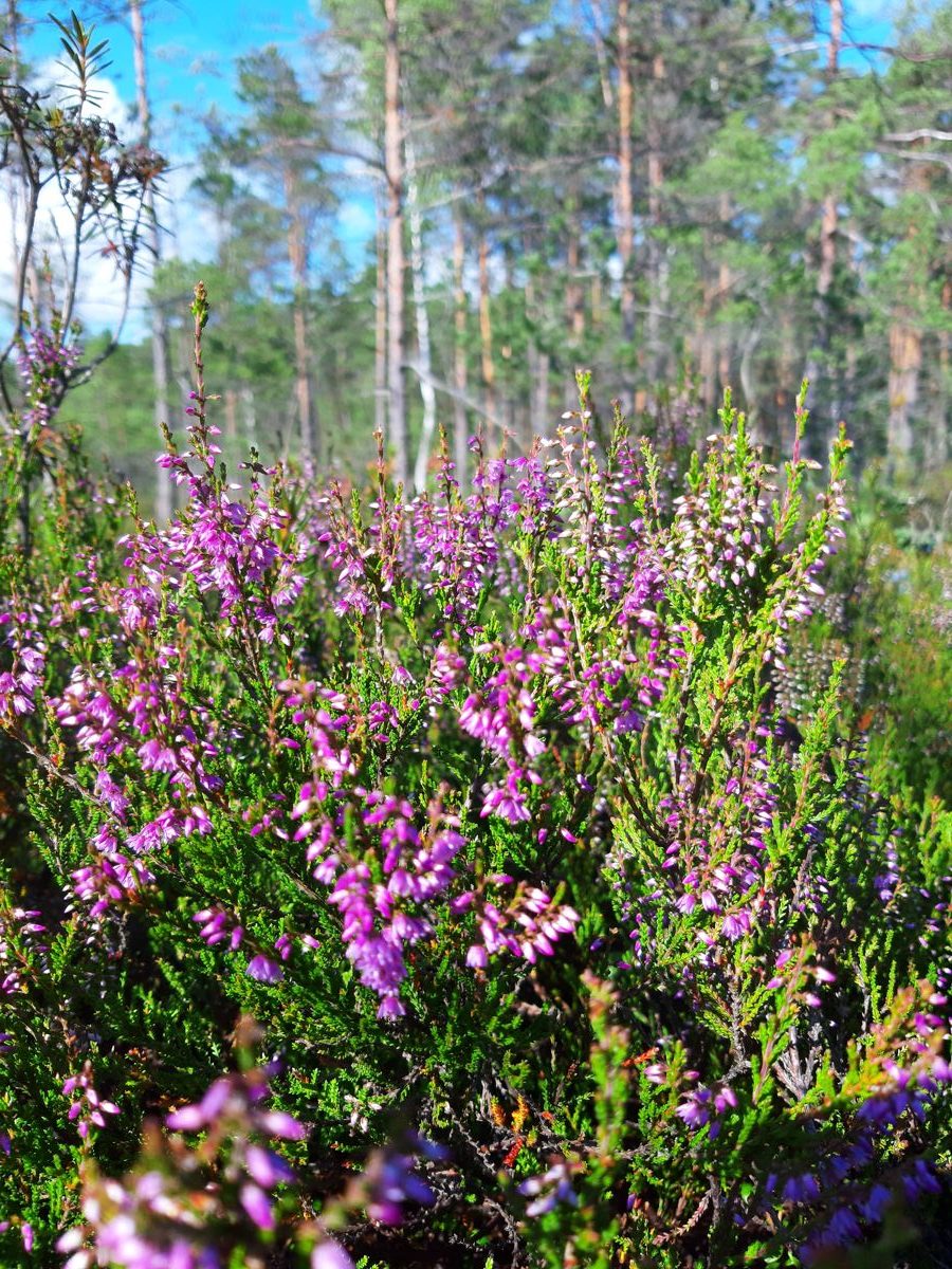
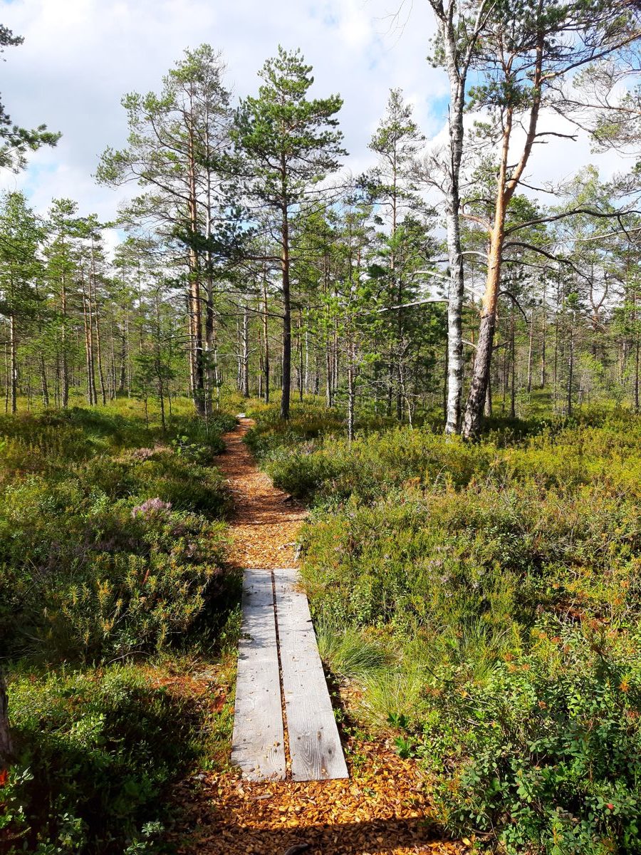
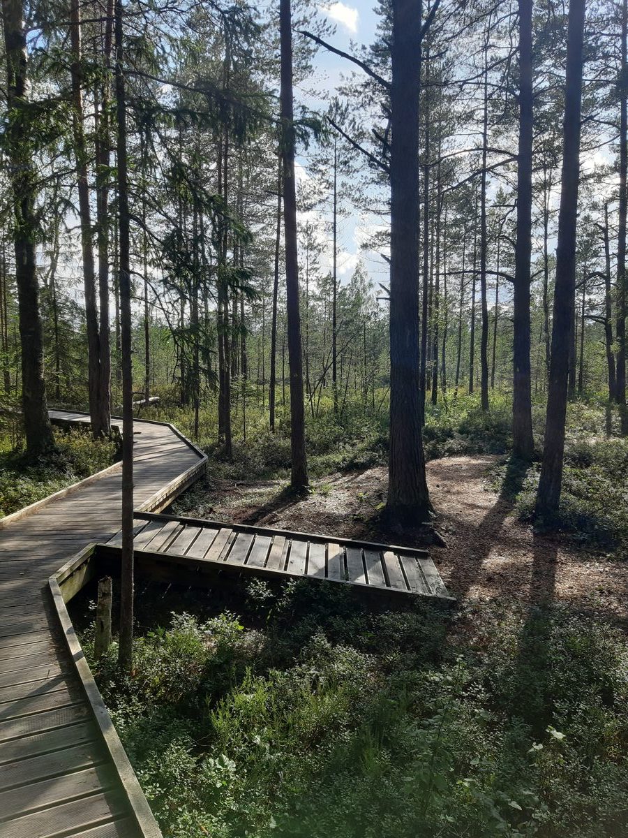
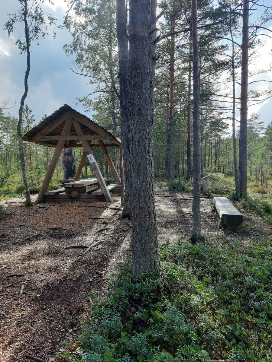
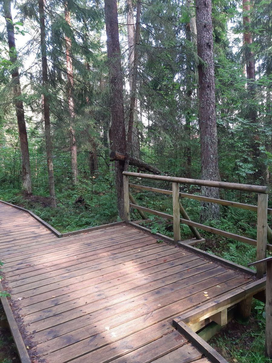
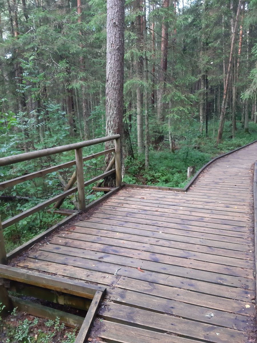
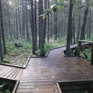
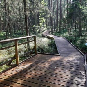
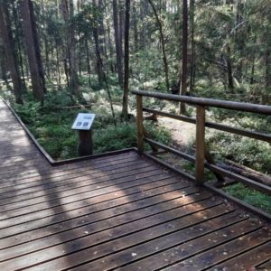
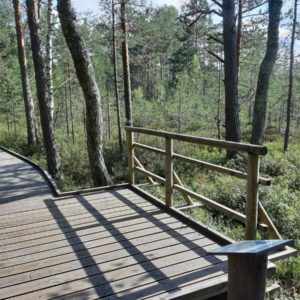
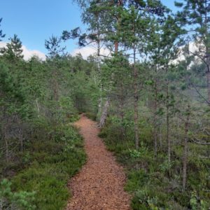
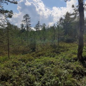
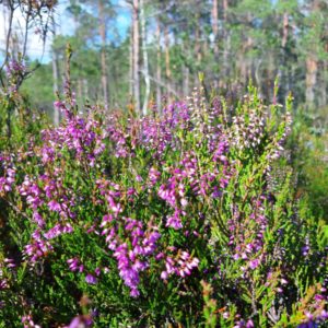
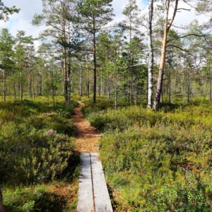
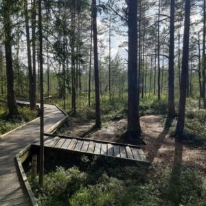
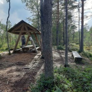
The trail is located in the immediate vicinity of the Aegviidu Visitor Centre. On the trail you can see damp forests and bog landscapes. Cranberry, sundews, tussock cottongrass, white beak-sedge, cloudberry and other plants characteristic to bogs grow here.
Accessibility
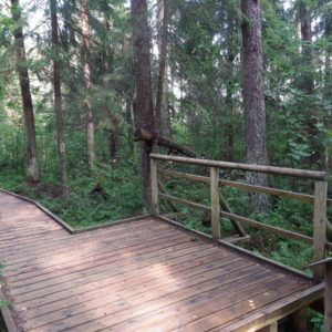
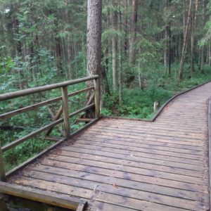
0,7 km out of 1,5 km is accessible to wheelchair users and parents with baby strollers
Facilities
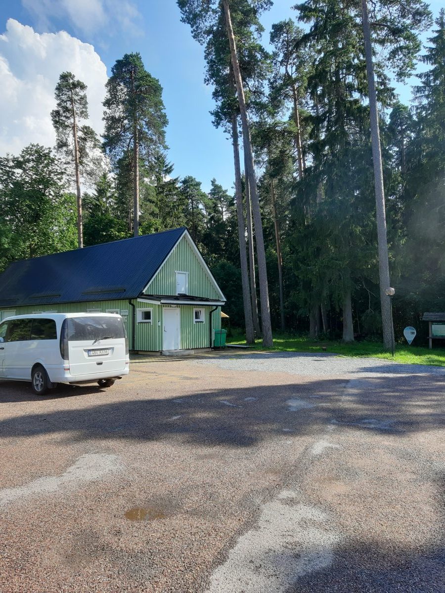
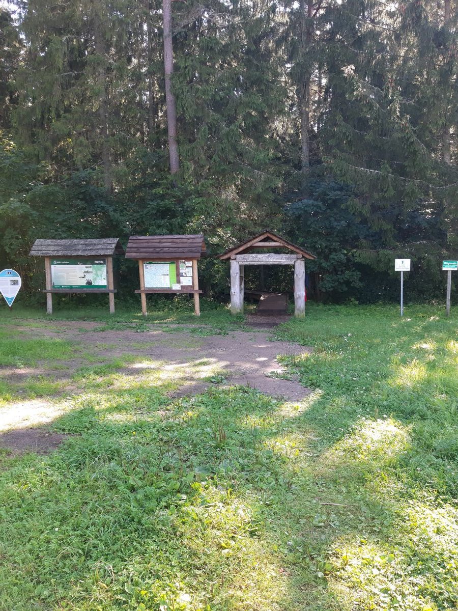
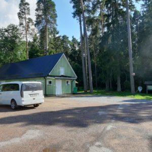
How to get there: On Jägala–Käravete road (Road no. 13), 37 km from Jägala, turn left in the centre of Aegviidu (if coming from Tallinn), right after the Aegviidu bus station and follow the sign “Aegviidu külastuskeskus” to the parking area of the Visitor Centre. This is where the nature trail starts.
Rules to follow
Download the GPX of the trail
In order to open the GPX file with the trail route on a mobile phone or computer, please install one of the hiking apps or maps, e.g., Wikiloc, Outdooractive, ViewRanger, OS Maps or any other GPX file reading programme or application.
16 Photos


