Kvernhusvannet nature trail (Norway)
Nature trails, Accessible to parents with baby-strollers, Accessible toilet, Parking lot for handicaps, Partly accessible

Object list
Description:
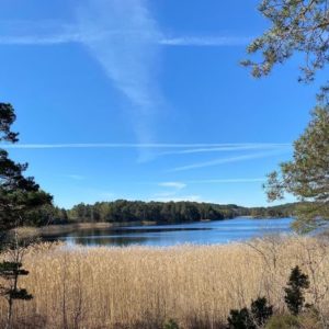
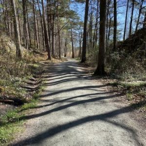
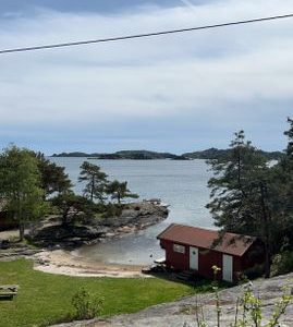
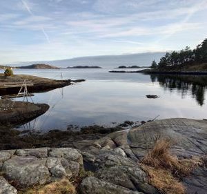
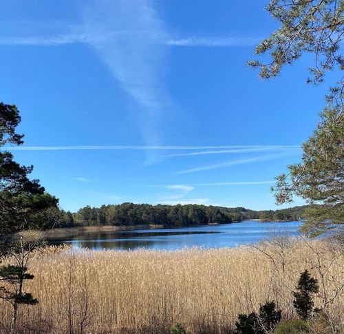
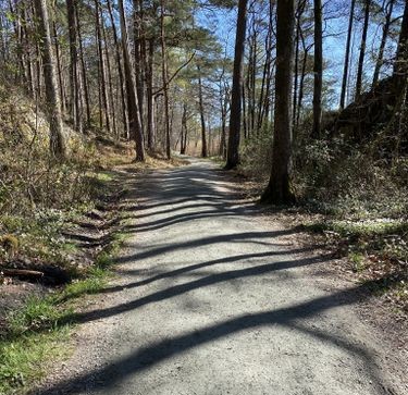
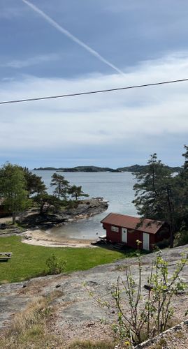
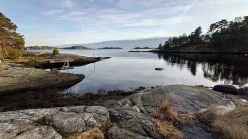
The most popular hiking, fitness and jogging trail in Søgne area. A loop-type trail created in 1993. Since then the trail has been improved several times and now is also accessible to “outdoor wheelchairs”. There are many birds in the area. On the north side of the lake an ancient stone settlement has been discovered. There are several swimming sites alog the trail – both, on the north side of the lake, as well as on the south, on the sea side. At Sandvig, which is located on the sea coast, it is possible to rent a cottage with sandy beach, lawn, toilet, grilling equipment and public pier.
Acessibility
Facilities
Download the GPX of the trail
In order to open the GPX file with the trail route on a mobile phone or computer, please install one of the hiking apps or maps, e.g., Wikiloc, Outdooractive, ViewRanger, OS Maps or any other GPX file reading programme or application.
4 Photos
Close

Starting point:
Parking lot on the crrossing of Arosveien and Krossnesveien Streets
GPS coordinates:
Lat:58.07528, Lon:7.8267651Hiking time:
1 h

Distance:
3.5 km

Marking:
The trail stretches around the lake, easy to follow

Type:
Loop

Surface:
Asphalt (at the start), gravel
Getting there:
With a car

Info:
Kristiansand Tourist Info Centre
Nearby shops:
Aros town

Nearby gas stations:
Aros town
Description:
The most popular hiking, fitness and jogging trail in Søgne area. A loop-type trail created in 1993. Since then the trail has been improved several times and now is also accessible to “outdoor wheelchairs”. There are many birds in the area. On the north side of the lake an ancient stone settlement has been discovered. There are several swimming sites alog the trail – both, on the north side of the lake, as well as on the south, on the sea side. At Sandvig, which is located on the sea coast, it is possible to rent a cottage with sandy beach, lawn, toilet, grilling equipment and public pier.
Acessibility
Facilities
Download the GPX of the trail
In order to open the GPX file with the trail route on a mobile phone or computer, please install one of the hiking apps or maps, e.g., Wikiloc, Outdooractive, ViewRanger, OS Maps or any other GPX file reading programme or application.
4 Photos
Close