Karpalopolku Trail
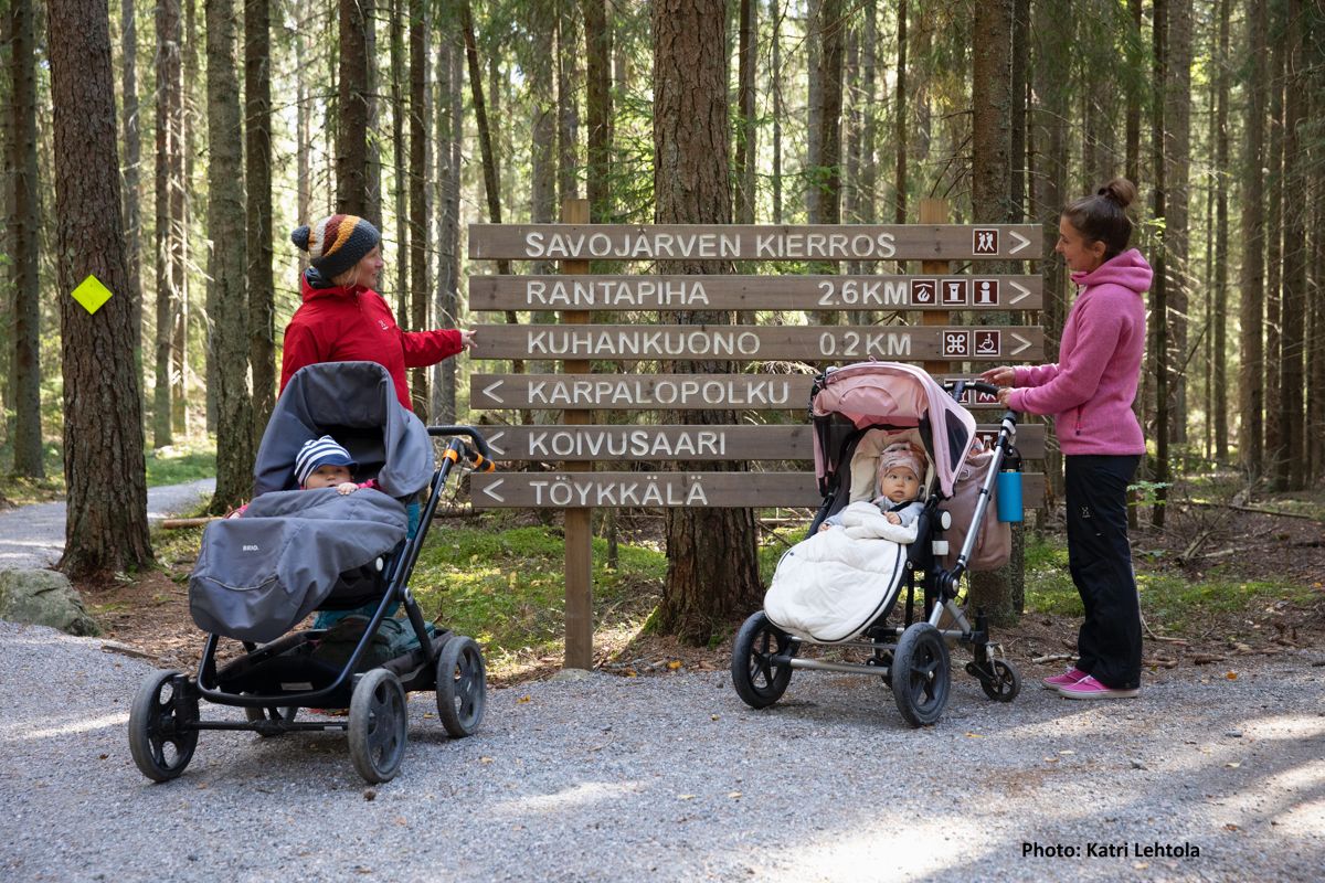
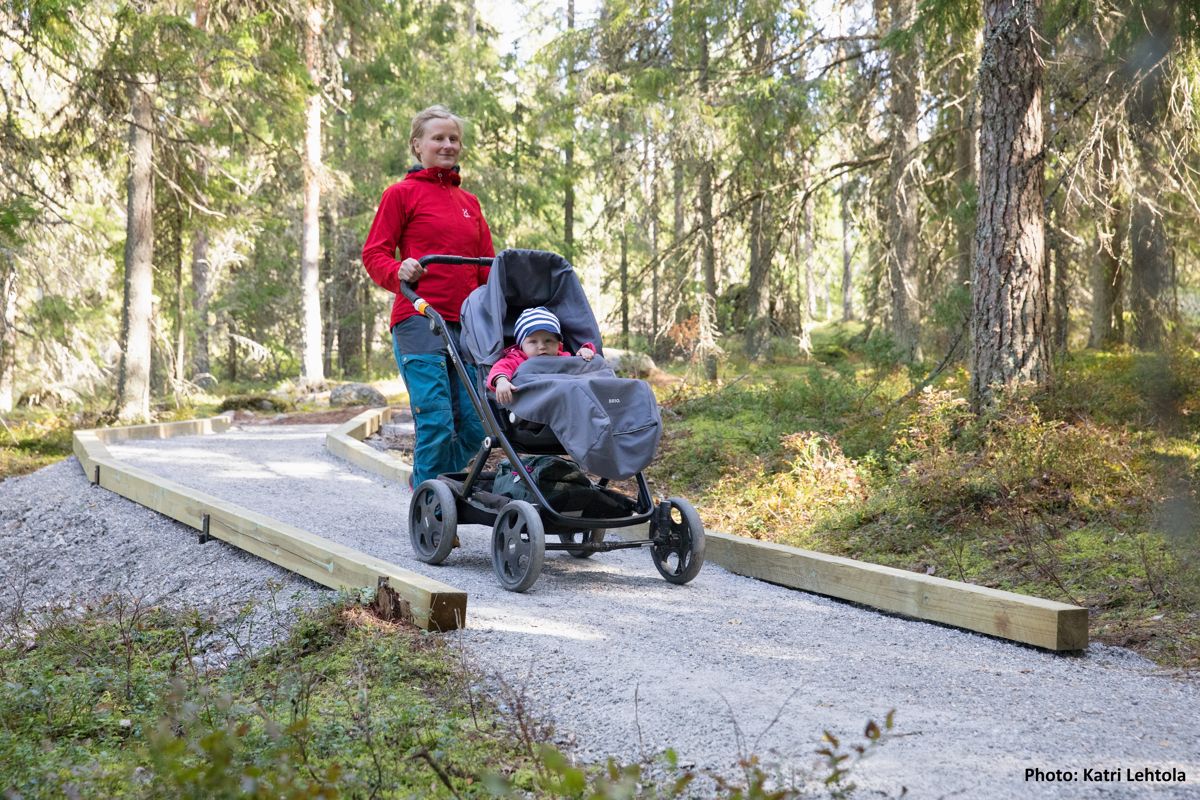
Nature trails, Accessible to parents with baby-strollers, Accessible toilet, Partly accessible
Object list
Watch the trail video:
Description:
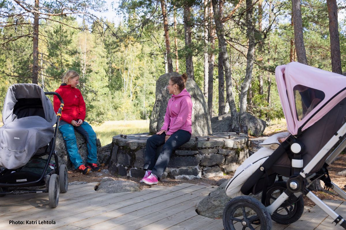
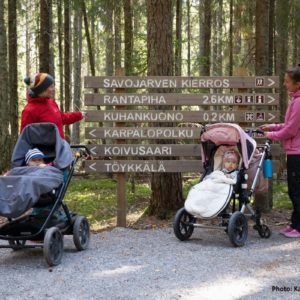
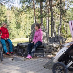
Within half an hour’s drive from the city of Turku to Kurjenrahka National Park, your setting changes from busy town life to a slower pace of uninhabited forests and marshes. Along the Karpalopolku Trail, your senses are filled with the aromas of the marshes and with the sounds of the forests. And however often you visit the national park, the sensations are always unique. Along Karpalopolku, you also see the famous Kuhankuono Stone, a border stone of seven communes.
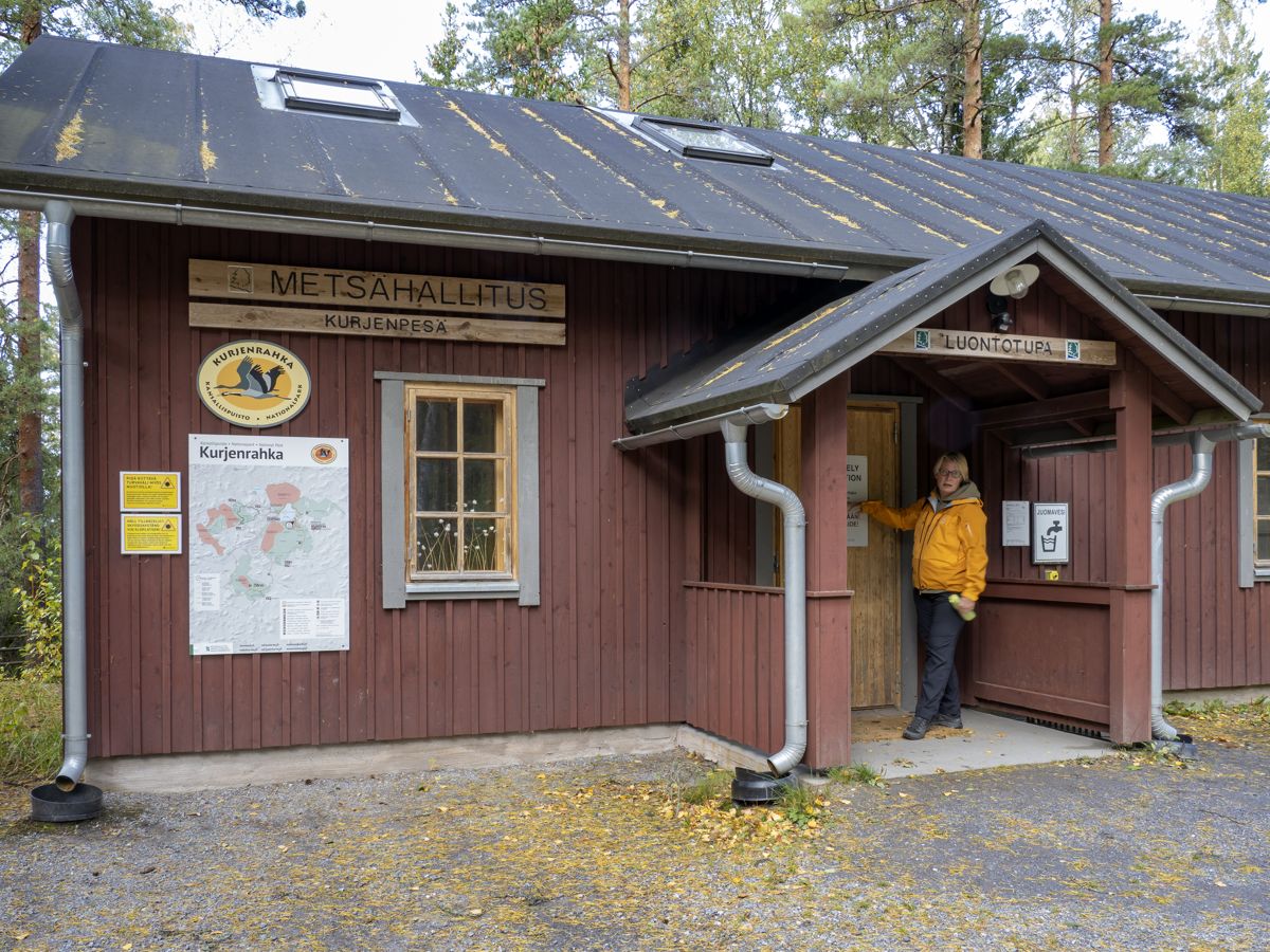
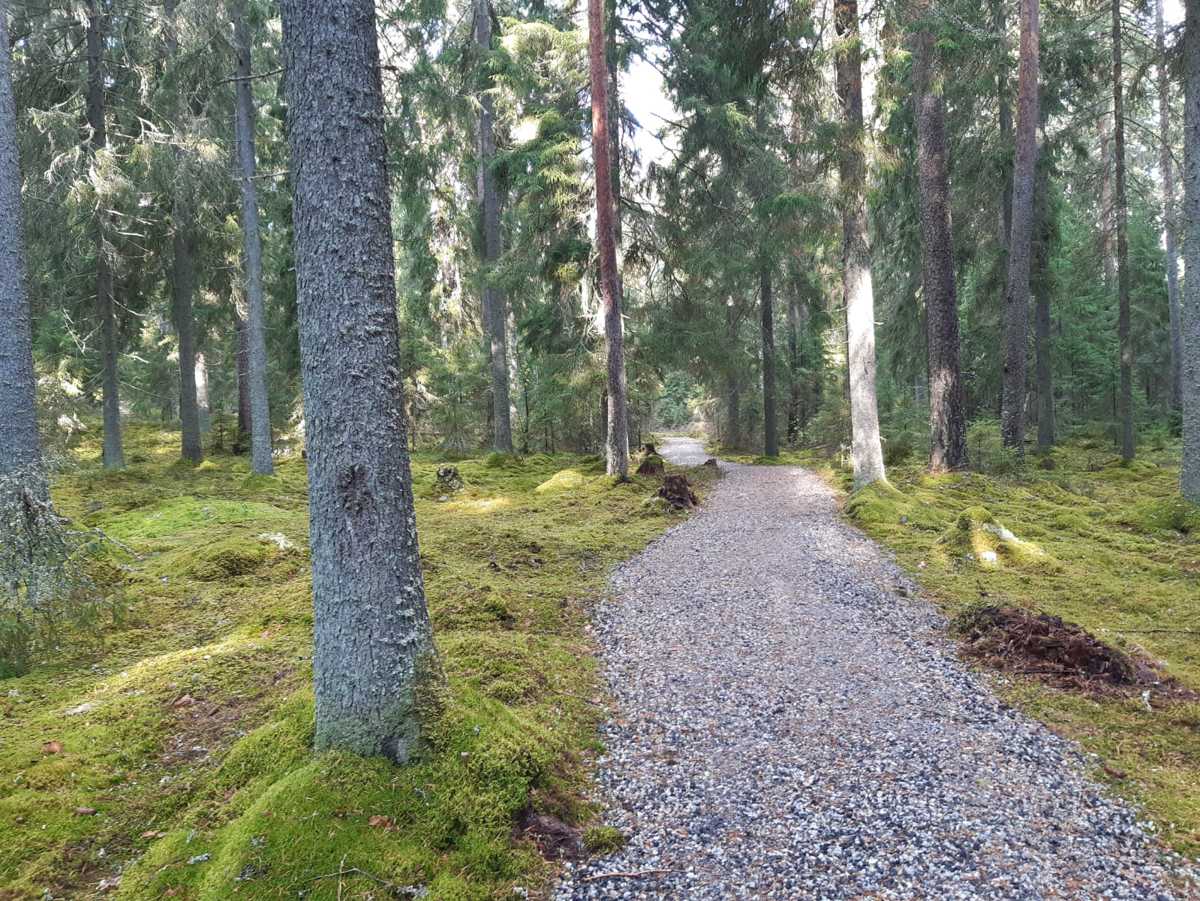
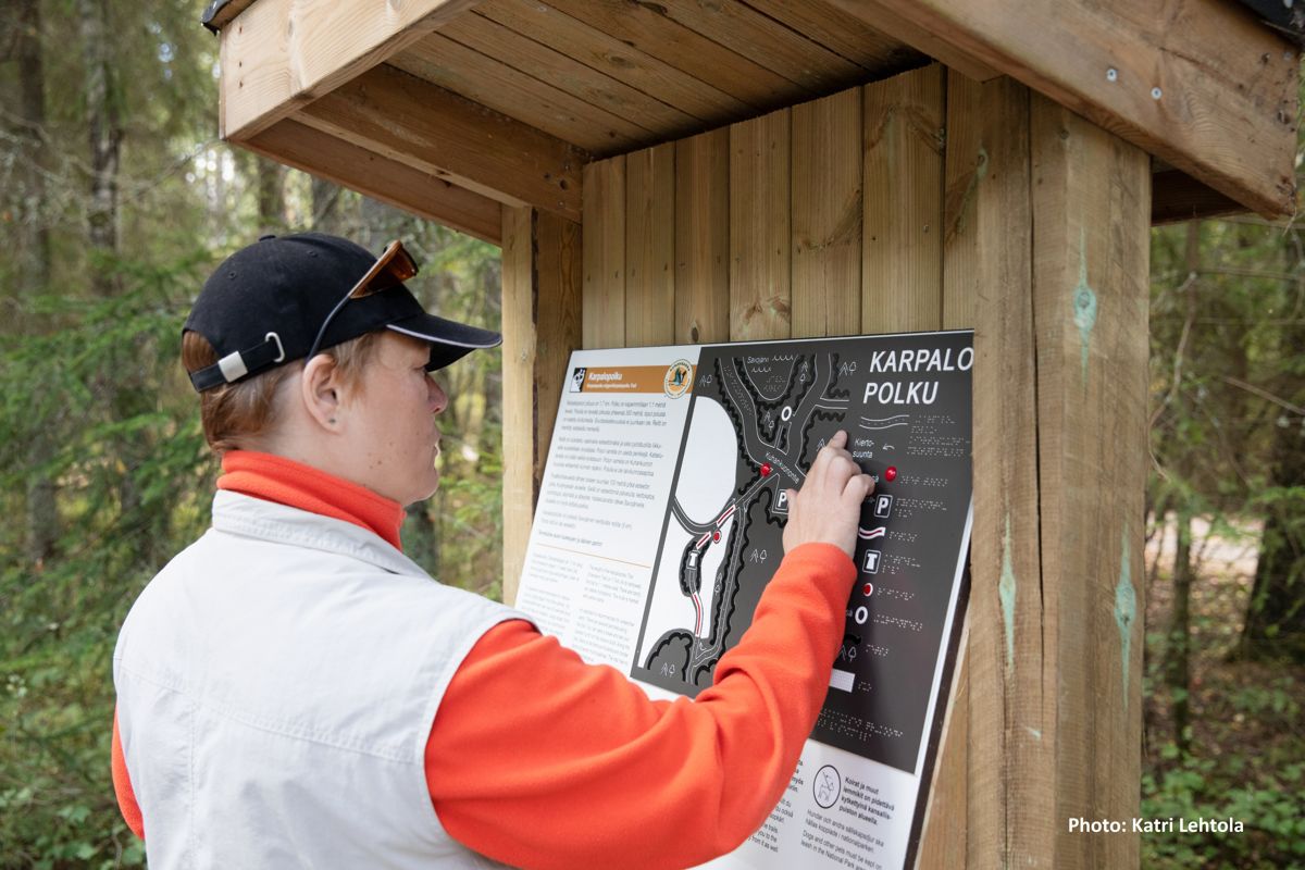
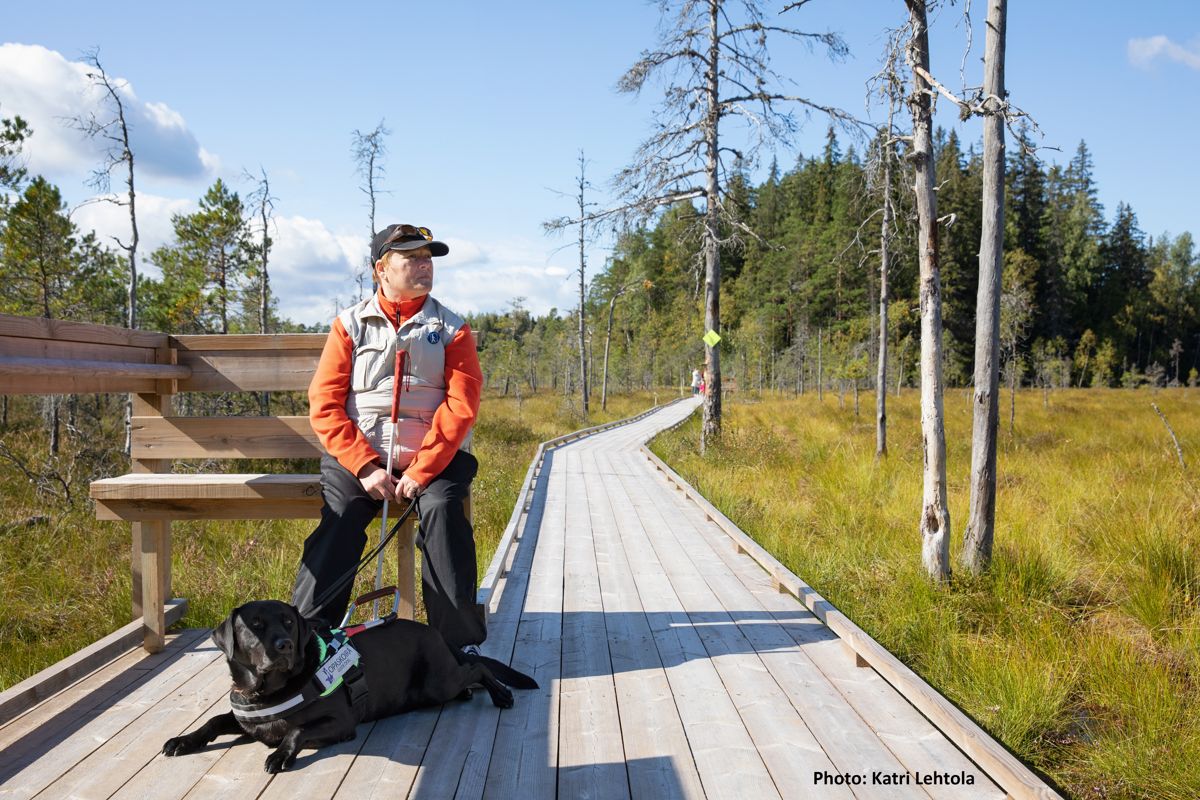
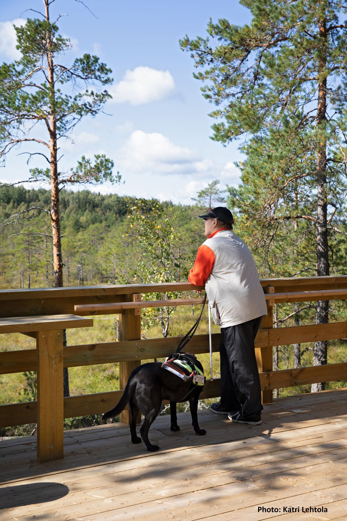
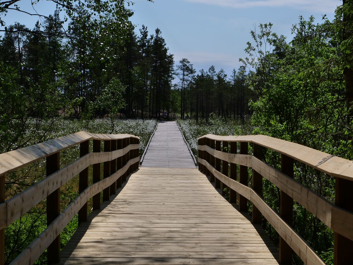
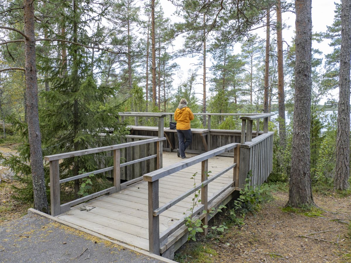
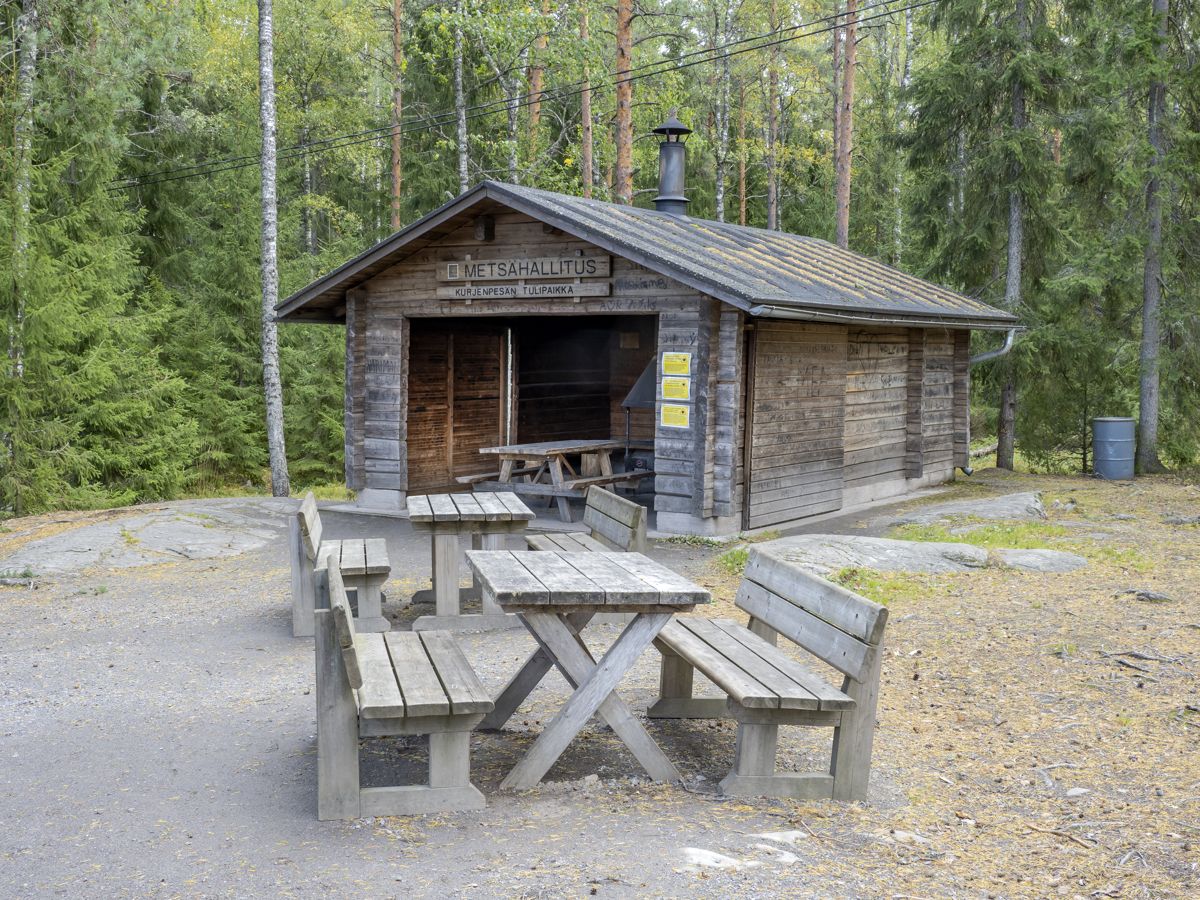
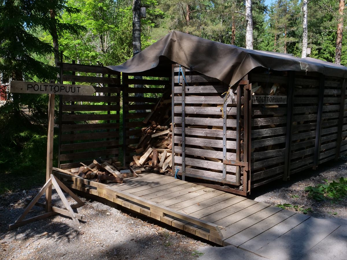
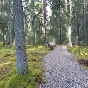
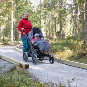
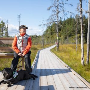
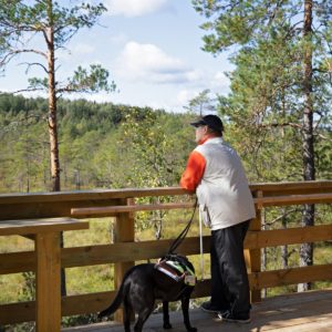
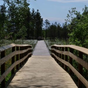
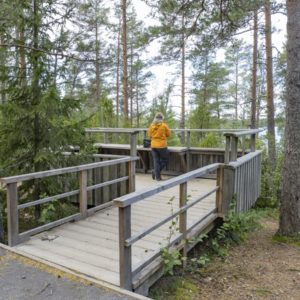
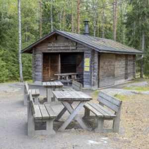
Along the Karpalopolku Trail, there is both a wooden boardwalk (0.3 km) and a graveled path (1.4 km), in different sections. The trail is at its narrowest (just 1.1 m wide) along the strecthes of wooden boardwalks. The trail undulates gently, both vertically and horizontally. Due to two larger inclines, assistance is needed for visitors in wheelchairs. There are a lot of benhces for resting along the trail. The viewing platform on the forest islet beside the marsh is a good place for a picnic. Leading away from the parking lot is another 100 m long trail to the Kurjenpesä area. There you can find accessible services like a cooking shelter, the Nature Information Hut, a dry toilet and a viewing platform from which you can enjoy the scenery of Lake Savojärvi. There is also a campsite.
Accessibility
How to get there: Coming from Turku, drive on Route 9 toward Tampere. There is a fork in the road about 17 km from Turku. Take Route 204 (Turku – Säkylä) for about 18 km and turn west onto Kuhankuono Road. On Route 204, there is a small sign before the fork. There are two parking lots. The one recommended for people with disabilities is at the end of the small road (700 m), rather than the one off of Route 204.
Facilities
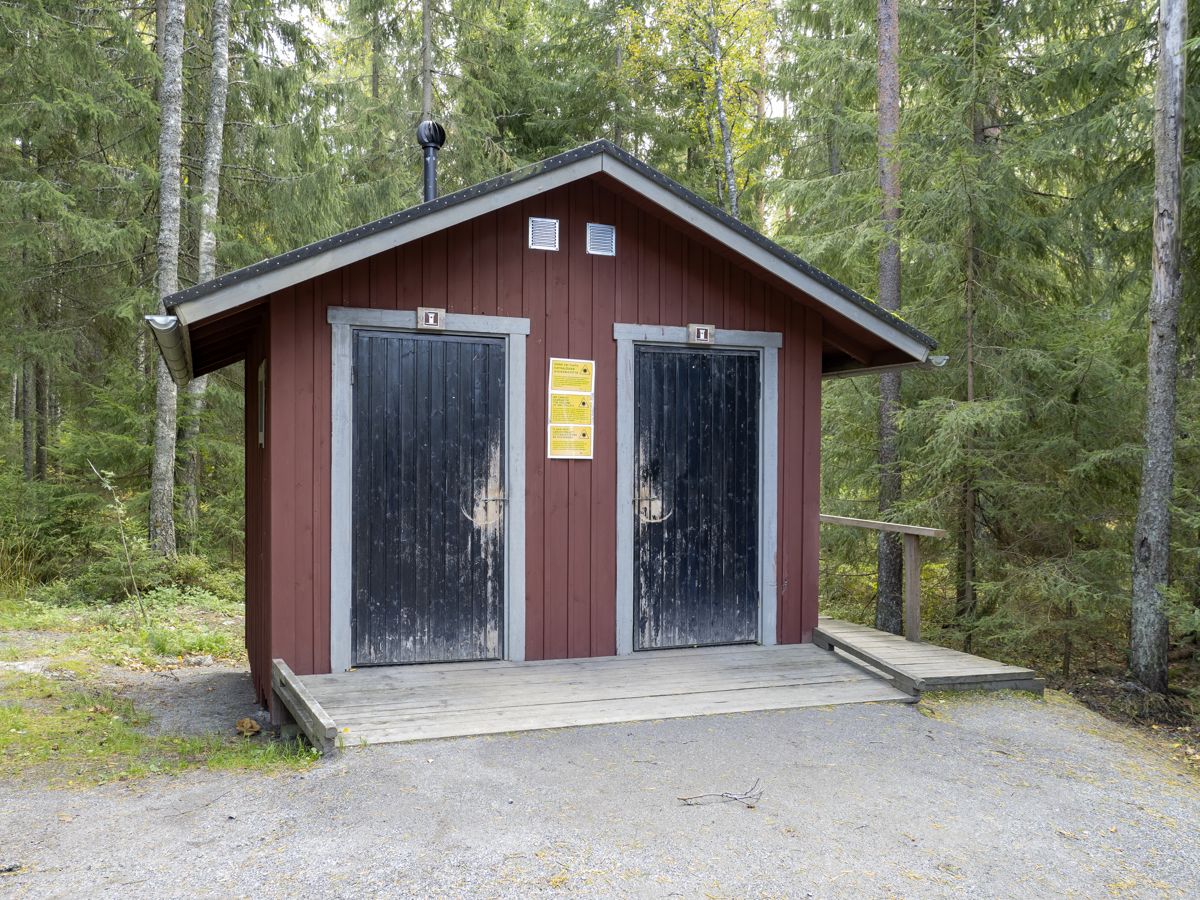
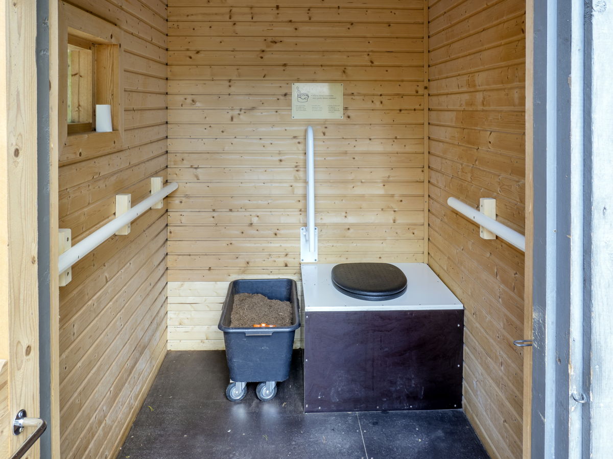
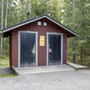
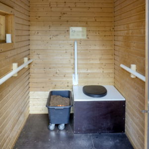
Accessible dry toilet in the Kurjenpesä area.
Cooking shelter and Nature Information Hut.
Rules to follow
Download the GPX of the trail
In order to open the GPX file with the trail route on a mobile phone or computer, please install one of the hiking apps or maps, e.g., Wikiloc, Outdooractive, ViewRanger, OS Maps or any other GPX file reading programme or application.
15 Photos


