Kariholma Trail
Nature trails, Accessible to parents with baby-strollers, Accessible toilet, Parking lot for handicaps, Partly accessible
Object list
Watch the trail video:
Description:
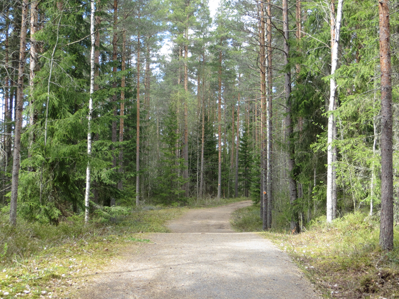
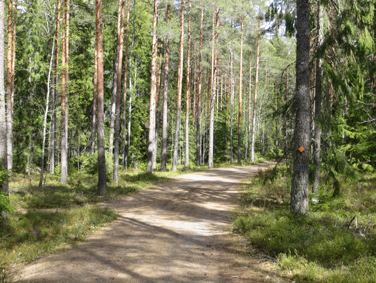
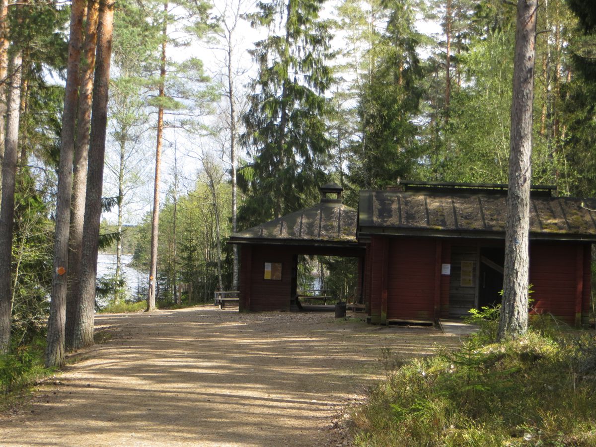
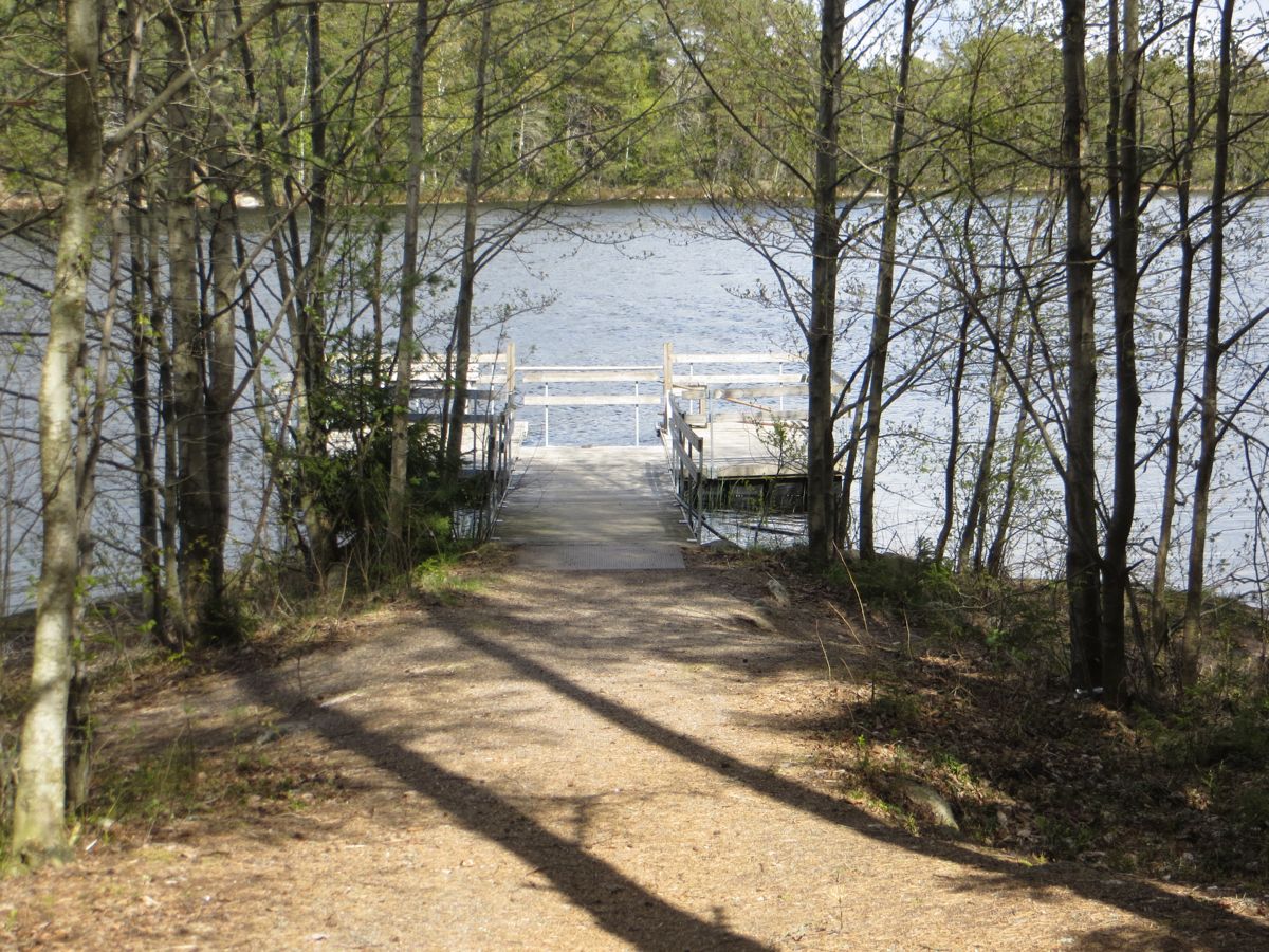
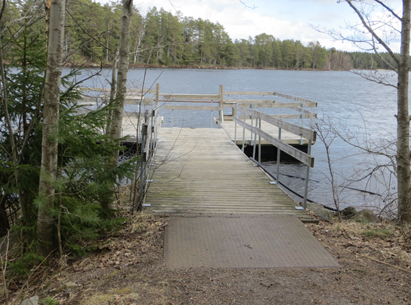
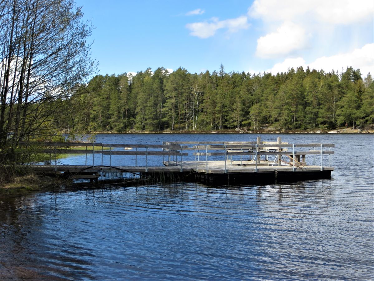
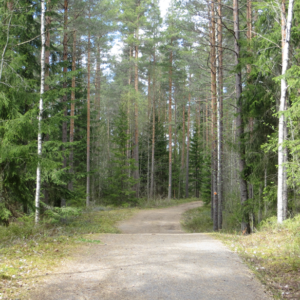
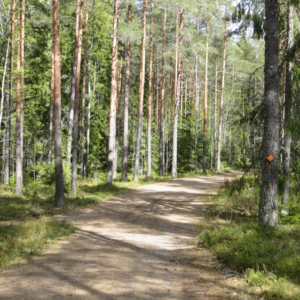
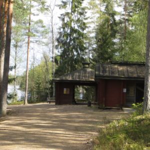
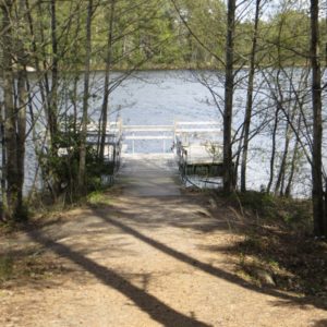
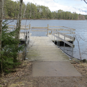
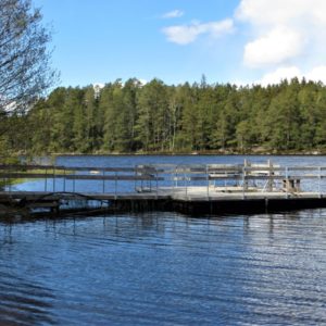
Teijo’s attractions include peaceful lakes and forests, as well as historic ironworks villages where traditional crafts still thrive. You can get a good taste of Teijo National Park on a day trip visiting accesible trails at Jeturkasti and at Kariholma, but it’s also well worth overnighting in cosy lodgnings in the charming villages of Mathildedal and of Kirjakkala. The 600 m long and 2.5 m wide Kariholma Trail ends at the shores of Lake Matildanjärvi. An assistant is needed with a wheelchair due to few inclines and descents. There are few benches along the trail. By the shore there is an accessible cooking shelter and firewood shelter, an accessible dry toilet and an accessible boat stage. From the stage, you may fish provided that you have a fishing permit. Lighting campfire in the cooking shelter is also allowed during a forest fire alarm.
Accessibility
How to get there: You can arrive to Mathildanjärvi iron work village from several directions. From Turku and Salo drive on the Route 1824 which goes along the coast from the town of Salo to the municipality of Kemiönsaari. On the way, there are signs along this road to Kirjakkala Iron Works Village and the road passes the Teijo Iron Works Village before reaching Mathildedal Iron Works Village. From there, you follow signs to the Teijo National Park, Matildanjärvi. Kariholma parking lot is at the beginning of Matildanjärvitie Road.
Arriving from Helsinki along the main Route 51 you turn right at Tammisaari (Route 52). After 32 km you reach the centre of Perniö commune where you turn to the left to the road 183. From there you follow the signs to the Teijo National Park, Matildanjärvi. Kariholma parking lot is at the beginning of Matildanjärvitie road.
Facilities
Fishing permit required (at the Nature Centre or on the internet)
Rules to follow
No trash bins
Download the GPX of the trail
In order to open the GPX file with the trail route on a mobile phone or computer, please install one of the hiking apps or maps, e.g., Wikiloc, Outdooractive, ViewRanger, OS Maps or any other GPX file reading programme or application.
6 Photos


