Jaanson’s Track – Health track on the right bank of the River Pärnu
Nature trails, Accessible to parents with baby-strollers, Partly accessible

Object list
Listen to trail audio
Watch the trail video:
Description:
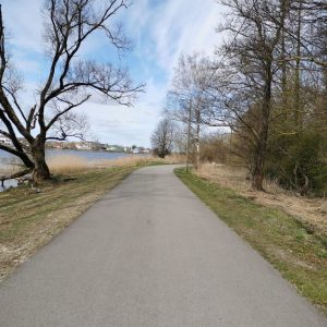
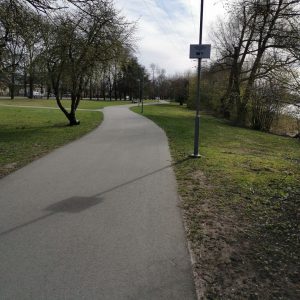
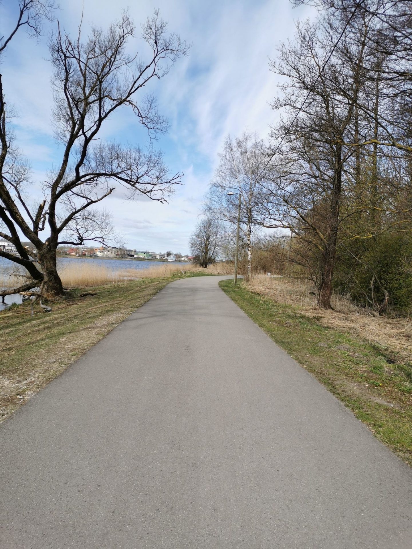
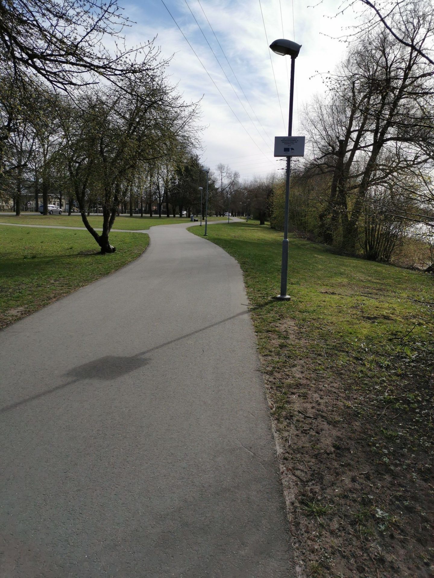
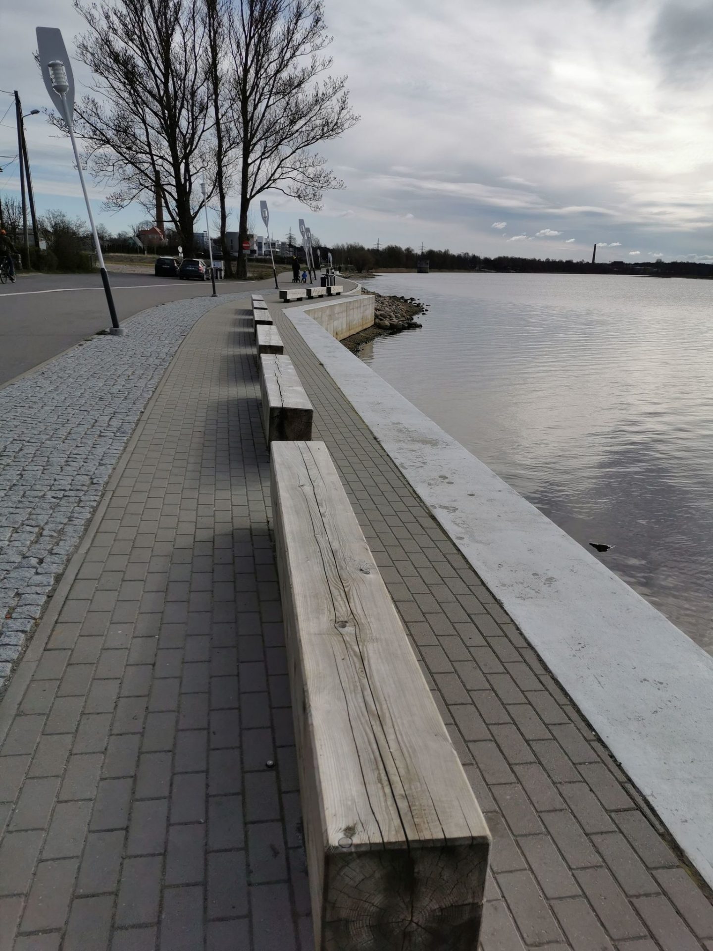
The health track on the right bank of the River Pärnu, known among the locals as the Jaanson’s Track, forms a loop-type trail, when combined with the health track on the left bank of the river (with a total distance of 8 km both together), and is one of the favourite places for exercise for the people enjoying the outdoors.
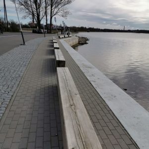
People come here to ride a bicycle, roller-skate, for Nordic pole walking or just to take a walk. The track runs along the right bank of the River Pärnu, uniting the bridge at the city centre of Pärnu with the Papiniidu bridge. It has benches for taking a break and shelters for a nice picnic.
Part of the trail passes Niidu Landscape Protection Area; therefore, it has more trees and greenery than the track on the opposite bank.
Accessibility
There is a slope to access to the bridge and steep rise/fall near the Niidu forest. Wheelchair users may need an assistant. Toilet is not adapted to wheelchair users.
Facilities
Rules to follow
Download the GPX of the trail
In order to open the GPX file with the trail route on a mobile phone or computer, please install one of the hiking apps or maps, e.g., Wikiloc, Outdooractive, ViewRanger, OS Maps or any other GPX file reading programme or application.
4 Photos
Close
Photos: Orvika Reilend
Location:
22/1 Suur-Jõekalda Street, Pärnu
GPS coordinates:
Lat:58.39034, Lon:24.49592Hiking time:
1,5 h (one direction)

Distance:
4 km (one direction)

Marking:
Not marked, but can easily follow the trail

Trail surface:
Asphalt, width 3-4,3 m (the bridge is 2,8 m wide)

Type:
Point-to-point
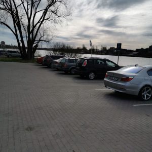
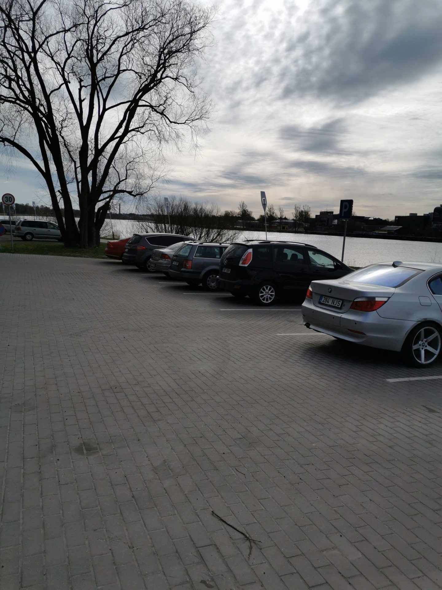
Getting there:
With a car, with a bus

Trail administrator:
Pärnu City Government
T: +372 444 8200
E: linnavalitsus@parnu.ee
Info:
Pärnu Tourism Information Centre
4 Uus Street, Pärnu
T: +372 4473 000
E: info@visitparnu.com
www.visitparnu.com
Closest shops, gas stations:
Pärnu
Slope:
Slope at some stretches slightly exceeds 8%, might take some effort for seniors and wheelchair users, assistant migh be suggested
Listen to trail audio
Watch the trail video:
Description:
The health track on the right bank of the River Pärnu, known among the locals as the Jaanson’s Track, forms a loop-type trail, when combined with the health track on the left bank of the river (with a total distance of 8 km both together), and is one of the favourite places for exercise for the people enjoying the outdoors.
People come here to ride a bicycle, roller-skate, for Nordic pole walking or just to take a walk. The track runs along the right bank of the River Pärnu, uniting the bridge at the city centre of Pärnu with the Papiniidu bridge. It has benches for taking a break and shelters for a nice picnic.
Part of the trail passes Niidu Landscape Protection Area; therefore, it has more trees and greenery than the track on the opposite bank.
Accessibility
There is a slope to access to the bridge and steep rise/fall near the Niidu forest. Wheelchair users may need an assistant. Toilet is not adapted to wheelchair users.
Facilities
Rules to follow
Download the GPX of the trail
In order to open the GPX file with the trail route on a mobile phone or computer, please install one of the hiking apps or maps, e.g., Wikiloc, Outdooractive, ViewRanger, OS Maps or any other GPX file reading programme or application.
4 Photos
Close
Photos: Orvika Reilend