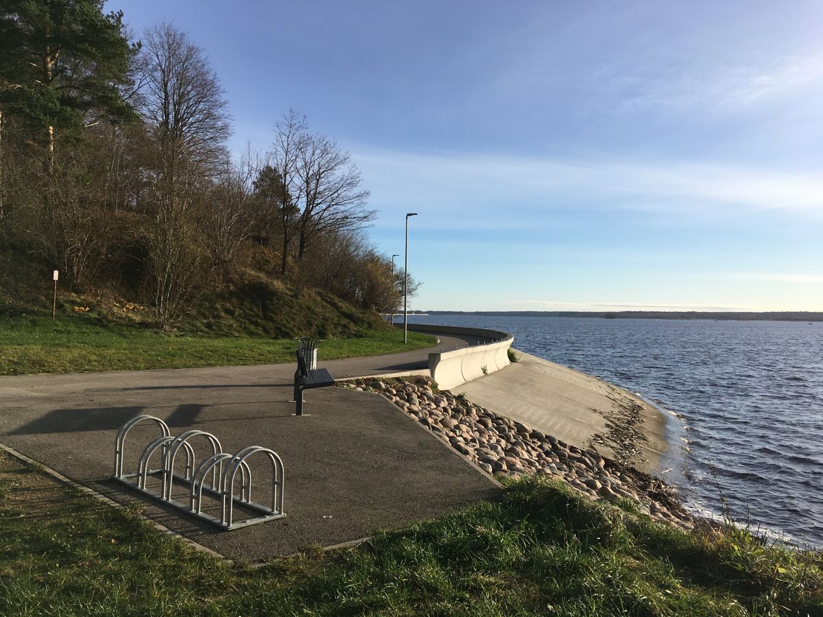
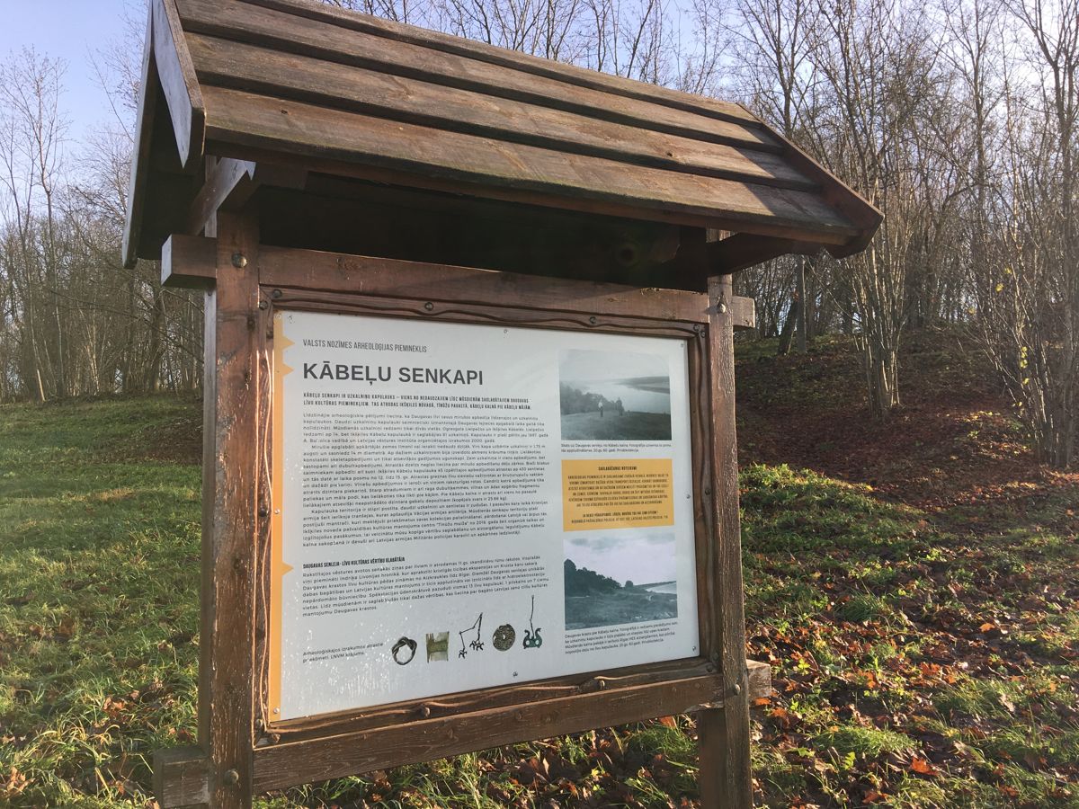
Daugava Promenade in Ikšķile
Nature trails, Accessible, Accessible to parents with baby-strollers, Parking lot for handicaps
Object list
Watch the trail video:
Description:
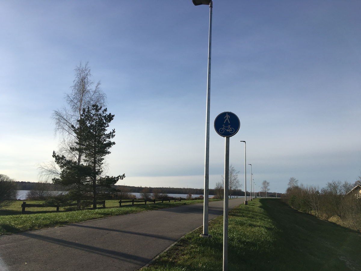
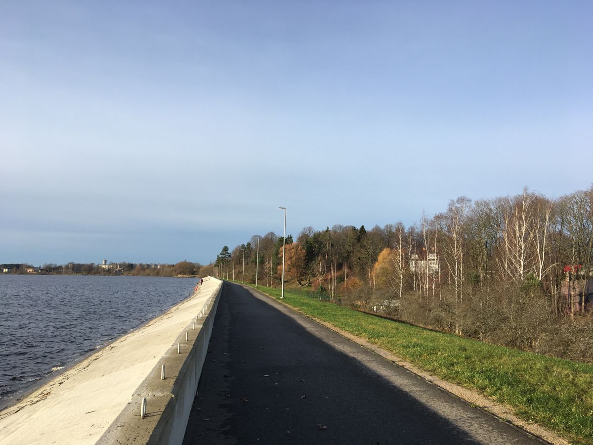
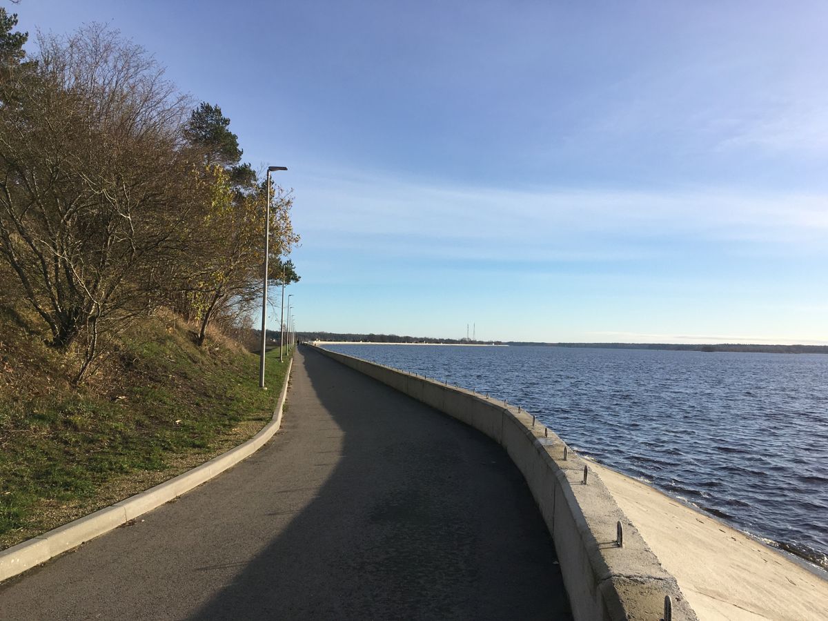
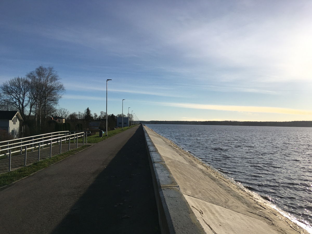
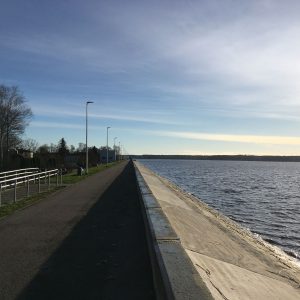
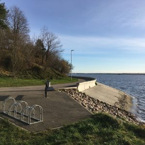
The Daugava promenade is a popular place among locals and visitors for walking, cycling and fishing. The promenade, which is also the Riga HPP protective dam, has been constructed to protect the adjusent areas from flooding. The promenade has been recently renovated and stretches along the bank of the River Daugava in Ogre and Ikšķile. Both promenades are connected with a road, which is also suitable for cyclers.
Accessibility
Facilities
Accessible WC – at the municipality and nearby gas stations and shopping centres
Rules to follow
Download the GPX of the trail
In order to open the GPX file with the trail route on a mobile phone or computer, please install one of the hiking apps or maps, e.g., Wikiloc, Outdooractive, ViewRanger, OS Maps or any other GPX file reading programme or application.
6 Photos


