Vaata raja video:
Kirjeldus:
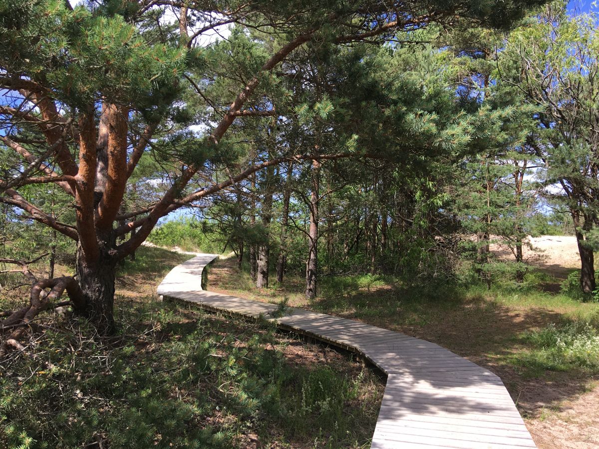
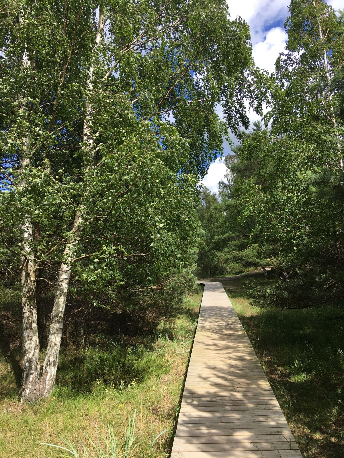
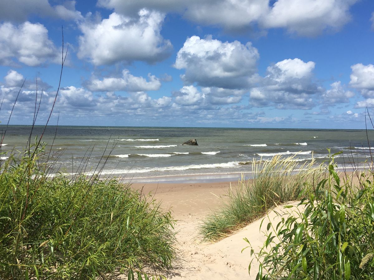
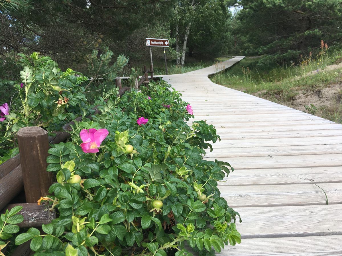
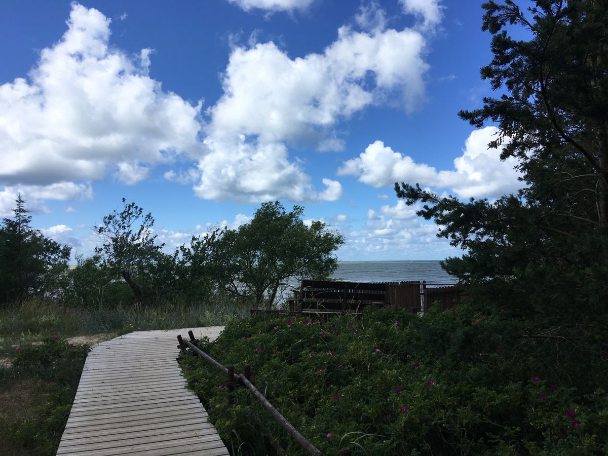
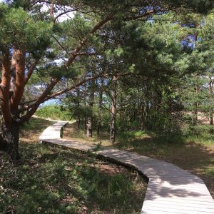
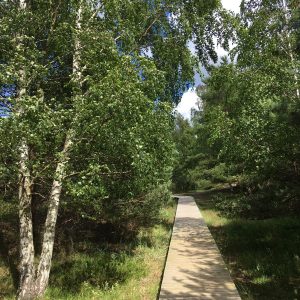
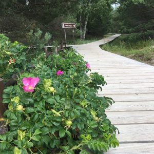
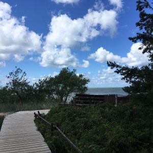
Pāvilosta rannarada kulgeb piki Lätimaa suurimat halli luidet, lubades kiirustamata nautida jalutuskäiku mööda laudteed rannaala keskosas. Rada pakub tutvumiseks unikaalset rannikumaastikku ja hallile luitele iseloomulikke taimi. Ranna liivaala pole ligipääsetav ratastooli kasutajatele, mistõttu päris kalda äärde pole võimalik jõuda.
Accessibility
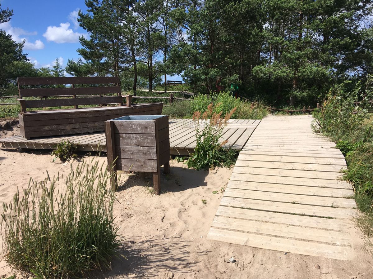
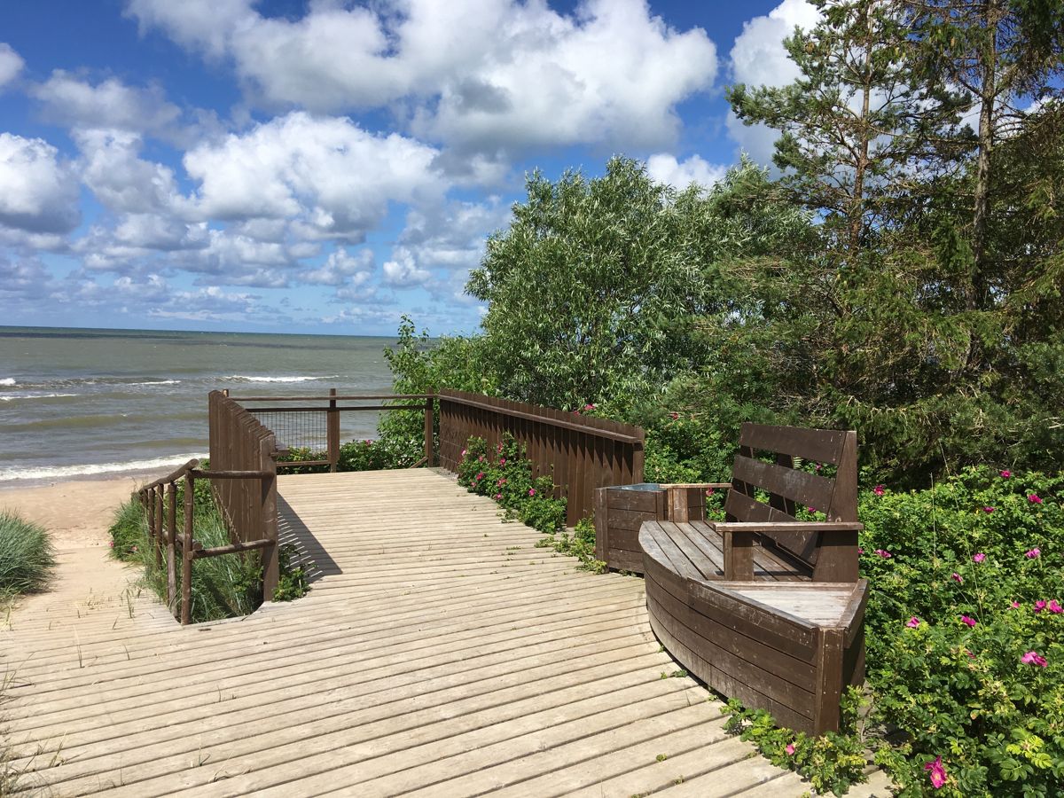
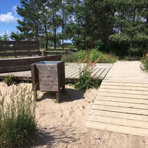
There are few slopes on the way, which may hinder the movement, therefore assistant is recommended for people in wheelchairs. No special exchange areas, but it is possible to exchange at the small resting spots and boardwalk intersection at the sign to the graves of Lithuanian soldiers.
Facilities
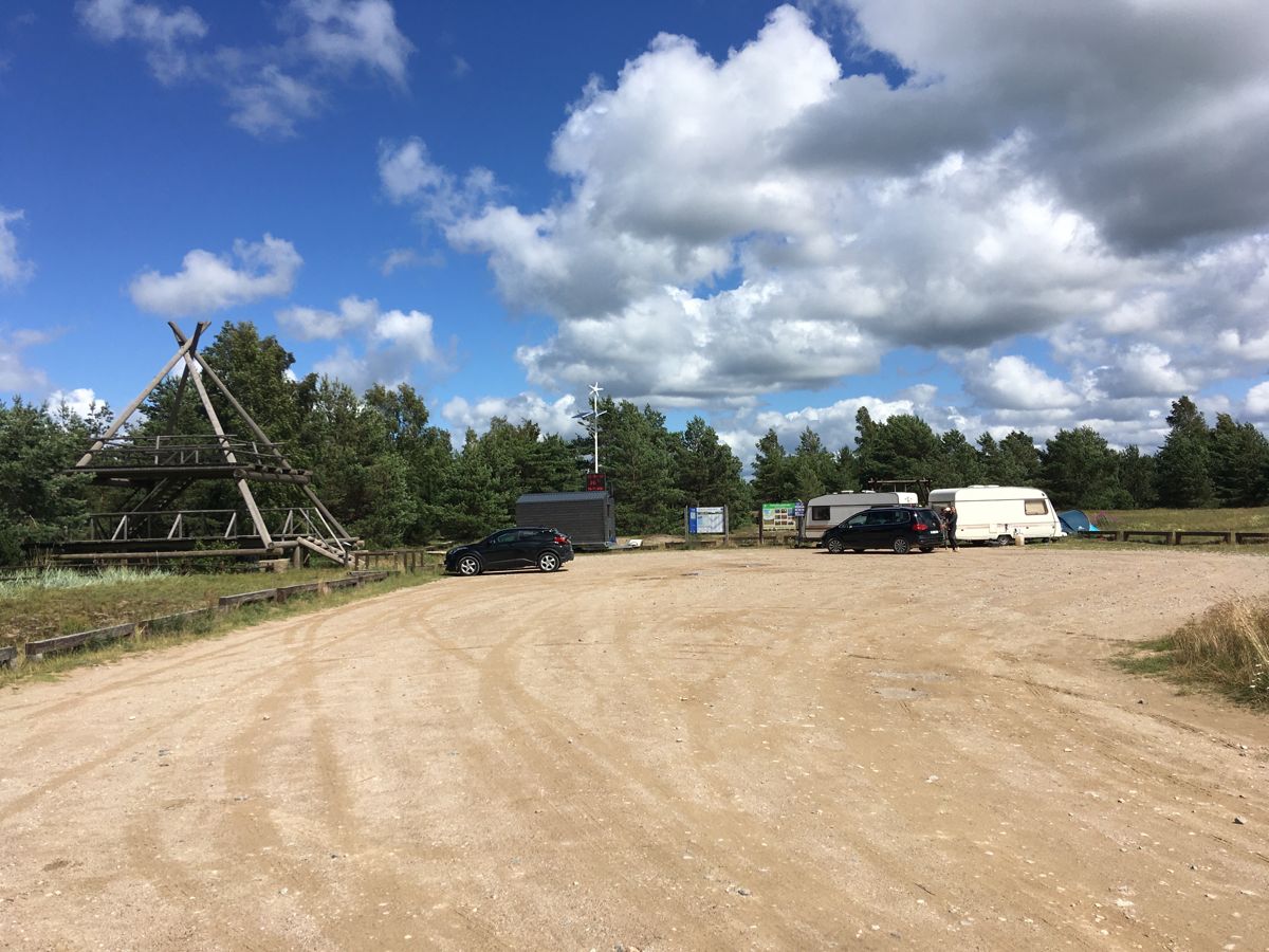
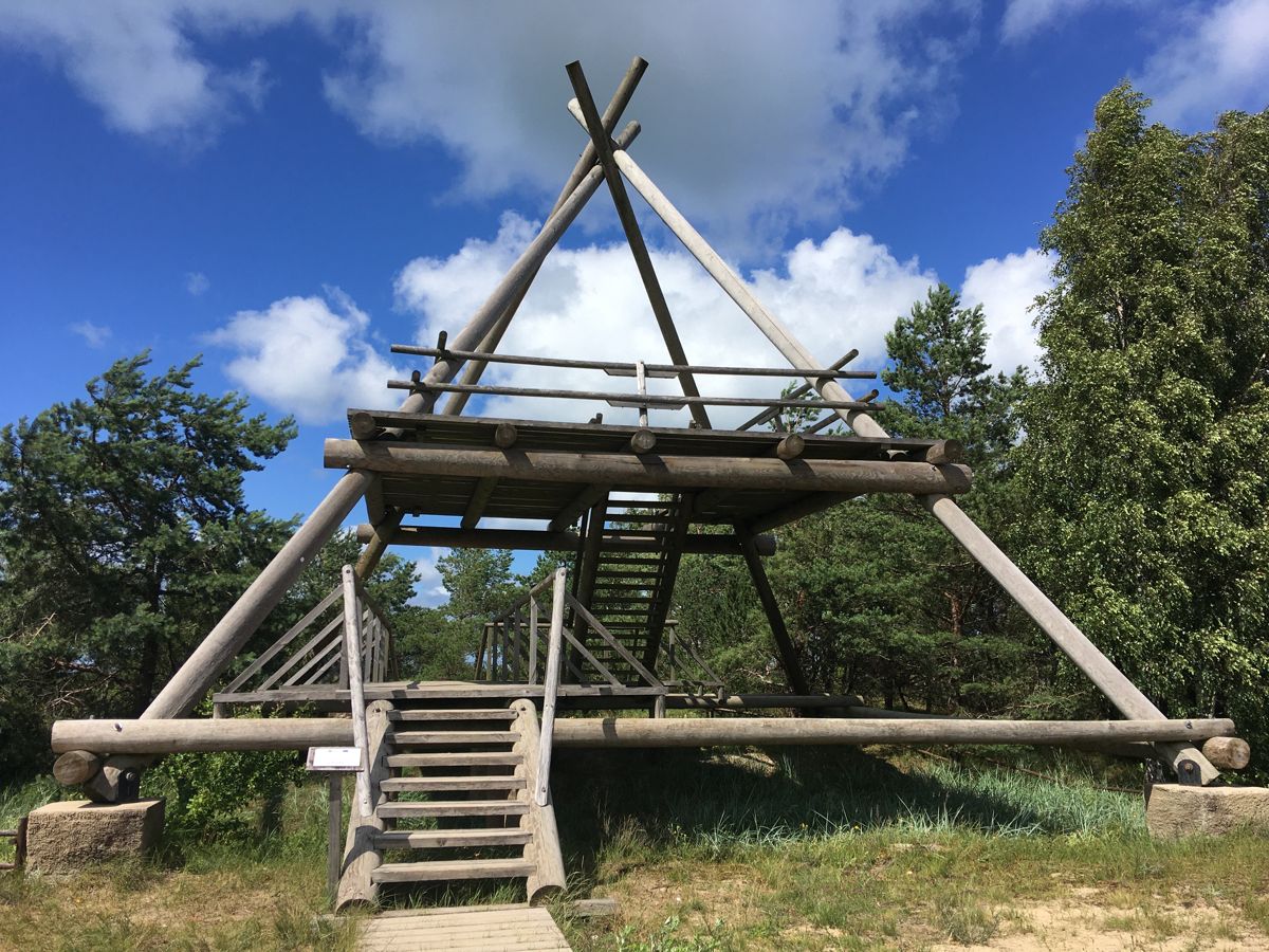
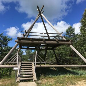
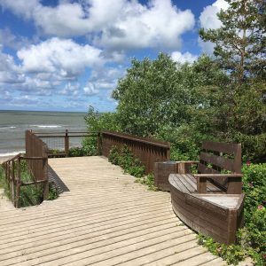
Closest accessible WC – at Pāvilosta County Tourism Info Centre. Viewing platform – accessible. Watching tower – not accessible to wheelchair users.
Rules to follow
Download the GPX of the trail
In order to open the GPX file with the trail route on a mobile phone or computer, please install one of the hiking apps or maps, e.g., Wikiloc, Outdooractive, ViewRanger, OS Maps or any other GPX file reading programme or application.
9 Fotod


