Kariholma matkarada
Loodusrada, Invaparkimiskohad, Osaliselt ligipääsetav, Ligipääsetav tualett, Ligipääsetav lapsevankriga
Vali objekt
Kuula raja tutvustust
Vaata raja video:
Kirjeldus:
Teijo rahvuspargi tõmbenumbrite hulka kuuluvad järved ja metsad, aga ka ajaloolised metallitöökülad, kus traditsiooniline käsitöö endiselt õitseb. Hea aimduse Teijost saate päevareisiga, külastades Jeturkasti ja Kariholma ligipääsetavaid matkaradasid. Kes soovib aga jääda kauemaks, see leiab hubase majutuse Mathildedali ja Kirjakkala küladest.
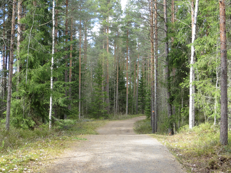
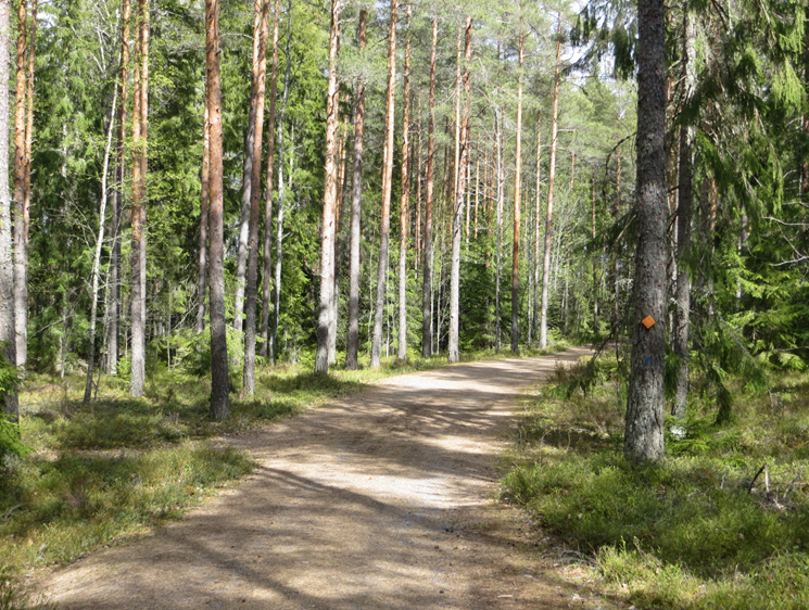
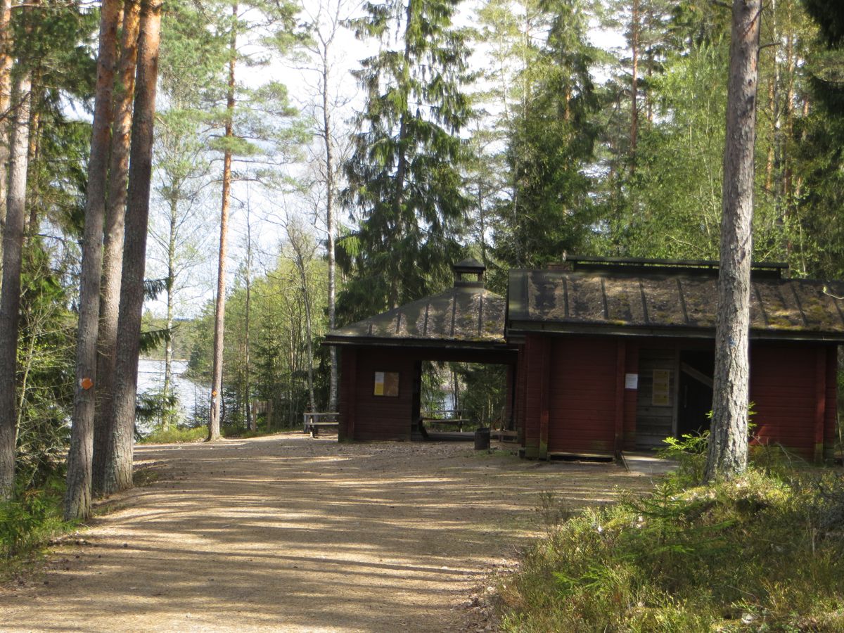
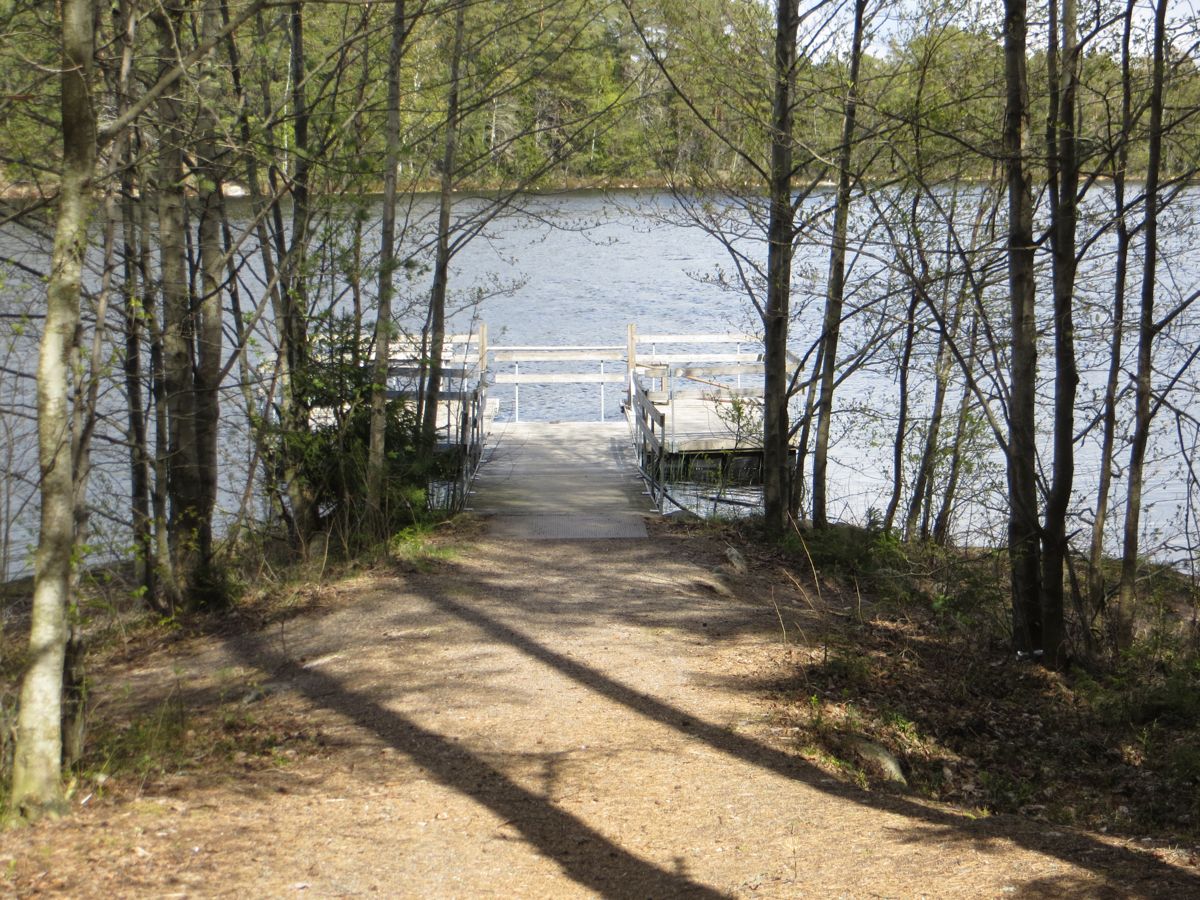
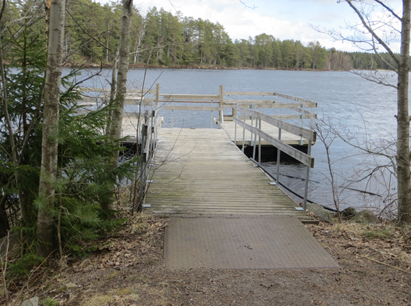
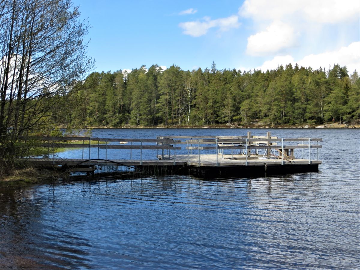
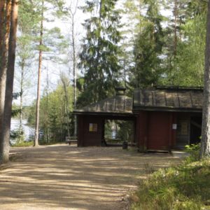
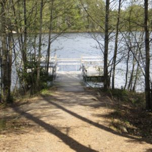
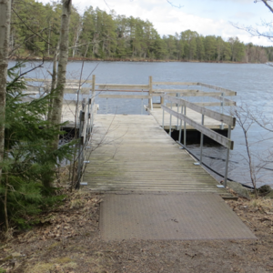
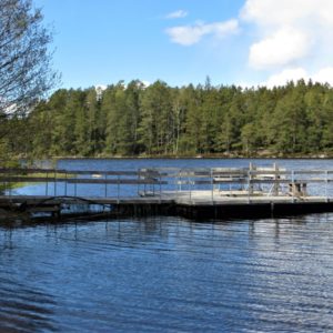
600 m pikk Kariholma matkarada (laiusega 2,5 m) lõpeb Matildanjärvi kallastel. Ratastooliga inimesed vajavad abistajat mõnede tõusude ja languste tõttu. Raja ääres on mõned pingid. Kaldal asuvad söögivalmistamise varjualune ja lõkkepuude kuur, kuivkäimla ja pontoon paatidele; kõik need on ligipääsetavad. Pontoonilt on võimalik kalastada, kui teil on kalapüügiluba. Söögivalmistamise varjualuses lõkke tegemine on lubatud ka metsatulekahjuhoiatuse ajal.
Accessibility
How to get there: You can arrive to Mathildanjärvi iron work village from several directions. From Turku and Salo drive on the Route 1824 which goes along the coast from the town of Salo to the municipality of Kemiönsaari. On the way, there are signs along this road to Kirjakkala Iron Works Village and the road passes the Teijo Iron Works Village before reaching Mathildedal Iron Works Village. From there, you follow signs to the Teijo National Park, Matildanjärvi. Kariholma parking lot is at the beginning of Matildanjärvitie Road.
Arriving from Helsinki along the main Route 51 you turn right at Tammisaari (Route 52). After 32 km you reach the centre of Perniö commune where you turn to the left to the road 183. From there you follow the signs to the Teijo National Park, Matildanjärvi. Kariholma parking lot is at the beginning of Matildanjärvitie road.
Facilities
Fishing permit required (at the Nature Centre or on the internet)
Rules to follow
No trash bins
Download the GPX of the trail
In order to open the GPX file with the trail route on a mobile phone or computer, please install one of the hiking apps or maps, e.g., Wikiloc, Outdooractive, ViewRanger, OS Maps or any other GPX file reading programme or application.
6 Fotod


