Daugava jõe promenaad Ikšķiles
Loodusrada, Invaparkimiskohad, Ligipääsetav lapsevankriga, Ligipääsetav
Vali objekt
Vaata raja video:
Kirjeldus:
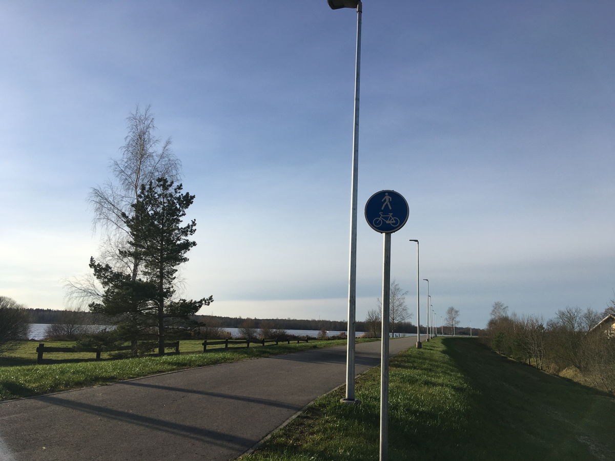
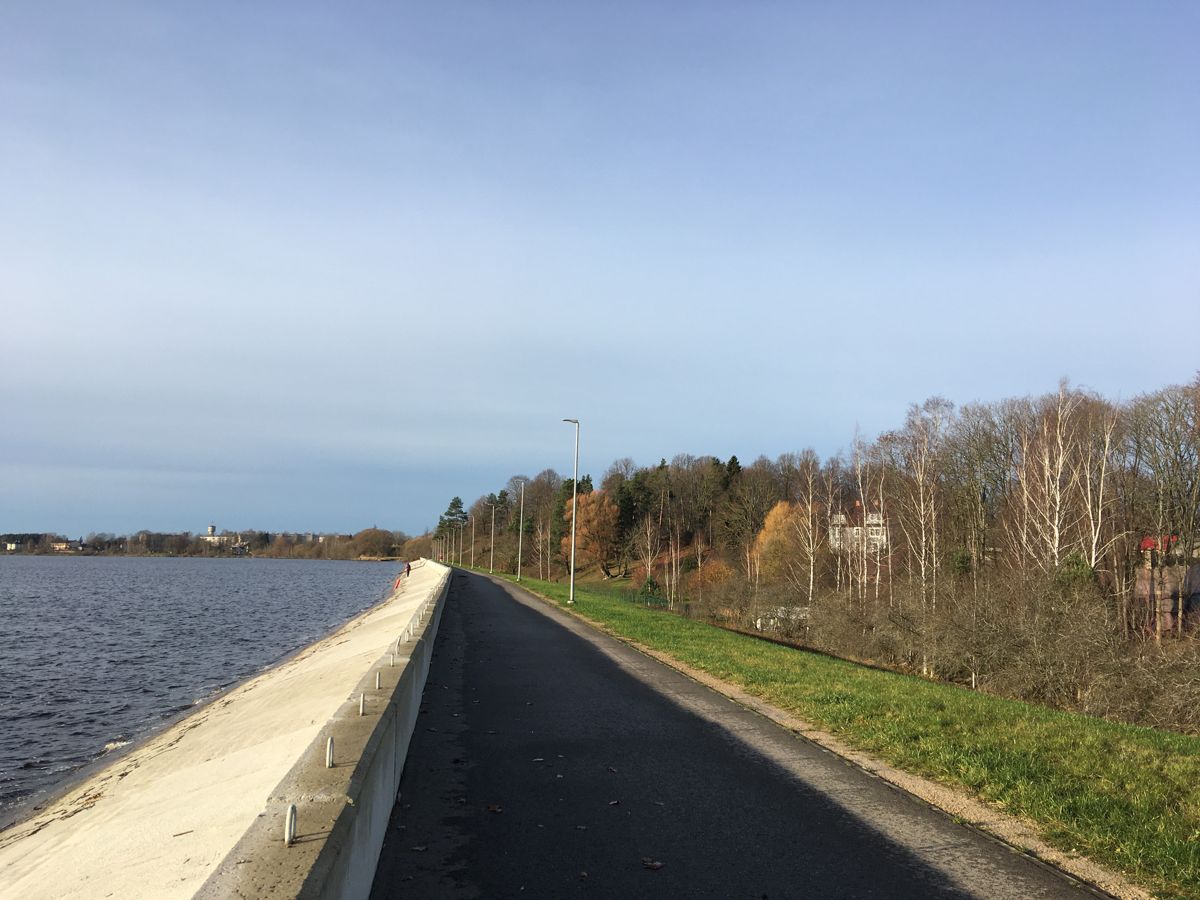
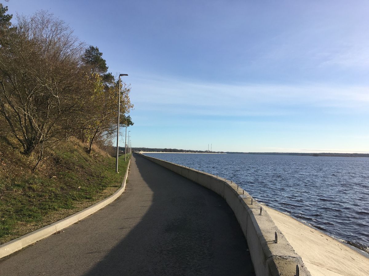
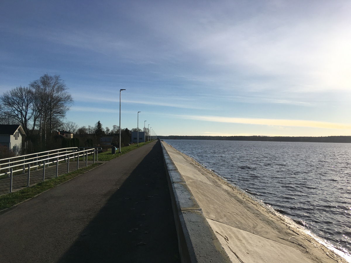
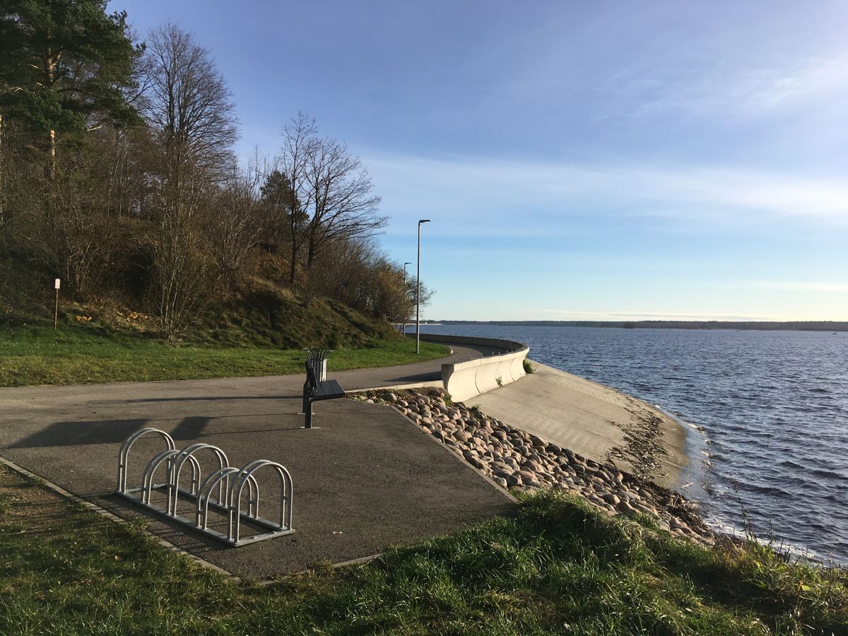
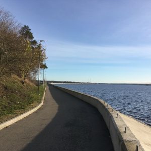
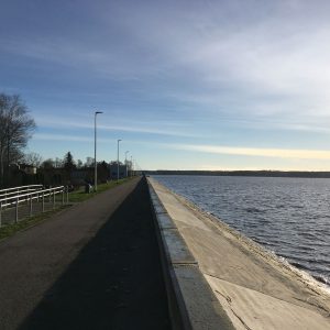
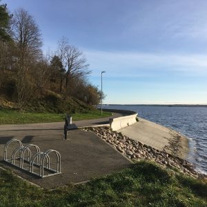
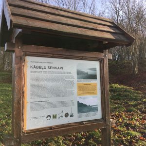
Daugava promenaad on nii kohalike elanike kui linnakülaliste hulgas hinnatud koht jalutamiseks, rattasõiduks ja kalastamiseks. Promenaad ehk Riia hüdroelektrijaama tamm on rajatud eesmärgiga kaitsta külgnevaid alasid üleujutuste eest.
Korrastatud promenaad kulgeb piki Daugava jõe kallast Ogres ja Ikšķiles. Kaht promenaadi ühendab tee, mis sobib ka rattasõitjatele.
Accessibility
Facilities
Accessible WC – at the municipality and nearby gas stations and shopping centres
Rules to follow
Download the GPX of the trail
In order to open the GPX file with the trail route on a mobile phone or computer, please install one of the hiking apps or maps, e.g., Wikiloc, Outdooractive, ViewRanger, OS Maps or any other GPX file reading programme or application.
6 Fotod


